491 Green Acre Cir Howard, OH 43028
Apple Valley NeighborhoodEstimated Value: $759,000 - $1,878,000
5
Beds
5
Baths
3,865
Sq Ft
$383/Sq Ft
Est. Value
About This Home
This home is located at 491 Green Acre Cir, Howard, OH 43028 and is currently estimated at $1,479,968, approximately $382 per square foot. 491 Green Acre Cir is a home located in Knox County with nearby schools including East Knox Elementary School and East Knox High School.
Ownership History
Date
Name
Owned For
Owner Type
Purchase Details
Closed on
Apr 3, 2017
Sold by
Weber Michael A and Weber Marna J
Bought by
Hendricks Robert A and Hendricks Mary E
Current Estimated Value
Purchase Details
Closed on
Jul 1, 2005
Sold by
Clapp Denise Porter
Bought by
Weber Michael A
Purchase Details
Closed on
Aug 26, 1999
Sold by
Clapp Eric M and Denise Por
Bought by
Clapp Denise Porter
Purchase Details
Closed on
Jul 10, 1986
Bought by
Clapp Eric M and Denise Por
Create a Home Valuation Report for This Property
The Home Valuation Report is an in-depth analysis detailing your home's value as well as a comparison with similar homes in the area
Home Values in the Area
Average Home Value in this Area
Purchase History
| Date | Buyer | Sale Price | Title Company |
|---|---|---|---|
| Hendricks Robert A | $345,500 | None Available | |
| Weber Michael A | $172,500 | None Available | |
| Clapp Denise Porter | -- | -- | |
| Clapp Eric M | $20,000 | -- |
Source: Public Records
Tax History Compared to Growth
Tax History
| Year | Tax Paid | Tax Assessment Tax Assessment Total Assessment is a certain percentage of the fair market value that is determined by local assessors to be the total taxable value of land and additions on the property. | Land | Improvement |
|---|---|---|---|---|
| 2024 | $18,787 | $480,300 | $145,080 | $335,220 |
| 2023 | $18,787 | $480,300 | $145,080 | $335,220 |
| 2022 | $14,965 | $331,240 | $100,050 | $231,190 |
| 2021 | $14,965 | $331,240 | $100,050 | $231,190 |
| 2020 | $13,751 | $320,070 | $100,050 | $220,020 |
| 2019 | $2,029 | $40,830 | $37,210 | $3,620 |
| 2018 | $1,903 | $40,830 | $37,210 | $3,620 |
| 2017 | $1,888 | $40,830 | $37,210 | $3,620 |
| 2016 | $1,776 | $37,800 | $34,450 | $3,350 |
| 2015 | $1,620 | $37,800 | $34,450 | $3,350 |
| 2014 | $1,623 | $37,800 | $34,450 | $3,350 |
| 2013 | $1,595 | $35,210 | $31,090 | $4,120 |
Source: Public Records
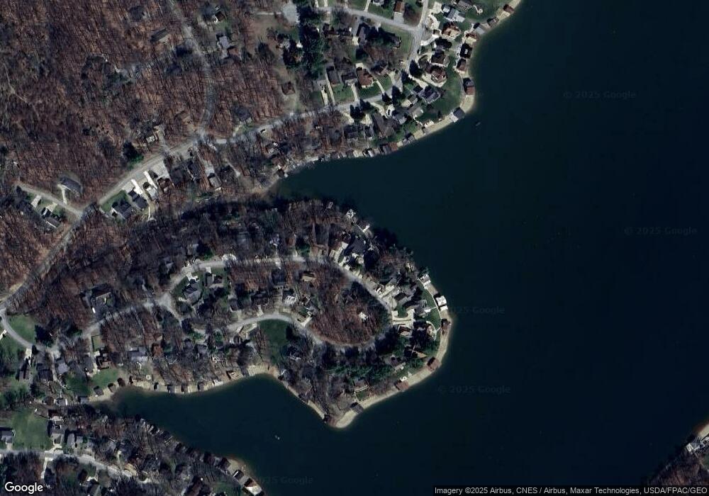
Map
Nearby Homes
- 512 Greenacre Cir
- 535 Green Acre Cir
- 2037 Apple Valley Dr Unit 514, 515
- 3162 Apple Valley Dr
- 2536 Apple Valley Dr
- 2536 Apple Valley Dr Unit Lot 298
- 2100 Apple Valley Dr Unit Lot 63
- 3142 Apple Valley Dr
- 229 Green Valley Dr
- 2028 Apple Valley Dr
- 561 Mcintosh Dr
- 520 Grand Ridge Dr
- 657 King Beach Dr
- 232 Northern Spy Dr
- 441 Grand Ridge Dr
- 544 Grand Ridge Dr
- 520 King Beach Dr
- 564 Grand Ridge Dr
- 480 Baldwin Heights Cir
- 480 Baldwin Hgts Cir
- 491 Greenacre Cir
- 487 Green Acre Cir
- 495 Green Acre Cir
- 499 Green Acre Cir
- 484 Greenacre Cir
- 503 Green Acre Cir
- 479 Green Acre Cir
- 504 Green Acre Cir
- 507 Greenacre Cir
- 507 Green Acre Cir
- 475 Green Acre Cir
- 436 Greenacre Cir
- 475 Greenacre Cir Unit Lot 29
- 475 Greenacre Cir
- 511 Greenacre Cir
- 511 Green Acre Cir
- 476 Green Acre Cir
- 432 Green Acre Cir
- 471 Green Acre Cir
- 471 Greenacre Cir