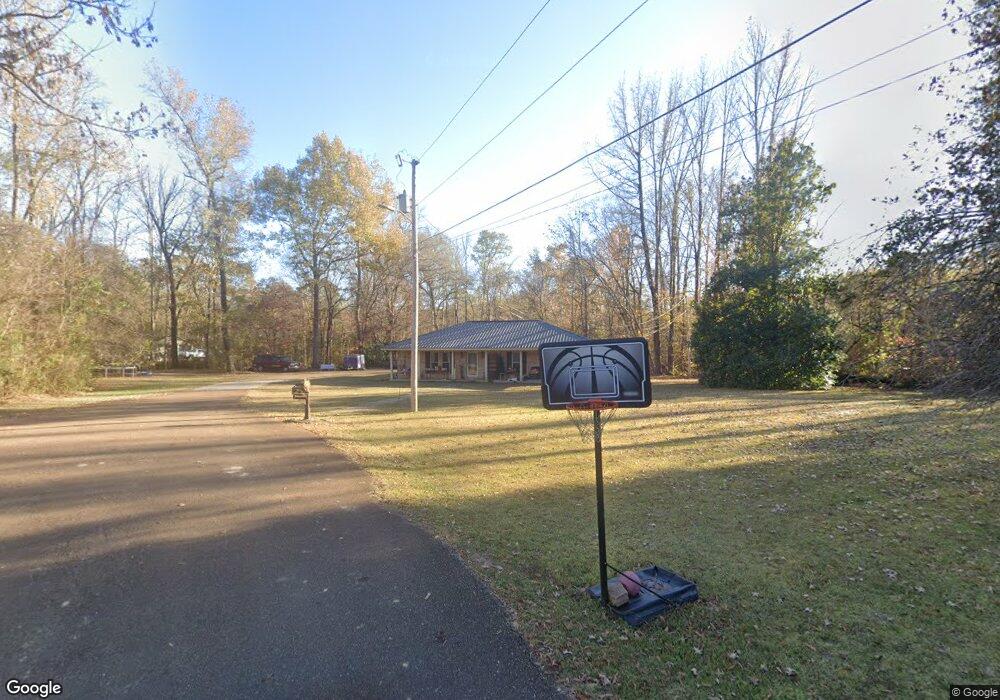
491 Greer Rd Grenada, MS 38901
Estimated Value: $143,000 - $189,735
3
Beds
2
Baths
1,557
Sq Ft
$106/Sq Ft
Est. Value
About This Home
This home is located at 491 Greer Rd, Grenada, MS 38901 and is currently estimated at $165,245, approximately $106 per square foot. 491 Greer Rd is a home located in Grenada County with nearby schools including Grenada Elementary School, Grenada Upper Elementary School, and Grenada Middle School.
Ownership History
Date
Name
Owned For
Owner Type
Purchase Details
Closed on
Apr 30, 2019
Sold by
Granholm Ralph and Granholm Cecelia L
Bought by
Blakeborough Christopher and Blakeborough Stacy
Current Estimated Value
Home Financials for this Owner
Home Financials are based on the most recent Mortgage that was taken out on this home.
Original Mortgage
$171,612
Outstanding Balance
$148,986
Interest Rate
4%
Mortgage Type
VA
Estimated Equity
$16,259
Purchase Details
Closed on
May 5, 2005
Sold by
Lance John William and Simmons Cecelia L
Bought by
Granholm Ralph and Granholm Cecelia L
Create a Home Valuation Report for This Property
The Home Valuation Report is an in-depth analysis detailing your home's value as well as a comparison with similar homes in the area
Purchase History
| Date | Buyer | Sale Price | Title Company |
|---|---|---|---|
| Blakeborough Christopher | -- | None Available | |
| Granholm Ralph | -- | -- |
Source: Public Records
Mortgage History
| Date | Status | Borrower | Loan Amount |
|---|---|---|---|
| Open | Blakeborough Christopher | $171,612 |
Source: Public Records
Tax History
| Year | Tax Paid | Tax Assessment Tax Assessment Total Assessment is a certain percentage of the fair market value that is determined by local assessors to be the total taxable value of land and additions on the property. | Land | Improvement |
|---|---|---|---|---|
| 2024 | $1,222 | $12,122 | $2,288 | $9,834 |
| 2023 | $1,246 | $12,122 | $2,288 | $9,834 |
| 2022 | $1,206 | $11,779 | $2,288 | $9,491 |
| 2021 | $1,154 | $11,779 | $2,288 | $9,491 |
| 2020 | $1,068 | $10,911 | $2,288 | $8,623 |
| 2019 | $334 | $10,911 | $2,288 | $8,623 |
| 2018 | $330 | $10,911 | $2,288 | $8,623 |
| 2017 | $340 | $11,012 | $2,288 | $8,724 |
| 2016 | $664 | $9,961 | $0 | $0 |
| 2015 | $664 | $9,961 | $0 | $0 |
| 2014 | -- | $9,961 | $0 | $0 |
Source: Public Records
Map
Nearby Homes
- 276 Salem Church Rd
- 1181 Salem Church Rd
- 0 Sunset Drive ( 6 Acres)
- 2310 Sunset Dr
- 0 Tom Grant Rd
- 314 Owen Dr
- 1331 Sunset Dr
- 1289 South St
- 325 Katherine Dr
- 1240 Westview Cove
- 115 Doors
- 000 Wooded Dr
- 00 Wooded Dr
- 2048 Wooded Dr
- 986 W Monroe St
- Lot 23 Stonebridge Dr
- 820 Ave of Pines St
- 1384 Willow St
- Tract 2 U S Highway 51
- 0 U S Highway 51