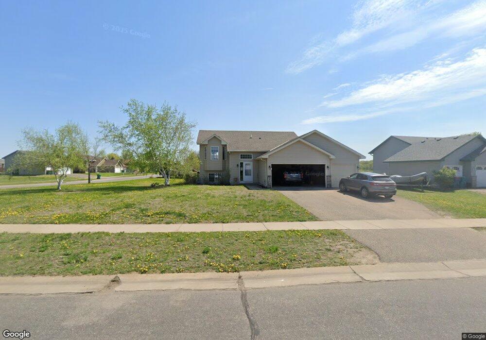
491 Karen Ln Big Lake, MN 55309
Estimated Value: $300,774 - $340,000
2
Beds
2
Baths
994
Sq Ft
$329/Sq Ft
Est. Value
About This Home
This home is located at 491 Karen Ln, Big Lake, MN 55309 and is currently estimated at $326,694, approximately $328 per square foot. 491 Karen Ln is a home located in Sherburne County with nearby schools including Liberty Elementary School, Independence Elementary School, and Big Lake Middle School.
Ownership History
Date
Name
Owned For
Owner Type
Purchase Details
Closed on
Jan 26, 2006
Sold by
Loch Michael J and Loch Melissa L
Bought by
Comprehensive Services Inc
Current Estimated Value
Purchase Details
Closed on
Jul 31, 2003
Sold by
Timber Creek Homes Inc
Bought by
Loch Michael J and Loch Melissa
Purchase Details
Closed on
Oct 16, 2002
Sold by
Heritage Developement Of Mn Inc
Bought by
Timber Creek Homes Inc
Purchase Details
Closed on
Jan 26, 2001
Sold by
Panayotoff Donna and Panayotoff Mark
Bought by
Heritage Development Of Minnesota Inc
Create a Home Valuation Report for This Property
The Home Valuation Report is an in-depth analysis detailing your home's value as well as a comparison with similar homes in the area
Home Values in the Area
Average Home Value in this Area
Purchase History
| Date | Buyer | Sale Price | Title Company |
|---|---|---|---|
| Comprehensive Services Inc | $197,500 | -- | |
| Loch Michael J | $169,900 | -- | |
| Timber Creek Homes Inc | $43,900 | -- | |
| Heritage Development Of Minnesota Inc | $118,000 | -- | |
| Heritage Development Of Minnesota | $118,000 | -- |
Source: Public Records
Tax History Compared to Growth
Tax History
| Year | Tax Paid | Tax Assessment Tax Assessment Total Assessment is a certain percentage of the fair market value that is determined by local assessors to be the total taxable value of land and additions on the property. | Land | Improvement |
|---|---|---|---|---|
| 2025 | $3,710 | $299,400 | $88,100 | $211,300 |
| 2024 | $3,674 | $297,000 | $88,100 | $208,900 |
| 2023 | $3,640 | $301,500 | $92,200 | $209,300 |
| 2022 | $3,414 | $287,300 | $78,000 | $209,300 |
| 2020 | $3,322 | $218,600 | $46,200 | $172,400 |
| 2019 | $3,124 | $209,500 | $40,800 | $168,700 |
| 2018 | $2,920 | $193,600 | $37,400 | $156,200 |
| 2017 | $2,824 | $173,000 | $32,800 | $140,200 |
| 2016 | $2,730 | $161,000 | $29,500 | $131,500 |
| 2015 | $2,508 | $156,600 | $29,500 | $127,100 |
| 2014 | $2,378 | $151,000 | $28,100 | $122,900 |
| 2013 | -- | $135,900 | $27,900 | $108,000 |
Source: Public Records
Map
Nearby Homes
- 19400 Karen Ln
- 199 Henry Rd
- 541 William St
- 23xxx 182nd St NW
- 393 Phyllis St
- 19128 Eagle Lake Rd S
- 19024 Engle Wood Dr
- 19101 Gunter Way
- 631 Norwood Ln
- 637 Norwood Ln
- 705 Independence Dr NW
- XXX 176th St NW
- 824 Independence Dr NW
- 591 Glenwood Ave
- 585 Glenwood Ave
- 18585 Arctic Ave
- TBD Highway 10 NW
- 110 Powell Cir E
- 18052 Walnut Cir
- 18012 Walnut Cir