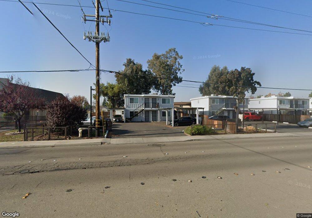
491 S Union Rd Manteca, CA 95337
Estimated Value: $539,000 - $603,000
About This Home
This home is located at 491 S Union Rd, Manteca, CA 95337 and is currently estimated at $567,667, approximately $250 per square foot. 491 S Union Rd is a home located in San Joaquin County with nearby schools including Brock Elliott Elementary School and Sierra High School.
Ownership History
We collect this data history from publicly available records. To have your information removed, we recommend requesting removal directly through your county’s website.
Purchase Details
Home Financials for this Owner
Home Financials are based on the most recent Mortgage that was taken out on this home.Purchase History
We collect this data history from publicly available records. To have your information removed, we recommend requesting removal directly through your county’s website.
| Date | Buyer | Sale Price | Title Company |
|---|---|---|---|
| $1,200,000 | Fidelity Natl Ttl Stockton | ||
| -- | Fidelity Natl Ttl Stockton |
Mortgage History
We collect this data history from publicly available records. To have your information removed, we recommend requesting removal directly through your county’s website.
| Date | Status | Borrower | Loan Amount |
|---|---|---|---|
| Open | $900,000 |
Tax History
We collect this data history from publicly available records. To have your information removed, we recommend requesting removal directly through your county’s website.
| Year | Tax Paid | Tax Assessment Tax Assessment Total Assessment is a certain percentage of the fair market value that is determined by local assessors to be the total taxable value of land and additions on the property. | Land | Improvement |
|---|---|---|---|---|
| 2025 | $4,906 | $437,454 | $98,426 | $339,028 |
| 2024 | $4,769 | $428,878 | $96,497 | $332,381 |
| 2023 | $4,711 | $420,469 | $94,605 | $325,864 |
| 2022 | $4,641 | $412,225 | $92,750 | $319,475 |
| 2021 | $4,591 | $404,143 | $90,932 | $313,211 |
| 2020 | $4,406 | $400,000 | $90,000 | $310,000 |
| 2019 | $22,530 | $154,271 | $37,552 | $116,719 |
| 2018 | $1,717 | $151,247 | $36,816 | $114,431 |
| 2017 | $1,692 | $148,283 | $36,095 | $112,188 |
| 2016 | $1,652 | $145,376 | $35,388 | $109,988 |
| 2014 | $1,531 | $140,388 | $34,173 | $106,215 |
Map
- 1264 Parkview St
- 1064 Tioga Way
- 1037 Tenaya Ct
- 800 Treasure Ln
- 1015 Tenaya Ct
- 625 Bounty Place
- 1403 Sextant Way
- 821 Nevada St
- 531 Locust Ave
- 1744 Marino Way
- 1785 Flaxen Ct
- 130 Almond Ave
- 1235 Daniels St
- 457 Avendale Dr
- 441 Avendale Dr
- 1071 Winters Dr
- 559 S Veach Ave
- 308 Ashford Ave
- 1189 Merganser Place
- 1058 Junction Dr
- 464 Lynette Place
- 468 Lynette Place
- 454 Lynette Place
- 475 S Union Rd
- 457 S Union Rd
- 438 Lynette Place
- 467 Lynette Place
- 456 Lynette Place
- 437 S Union Rd
- 455 Lynette Place
- 418 Lynette Place
- 437 Lynette Place
- 1218 Todd St
- 454 Tami Place
- 466 Tami Place
- 419 Lynette Place
- 488 S Union Rd
- 444 S Union Rd
- 1164 Marion St
- 436 Tami Place
Ask me questions while you tour the home.