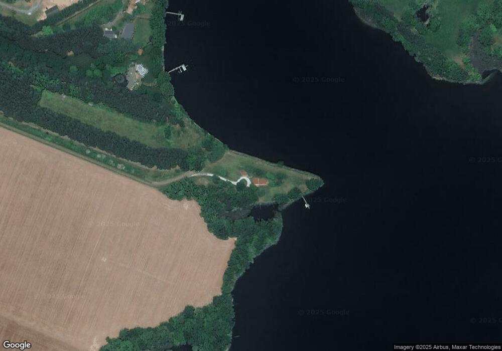
491 Wye Island Rd Queenstown, MD 21658
Estimated Value: $1,190,000 - $2,606,696
--
Bed
2
Baths
2,832
Sq Ft
$670/Sq Ft
Est. Value
About This Home
This home is located at 491 Wye Island Rd, Queenstown, MD 21658 and is currently estimated at $1,898,348, approximately $670 per square foot. 491 Wye Island Rd is a home located in Queen Anne's County with nearby schools including Centreville Elementary School, Kennard Elementary School, and Centreville Middle School.
Ownership History
Date
Name
Owned For
Owner Type
Purchase Details
Closed on
Dec 18, 2012
Sold by
Gretschel Maureen Lawyers
Bought by
Gretschel Walter Michael
Current Estimated Value
Purchase Details
Closed on
Dec 6, 2012
Sold by
Gretschel Walter Michael and Gretschel Maureen Lawyer
Bought by
Gretschel Maureen Lawyer
Purchase Details
Closed on
May 27, 1997
Sold by
Wye Island Associates
Bought by
Gretschel Walter Michael and Gretschel Maureen Lawyer,
Create a Home Valuation Report for This Property
The Home Valuation Report is an in-depth analysis detailing your home's value as well as a comparison with similar homes in the area
Home Values in the Area
Average Home Value in this Area
Purchase History
| Date | Buyer | Sale Price | Title Company |
|---|---|---|---|
| Gretschel Walter Michael | -- | None Available | |
| Gretschel Maureen Lawyer | -- | None Available | |
| Gretschel Walter Michael | $365,000 | -- |
Source: Public Records
Tax History Compared to Growth
Tax History
| Year | Tax Paid | Tax Assessment Tax Assessment Total Assessment is a certain percentage of the fair market value that is determined by local assessors to be the total taxable value of land and additions on the property. | Land | Improvement |
|---|---|---|---|---|
| 2025 | $17,580 | $1,853,533 | $0 | $0 |
| 2024 | $17,342 | $1,828,200 | $1,183,000 | $645,200 |
| 2023 | $17,208 | $1,814,033 | $0 | $0 |
| 2022 | $17,075 | $1,799,867 | $0 | $0 |
| 2021 | $17,247 | $1,785,700 | $1,165,000 | $620,700 |
| 2020 | $17,247 | $1,785,700 | $1,165,000 | $620,700 |
| 2019 | $17,247 | $1,785,700 | $1,165,000 | $620,700 |
| 2018 | $18,413 | $1,907,300 | $1,327,500 | $579,800 |
| 2017 | $18,413 | $1,907,300 | $0 | $0 |
| 2016 | -- | $1,907,300 | $0 | $0 |
| 2015 | $23,433 | $1,907,500 | $0 | $0 |
| 2014 | $23,433 | $1,907,500 | $0 | $0 |
Source: Public Records
Map
Nearby Homes
- 11977 Billys Point Ln
- 1150 Cheston Ln
- 26546 Presquile Dr N
- 618 Pigpen Point Rd
- 405 Cove Rd
- 100 Marlborough Rd
- 2006 Bennett Point Rd
- 11470 Wye Heights Rd
- 13473 Blackberry Ln
- 13474 Rustling Oaks Dr
- 13543 Rustling Oaks Dr
- 27772 Sharp Rd
- 12654 Ocean Gateway
- 144 River Run
- 13433 13433 Ocean Gateway
- 4 Bunker Ct
- 115 Masters Way
- 4 Fairway Island
- 11340 Longwoods Rd
- 16 Fairway Island
- 465 Wye Island Rd
- 455 Wye Island Rd
- 0 Wye Neck Rd Unit MDQA2000320
- 0 Wye Island Rd Unit 1007149556
- 0 Wye Island Rd Unit QA8600915
- 425 Wye Island Rd
- 115 Wye Hall Dr
- 200 Houghton House Cir
- 2012 Carmichael Rd
- 110 Wye Hall Dr
- 300 Wye Island Rd
- 167 Wye End Rd
- 400 Wye Narrows Dr
- 5 Wye Island Rd
- 501 Wye Narrows Dr
- 505 Wye Hall Dr
- 600 Aspen Dr
- 360 Wye Narrows Dr
- 27852 Wye Cottage Ln
- 565 Aspen Dr