4910 Bentbrook Dr Manlius, NY 13104
Estimated Value: $568,000 - $613,000
4
Beds
3
Baths
2,968
Sq Ft
$200/Sq Ft
Est. Value
About This Home
This home is located at 4910 Bentbrook Dr, Manlius, NY 13104 and is currently estimated at $592,376, approximately $199 per square foot. 4910 Bentbrook Dr is a home located in Onondaga County with nearby schools including Enders Road Elementary School, Eagle Hill Middle School, and Immaculate Conception School.
Ownership History
Date
Name
Owned For
Owner Type
Purchase Details
Closed on
Jan 12, 2022
Sold by
Brown Len M and Brown Alyssa C
Bought by
Brown Len M
Current Estimated Value
Purchase Details
Closed on
Jun 29, 2000
Sold by
Curran Joel P and Curran Sharon E
Bought by
Brown Len M and Brown Alyssa C
Purchase Details
Closed on
Nov 22, 1995
Sold by
Mcniff Edward F Mcniff Barbara
Bought by
Curran John P and Curran Sharon E
Create a Home Valuation Report for This Property
The Home Valuation Report is an in-depth analysis detailing your home's value as well as a comparison with similar homes in the area
Home Values in the Area
Average Home Value in this Area
Purchase History
| Date | Buyer | Sale Price | Title Company |
|---|---|---|---|
| Brown Len M | -- | None Available | |
| Brown Len M | -- | None Available | |
| Brown Len M | $250,000 | Andrew S Kownlezy Iii | |
| Curran John P | $220,000 | -- |
Source: Public Records
Tax History
| Year | Tax Paid | Tax Assessment Tax Assessment Total Assessment is a certain percentage of the fair market value that is determined by local assessors to be the total taxable value of land and additions on the property. | Land | Improvement |
|---|---|---|---|---|
| 2024 | $15,808 | $498,800 | $124,500 | $374,300 |
| 2023 | $14,700 | $432,500 | $108,000 | $324,500 |
| 2022 | $13,273 | $359,000 | $91,400 | $267,600 |
| 2021 | $13,013 | $316,300 | $87,900 | $228,400 |
| 2020 | $12,557 | $307,100 | $53,700 | $253,400 |
| 2019 | $4,241 | $307,100 | $53,700 | $253,400 |
| 2018 | $12,170 | $295,300 | $53,700 | $241,600 |
| 2017 | $4,192 | $295,300 | $53,700 | $241,600 |
| 2016 | $11,368 | $295,300 | $53,700 | $241,600 |
| 2015 | -- | $295,300 | $53,700 | $241,600 |
| 2014 | -- | $289,500 | $53,700 | $235,800 |
Source: Public Records
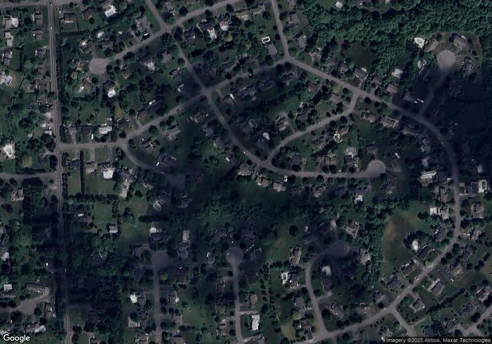
Map
Nearby Homes
- 4881 Bentbrook Dr
- 8205 Duvall Cir
- 8190 Old Sunridge Dr
- 8150 Old Sunridge Dr
- 4878 Penny Ln
- Lot 1 the Reserve @ Bishop Brook
- 128 Crane Landing
- 8420 Hobnail Rd
- Lot 238 Muscovy Ln
- 4555 LOT 2B Pompey Center Rd
- 4555- LOT 2A Pompey Center Rd
- 167 Edwards Falls Ln
- 4576 Whetstone Rd
- 7103 Kittiwake Run Unit 1
- 7101 Kittiwake Run
- LOT # 2 Harrington Terrace
- 7127 Kittiwake Run Lot 457
- 8391 Cazenovia Rd
- 4630 Pauli Dr
- 4638 Lot 5 Pauli Dr
- 4914 Bentbrook Dr
- 4906 Bentbrook Dr
- 8291 Odyssey Dr
- 4918 Bentbrook Dr
- 4902 Bentbrook Dr
- 8279 Thimblerock Cir
- 4897 Bentbrook Dr
- 4922 Bentbrook Dr
- 8295 Odyssey Dr
- 4898 Bentbrook Dr
- 4764 Lythim Cir
- 8282 Thimblerock Cir
- 4926 Bentbrook Dr
- 8271 Thimblerock Cir
- 8280 Iliad Dr
- 4765 Lythim Cir
- 8294 Odyssey Dr
- 8270 Iliad Dr
- 8299 Odyssey Dr
- 4894 Bentbrook Dr
Your Personal Tour Guide
Ask me questions while you tour the home.