4910 Brannan Dr E Springfield, OH 45502
Estimated Value: $180,908 - $191,000
2
Beds
2
Baths
1,252
Sq Ft
$149/Sq Ft
Est. Value
About This Home
This home is located at 4910 Brannan Dr E, Springfield, OH 45502 and is currently estimated at $185,977, approximately $148 per square foot. 4910 Brannan Dr E is a home located in Clark County with nearby schools including Rolling Hills Elementary School, Northridge Middle School, and Kenton Ridge Middle & High School.
Ownership History
Date
Name
Owned For
Owner Type
Purchase Details
Closed on
Sep 9, 2015
Sold by
Sidner Paul M and Sidner Donna J
Bought by
Hatfield Linda S
Current Estimated Value
Purchase Details
Closed on
Oct 22, 2012
Sold by
Rapp Robert E and Rapp Alberta L
Bought by
Sidner Paul M and Sidner Donna J
Home Financials for this Owner
Home Financials are based on the most recent Mortgage that was taken out on this home.
Original Mortgage
$65,520
Interest Rate
3.55%
Mortgage Type
New Conventional
Purchase Details
Closed on
Nov 7, 2003
Sold by
King Harold L and King Barbara M
Bought by
Rapp Robert E and Rapp Alberta I
Home Financials for this Owner
Home Financials are based on the most recent Mortgage that was taken out on this home.
Original Mortgage
$20,000
Interest Rate
5.81%
Mortgage Type
Purchase Money Mortgage
Purchase Details
Closed on
Jul 21, 1997
Sold by
Susan K Apple
Bought by
Ronald Dilts
Create a Home Valuation Report for This Property
The Home Valuation Report is an in-depth analysis detailing your home's value as well as a comparison with similar homes in the area
Home Values in the Area
Average Home Value in this Area
Purchase History
| Date | Buyer | Sale Price | Title Company |
|---|---|---|---|
| Hatfield Linda S | $92,000 | Team Title & Closing Svcs Ll | |
| Sidner Paul M | $81,900 | None Available | |
| Rapp Robert E | $93,000 | -- | |
| Ronald Dilts | $83,000 | -- |
Source: Public Records
Mortgage History
| Date | Status | Borrower | Loan Amount |
|---|---|---|---|
| Previous Owner | Sidner Paul M | $65,520 | |
| Previous Owner | Rapp Robert E | $20,000 |
Source: Public Records
Tax History Compared to Growth
Tax History
| Year | Tax Paid | Tax Assessment Tax Assessment Total Assessment is a certain percentage of the fair market value that is determined by local assessors to be the total taxable value of land and additions on the property. | Land | Improvement |
|---|---|---|---|---|
| 2024 | $1,008 | $33,000 | $6,130 | $26,870 |
| 2023 | $1,008 | $33,000 | $6,130 | $26,870 |
| 2022 | $1,029 | $33,000 | $6,130 | $26,870 |
| 2021 | $1,144 | $31,540 | $4,380 | $27,160 |
| 2020 | $1,145 | $31,540 | $4,380 | $27,160 |
| 2019 | $1,166 | $31,540 | $4,380 | $27,160 |
| 2018 | $1,036 | $28,180 | $4,990 | $23,190 |
| 2017 | $1,287 | $26,643 | $4,988 | $21,655 |
| 2016 | $1,278 | $26,643 | $4,988 | $21,655 |
| 2015 | $820 | $26,905 | $5,250 | $21,655 |
| 2014 | $820 | $26,905 | $5,250 | $21,655 |
| 2013 | $801 | $26,905 | $5,250 | $21,655 |
Source: Public Records
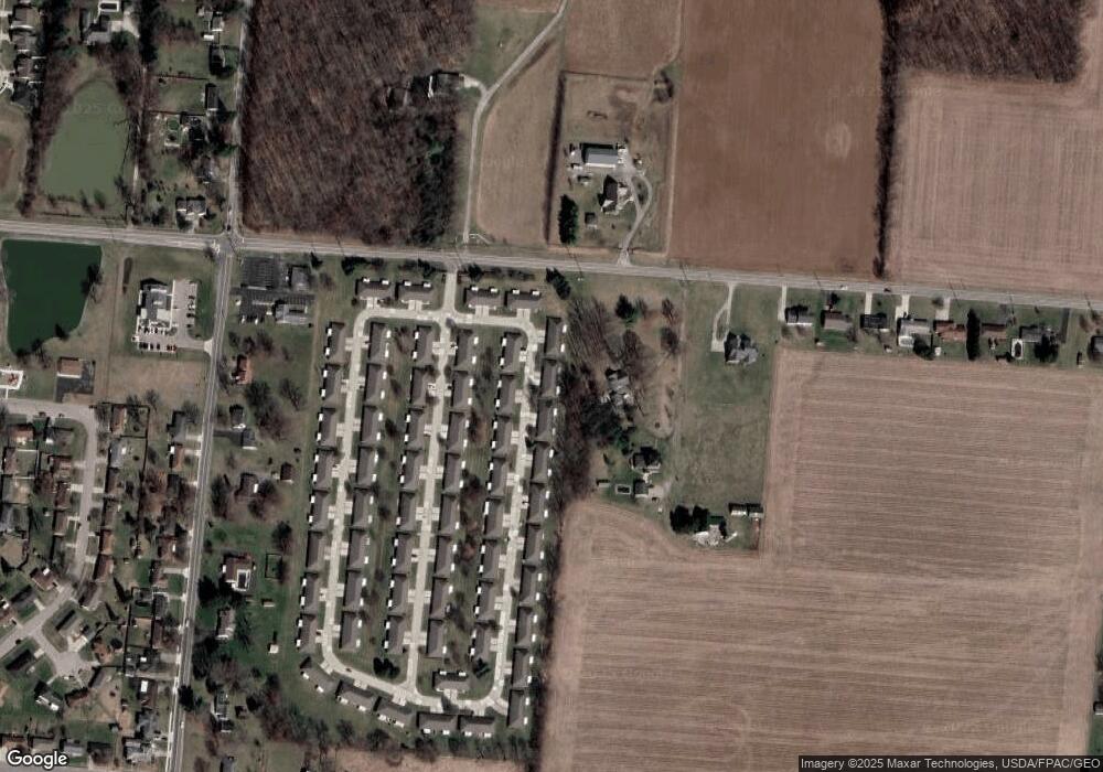
Map
Nearby Homes
- 4924 Brannan Dr E Unit 4924
- 4849 Ashley Dr
- 4644 Middle Urbana Rd
- 4800 Mesa Ln
- 4620 Eldora Dr
- 4620 Eldora St
- 1709 Thomas Dr
- 4740 Merrimont Ave
- 4825 Chippendale Dr
- 1835 Sierra Ave
- 5220 Ridgewood Rd E
- 4524 Ridgewood Rd E
- 4316 Phoenix Dr
- 4512 Ridgewood Rd E
- 4321 Tulane Rd
- 5127 Stoneridge Dr
- 4438 Tacoma St
- 4249 Reno Rd
- 4910 Brannan Dr E Unit 4910
- 4912 Brannan Dr E Unit 4912
- 4900 Brannan Dr E
- 4899 Brannan Dr E
- 4922 Brannan Dr E
- 4898 Brannan Dr E
- 4897 Brannan Dr E
- 4909 Brannan Dr E Unit 4909
- 4911 Brannan Dr E Unit 4911
- 4887 Brannan Dr E Unit 4887
- 4887 Brannan Dr E
- 4888 Brannan Dr E
- 4888 Brannan Dr E
- 2211 Moorefield Rd
- 4885 Brannan Dr E Unit 4885
- 4886 Brannan Dr E Unit 4886
- 4886 Brannan Dr W
- 4934 Brannan Dr E Unit 4934
- 4908 Auston St Unit 4908
- 4906 Auston St