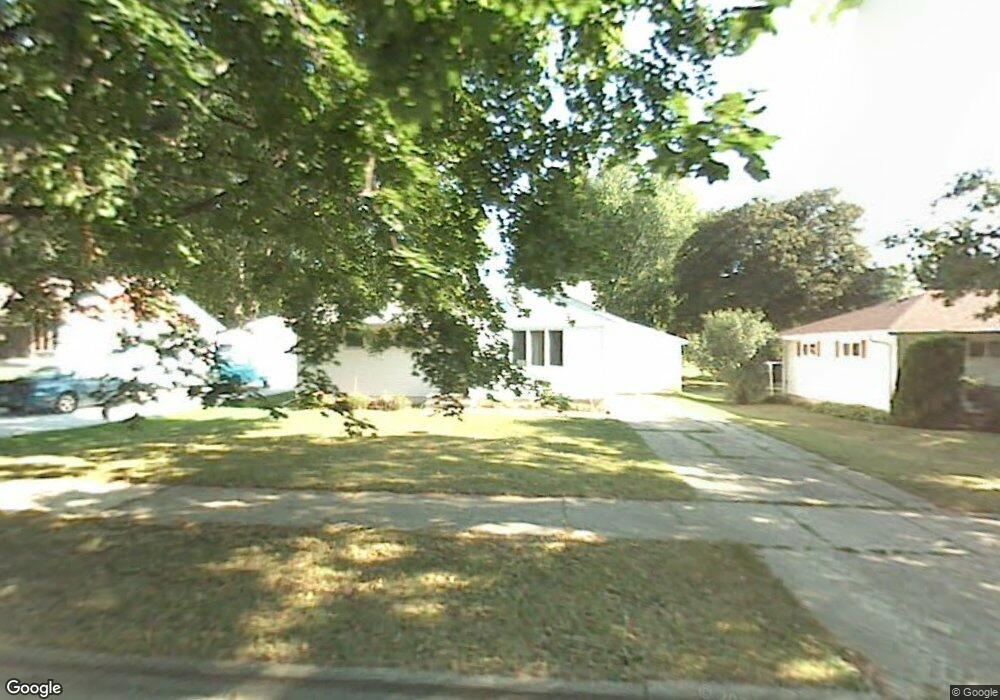
4910 Paul Ave Madison, WI 53711
Orchard Ridge NeighborhoodEstimated Value: $388,659 - $421,000
2
Beds
2
Baths
1,312
Sq Ft
$312/Sq Ft
Est. Value
About This Home
This home is located at 4910 Paul Ave, Madison, WI 53711 and is currently estimated at $409,915, approximately $312 per square foot. 4910 Paul Ave is a home located in Dane County with nearby schools including Orchard Ridge Elementary School, Toki Middle School, and Vel Phillips Memorial High School.
Ownership History
Date
Name
Owned For
Owner Type
Purchase Details
Closed on
May 1, 2008
Sold by
Weber Stephen C and Miller Nora K
Bought by
Miller Nora K
Current Estimated Value
Home Financials for this Owner
Home Financials are based on the most recent Mortgage that was taken out on this home.
Original Mortgage
$118,300
Outstanding Balance
$55,784
Interest Rate
6.15%
Mortgage Type
New Conventional
Estimated Equity
$354,131
Purchase Details
Closed on
Jan 14, 2005
Sold by
Weber Stephen C
Bought by
Weber Noara K
Create a Home Valuation Report for This Property
The Home Valuation Report is an in-depth analysis detailing your home's value as well as a comparison with similar homes in the area
Home Values in the Area
Average Home Value in this Area
Purchase History
| Date | Buyer | Sale Price | Title Company |
|---|---|---|---|
| Miller Nora K | -- | None Available | |
| Weber Noara K | -- | None Available |
Source: Public Records
Mortgage History
| Date | Status | Borrower | Loan Amount |
|---|---|---|---|
| Open | Miller Nora K | $118,300 |
Source: Public Records
Tax History Compared to Growth
Tax History
| Year | Tax Paid | Tax Assessment Tax Assessment Total Assessment is a certain percentage of the fair market value that is determined by local assessors to be the total taxable value of land and additions on the property. | Land | Improvement |
|---|---|---|---|---|
| 2024 | $12,105 | $361,800 | $104,500 | $257,300 |
| 2023 | $5,707 | $335,000 | $96,800 | $238,200 |
| 2021 | $5,154 | $257,800 | $74,500 | $183,300 |
| 2020 | $5,270 | $246,700 | $71,300 | $175,400 |
| 2019 | $4,904 | $230,600 | $66,600 | $164,000 |
| 2018 | $4,500 | $211,600 | $61,100 | $150,500 |
| 2017 | $4,530 | $203,500 | $61,100 | $142,400 |
| 2016 | $4,205 | $185,000 | $55,500 | $129,500 |
| 2015 | $4,151 | $173,000 | $53,400 | $119,600 |
| 2014 | $3,982 | $173,000 | $53,400 | $119,600 |
| 2013 | $3,984 | $168,000 | $51,800 | $116,200 |
Source: Public Records
Map
Nearby Homes
- 1417 Reetz Rd
- 4922 Knox Ln
- 1718 Reetz Rd
- 5201 Hammersley Rd
- 2018 Helene Pkwy
- 4301 Nakoma Rd
- 4610 Jenewein Rd
- 2201 Tawhee Dr
- 5517 Dorsett Dr
- 2329 Carling Dr Unit 3
- 2333 Carling Dr Unit 3
- 4321 Crawford Dr
- 2218 Teal Dr
- 5021 Odana Rd
- 2118 Gilbert Rd
- 5701 Bartlett Ln
- 915 Waban Hill
- 4211 Wanetah Trail
- 4206 Manitou Way
- 765 Odana Ln