Estimated Value: $200,000 - $225,000
3
Beds
2
Baths
1,366
Sq Ft
$155/Sq Ft
Est. Value
About This Home
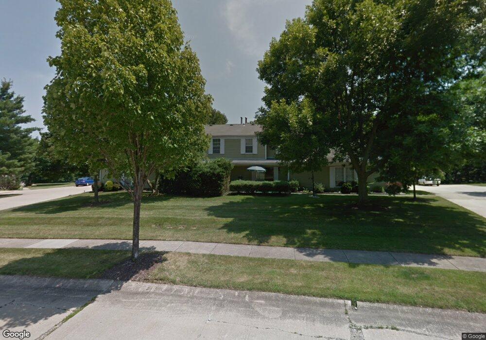
This home is located at 4913 Independence Cir, Stow, OH 44224 and is currently estimated at $211,916, approximately $155 per square foot. 4913 Independence Cir is a home located in Summit County with nearby schools including Stow-Munroe Falls High School, Primrose School of Hudson, and Holy Family Elementary School.
Ownership History
Date
Name
Owned For
Owner Type
Purchase Details
Closed on
Jun 3, 2025
Sold by
Bicknell Robert and Malin-Bicknell Kelly
Bought by
Breznai Brenda E
Current Estimated Value
Purchase Details
Closed on
Mar 10, 2022
Sold by
Boston Allison A
Bought by
Bicknell Robert and Malin-Bicknell Kelly
Purchase Details
Closed on
Mar 9, 2022
Sold by
Boston Allison A
Bought by
Bicknell Robert and Malin-Bicknell Kelly
Purchase Details
Closed on
Aug 24, 2021
Sold by
Fanelly Richard M and Fanelly Kay Lynn
Bought by
Boston Allison A
Create a Home Valuation Report for This Property
The Home Valuation Report is an in-depth analysis detailing your home's value as well as a comparison with similar homes in the area
Home Values in the Area
Average Home Value in this Area
Purchase History
| Date | Buyer | Sale Price | Title Company |
|---|---|---|---|
| Breznai Brenda E | $216,100 | None Listed On Document | |
| Bicknell Robert | $165,500 | Infinity Title | |
| Bicknell Robert | $165,500 | Infinity Title | |
| Bicknell Robert | $165,500 | Infinity Title | |
| Boston Allison A | $145,000 | Infinity Title |
Source: Public Records
Tax History
| Year | Tax Paid | Tax Assessment Tax Assessment Total Assessment is a certain percentage of the fair market value that is determined by local assessors to be the total taxable value of land and additions on the property. | Land | Improvement |
|---|---|---|---|---|
| 2025 | $3,023 | $50,166 | $5,075 | $45,091 |
| 2024 | $3,023 | $50,166 | $5,075 | $45,091 |
| 2023 | $3,023 | $50,166 | $5,075 | $45,091 |
| 2022 | $2,424 | $36,621 | $3,707 | $32,914 |
| 2021 | $2,179 | $36,621 | $3,707 | $32,914 |
| 2020 | $2,143 | $36,620 | $3,710 | $32,910 |
| 2019 | $1,706 | $27,060 | $3,670 | $23,390 |
| 2018 | $1,680 | $27,060 | $3,610 | $23,450 |
| 2017 | $971 | $27,060 | $3,610 | $23,450 |
| 2016 | $998 | $23,950 | $3,610 | $20,340 |
| 2015 | $971 | $23,950 | $3,610 | $20,340 |
| 2014 | $972 | $23,950 | $3,610 | $20,340 |
| 2013 | $1,300 | $29,560 | $3,610 | $25,950 |
Source: Public Records
Map
Nearby Homes
- 4534 Foresthill Rd
- 4909 Fishcreek Rd
- 4556 Fishcreek Rd
- 4544 Fishcreek Rd
- 2221 Crockett Cir
- 2908 Wexford Blvd
- 2365 Norman Dr
- 4205 Osage St
- 4424 Timberdale Dr Unit 4428
- 2352 Becket Cir
- 2279 Becket Cir
- 4138 Genevieve Blvd
- 0 Pardee Rd
- 5163 Beckett Ridge
- 5361 Diana Lynn Dr
- 2072 White Oak Dr Unit 2076
- 4040 Burton Dr
- 5518 Pond Ct
- 4623 Cox Dr
- 4003 Kenneth Rd
- 4913 Independence Cir
- 4913 Independence Cir
- 4913 Independence Cir
- 4913 Independence Cir Unit D
- 4913 Independence Cir Unit B
- 4913 Independence Cir Unit A
- 4911 Independence Cir
- 4911 Independence Cir Unit 19C
- 4911 Independence Cir
- 4911 Independence Cir Unit 19D
- 4911 Independence Cir Unit C
- 4911 Independence Cir Unit D
- 4911 Independence Cir Unit B
- 4911 Independence Cir Unit A
- 4915 Independence Cir
- 4915 Independence Cir Unit 17B
- 4915 Independence Cir
- 4915 Independence Cir Unit 17A
- 4915 Independence Cir Unit D
- 4915 Independence Cir Unit B
Your Personal Tour Guide
Ask me questions while you tour the home.