Estimated Value: $168,000 - $183,000
3
Beds
2
Baths
1,366
Sq Ft
$130/Sq Ft
Est. Value
About This Home
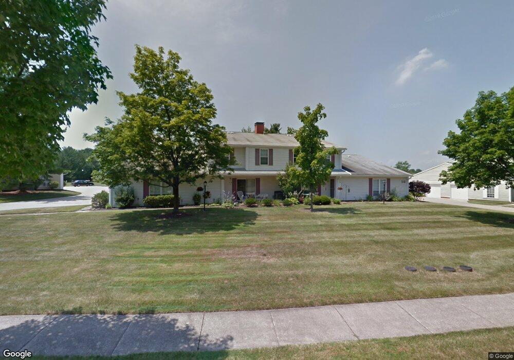
This home is located at 4914 Independence Cir Unit 32C, Stow, OH 44224 and is currently estimated at $177,188, approximately $129 per square foot. 4914 Independence Cir Unit 32C is a home located in Summit County with nearby schools including Stow-Munroe Falls High School, Primrose School of Hudson, and Holy Family Elementary School.
Ownership History
Date
Name
Owned For
Owner Type
Purchase Details
Closed on
May 24, 2021
Sold by
Sloan Mikel L
Bought by
Haake Shiirley K and Shirley Haake Trust
Current Estimated Value
Purchase Details
Closed on
Feb 17, 2005
Sold by
Sullivan Nadine H
Bought by
Sloan Mikel L
Home Financials for this Owner
Home Financials are based on the most recent Mortgage that was taken out on this home.
Original Mortgage
$76,000
Interest Rate
5.78%
Mortgage Type
Unknown
Create a Home Valuation Report for This Property
The Home Valuation Report is an in-depth analysis detailing your home's value as well as a comparison with similar homes in the area
Home Values in the Area
Average Home Value in this Area
Purchase History
| Date | Buyer | Sale Price | Title Company |
|---|---|---|---|
| Haake Shiirley K | $115,000 | Kingdom Title | |
| Sloan Mikel L | $95,000 | Chicago Title Insurance Comp |
Source: Public Records
Mortgage History
| Date | Status | Borrower | Loan Amount |
|---|---|---|---|
| Previous Owner | Sloan Mikel L | $76,000 | |
| Closed | Sloan Mikel L | $14,250 |
Source: Public Records
Tax History
| Year | Tax Paid | Tax Assessment Tax Assessment Total Assessment is a certain percentage of the fair market value that is determined by local assessors to be the total taxable value of land and additions on the property. | Land | Improvement |
|---|---|---|---|---|
| 2024 | $2,855 | $50,166 | $5,075 | $45,091 |
| 2023 | $2,855 | $50,166 | $5,075 | $45,091 |
| 2022 | $2,368 | $36,621 | $3,707 | $32,914 |
| 2021 | $2,124 | $36,621 | $3,707 | $32,914 |
| 2020 | $2,088 | $36,620 | $3,710 | $32,910 |
| 2019 | $1,663 | $27,060 | $3,670 | $23,390 |
| 2018 | $1,636 | $27,060 | $3,610 | $23,450 |
| 2017 | $1,495 | $27,060 | $3,610 | $23,450 |
| 2016 | $1,538 | $23,950 | $3,610 | $20,340 |
| 2015 | $1,495 | $23,950 | $3,610 | $20,340 |
| 2014 | $1,496 | $23,950 | $3,610 | $20,340 |
| 2013 | $1,604 | $25,920 | $3,610 | $22,310 |
Source: Public Records
Map
Nearby Homes
- 4916 Friar Rd Unit B
- 4909 Fishcreek Rd
- 4399-4403 Cherryhurst Dr
- 4556 Fishcreek Rd
- 2221 Crockett Cir
- 2188 Duxbury
- 2908 Wexford Blvd
- 2365 Norman Dr
- 4155 Burton Dr
- 4424 Timberdale Dr Unit 4428
- 2279 Becket Cir
- 4138 Genevieve Blvd
- 2072 White Oak Dr Unit 2076
- 5361 Diana Lynn Dr
- 0 Pardee Rd
- 4078 Pardee Rd
- 4040 Burton Dr
- 4623 Cox Dr
- 4704 Red Willow Rd
- 76 Wanda Ct
- 4914 Independence Cir
- 4914 Independence Cir
- 4914 Independence Cir Unit 32B
- 4914 Independence Cir Unit A
- 4914 Independence Cir Unit B
- 4914 Independence Cir Unit C
- 4910 Independence Cir Unit 33A
- 4910 Independence Cir Unit 33B
- 4910 Independence Cir
- 4910 Independence Cir Unit 33D
- 4910 Independence Cir Unit B
- 4910 Independence Cir Unit A
- 4918 Independence Cir
- 4918 Independence Cir Unit 31B
- 4918 Independence Cir Unit 31A
- 4918 Independence Cir
- 4918 Independence Cir Unit A
- 4918 Independence Cir Unit B
- 4918 Independence Cir Unit D
- 4915 Independence Cir
Your Personal Tour Guide
Ask me questions while you tour the home.