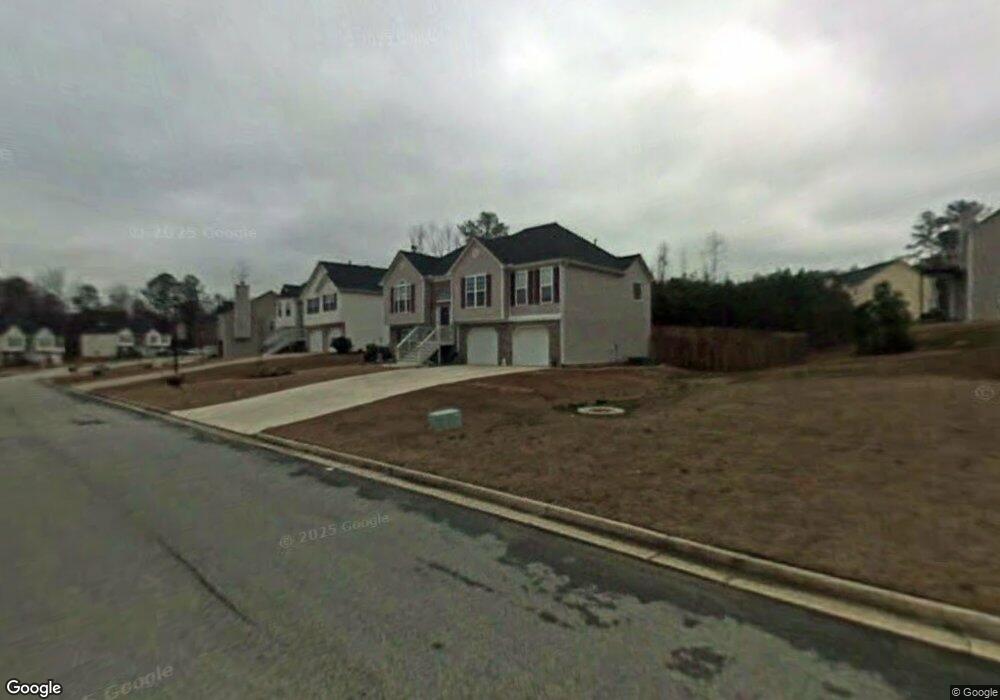
4915 Wynford Ln Unit 1 Douglasville, GA 30134
Estimated Value: $268,000 - $338,000
4
Beds
3
Baths
1,584
Sq Ft
$186/Sq Ft
Est. Value
About This Home
This home is located at 4915 Wynford Ln Unit 1, Douglasville, GA 30134 and is currently estimated at $295,226, approximately $186 per square foot. 4915 Wynford Ln Unit 1 is a home located in Douglas County with nearby schools including Eastside Elementary School, Stewart Middle School, and Douglas County High School.
Ownership History
Date
Name
Owned For
Owner Type
Purchase Details
Closed on
Jul 30, 2004
Sold by
Southern Homes Of Ga Inc
Bought by
Gibson Lalinda
Current Estimated Value
Home Financials for this Owner
Home Financials are based on the most recent Mortgage that was taken out on this home.
Original Mortgage
$165,768
Interest Rate
5.73%
Mortgage Type
VA
Create a Home Valuation Report for This Property
The Home Valuation Report is an in-depth analysis detailing your home's value as well as a comparison with similar homes in the area
Home Values in the Area
Average Home Value in this Area
Purchase History
| Date | Buyer | Sale Price | Title Company |
|---|---|---|---|
| Gibson Lalinda | $162,200 | -- |
Source: Public Records
Mortgage History
| Date | Status | Borrower | Loan Amount |
|---|---|---|---|
| Previous Owner | Gibson Lalinda | $165,768 |
Source: Public Records
Tax History Compared to Growth
Tax History
| Year | Tax Paid | Tax Assessment Tax Assessment Total Assessment is a certain percentage of the fair market value that is determined by local assessors to be the total taxable value of land and additions on the property. | Land | Improvement |
|---|---|---|---|---|
| 2024 | $65 | $93,840 | $12,800 | $81,040 |
| 2023 | $65 | $93,825 | $12,800 | $81,025 |
| 2022 | $65 | $93,400 | $12,800 | $80,600 |
| 2021 | $65 | $70,680 | $11,760 | $58,920 |
| 2020 | $56 | $70,680 | $11,760 | $58,920 |
| 2019 | $56 | $68,960 | $11,760 | $57,200 |
| 2018 | $56 | $58,080 | $10,240 | $47,840 |
| 2017 | $56 | $52,360 | $10,240 | $42,120 |
| 2016 | $56 | $50,840 | $10,240 | $40,600 |
| 2015 | $56 | $49,440 | $10,240 | $39,200 |
| 2014 | $56 | $46,600 | $10,240 | $36,360 |
| 2013 | -- | $46,520 | $10,240 | $36,280 |
Source: Public Records
Map
Nearby Homes
- 7687 Greenridge Ct
- 6215 Grovener Ave
- 7712 Autry Cir Unit 617
- 7712 Autry Cir Unit 701
- 7712 Autry Cir Unit 7-721
- 7712 Autry Cir Unit 305
- 7835 Teton Trail Unit 1
- 6588 Snowbird Ln Unit 1
- 1121 Grove Trail Pass
- 0 Mcintosh Rd Unit 7605889
- 7420 Bristol Cir
- 8053 Duralee Ln
- 6292 Hampstead Ln
- 6592 Malone Rd
- 6298 Hampstead Ln
- 8090 Colquitt St
- 6155 Cooper St
- 8113 Fieldstream Way
- 4905 Wynford Ln
- 4925 Wynford Ln Unit 1
- 4925 Wynford Ln
- 0 Wynford Ln Unit 7066945
- 0 Wynford Ln Unit 3219703
- 0 Wynford Ln Unit 8195868
- 0 Wynford Ln Unit 7618131
- 0 Wynford Ln Unit 8268132
- 0 Wynford Ln Unit 8020731
- 0 Wynford Ln Unit 3278609
- 0 Wynford Ln Unit 7008626
- 1460 Wynsong Ct
- 4885 Wynford Ln
- 1470 Wynsong Ct Unit 26
- 1470 Wynsong Ct
- 4865 Wynford Ln Unit 1
- 4910 Wynford Ln
- 4920 Wynford Ln Unit 1
- 1455 Wynsong Ct Unit 1
- 4900 Wynford Ln Unit 1