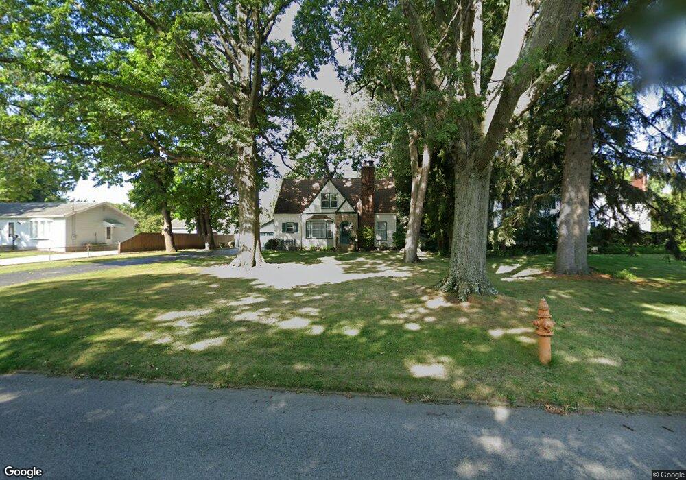
4916 Simon Rd Youngstown, OH 44512
Estimated Value: $169,000 - $193,000
3
Beds
2
Baths
1,808
Sq Ft
$101/Sq Ft
Est. Value
About This Home
This home is located at 4916 Simon Rd, Youngstown, OH 44512 and is currently estimated at $183,366, approximately $101 per square foot. 4916 Simon Rd is a home located in Mahoning County with nearby schools including Robinwood Lane Elementary School, Boardman Glenwood Junior High School, and Boardman High School.
Ownership History
Date
Name
Owned For
Owner Type
Purchase Details
Closed on
Sep 10, 2001
Sold by
Lape Robt J
Bought by
Carr Ronald M and Carr Carol M
Current Estimated Value
Home Financials for this Owner
Home Financials are based on the most recent Mortgage that was taken out on this home.
Original Mortgage
$70,000
Interest Rate
6.57%
Purchase Details
Closed on
Nov 8, 1983
Bought by
Lape Robt J and Lape Loretta
Create a Home Valuation Report for This Property
The Home Valuation Report is an in-depth analysis detailing your home's value as well as a comparison with similar homes in the area
Home Values in the Area
Average Home Value in this Area
Purchase History
| Date | Buyer | Sale Price | Title Company |
|---|---|---|---|
| Carr Ronald M | $96,000 | -- | |
| Lape Robt J | -- | -- |
Source: Public Records
Mortgage History
| Date | Status | Borrower | Loan Amount |
|---|---|---|---|
| Closed | Carr Ronald M | $70,000 |
Source: Public Records
Tax History
| Year | Tax Paid | Tax Assessment Tax Assessment Total Assessment is a certain percentage of the fair market value that is determined by local assessors to be the total taxable value of land and additions on the property. | Land | Improvement |
|---|---|---|---|---|
| 2025 | $2,518 | $50,360 | $7,370 | $42,990 |
| 2024 | $2,576 | $50,360 | $7,370 | $42,990 |
| 2023 | $2,542 | $50,360 | $7,370 | $42,990 |
| 2022 | $1,941 | $29,220 | $7,180 | $22,040 |
| 2021 | $1,942 | $29,220 | $7,180 | $22,040 |
| 2020 | $1,952 | $29,220 | $7,180 | $22,040 |
| 2019 | $1,817 | $23,760 | $5,840 | $17,920 |
| 2018 | $1,547 | $23,760 | $5,840 | $17,920 |
| 2017 | $1,525 | $23,760 | $5,840 | $17,920 |
| 2016 | $1,790 | $27,680 | $6,520 | $21,160 |
| 2015 | $1,754 | $27,680 | $6,520 | $21,160 |
| 2014 | $1,759 | $27,680 | $6,520 | $21,160 |
| 2013 | $1,737 | $27,680 | $6,520 | $21,160 |
Source: Public Records
Map
Nearby Homes
- 4629 Yarmouth Ln
- 0 Cranberry Ln Unit 5170595
- 0 Indianola Rd
- 850 Afton Ave
- 368 Erskine Ave
- 4212 South Ave
- 895 Cook Ave
- 1514 Thalia Ave
- 189 Beechwood Dr
- 190 Melrose Ave
- 4206 Rush Blvd
- 4038 Sunset Blvd
- 1737 Halbert Dr
- 1750 Halbert Dr
- 321 Meadowbrook Ave Unit 323
- 390 Ridgefield Ave
- 0 Lemoyne Ave
- 1513 Wakefield Ave
- 162 Erskine Ave
- 196 Maywood Dr
Your Personal Tour Guide
Ask me questions while you tour the home.