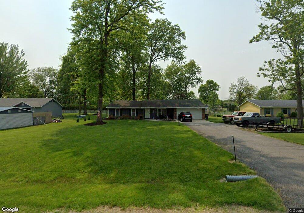
4919 Wheatridge Rd Fort Wayne, IN 46835
Northeast Fort Wayne NeighborhoodEstimated Value: $210,000 - $239,000
3
Beds
2
Baths
1,229
Sq Ft
$183/Sq Ft
Est. Value
About This Home
This home is located at 4919 Wheatridge Rd, Fort Wayne, IN 46835 and is currently estimated at $225,204, approximately $183 per square foot. 4919 Wheatridge Rd is a home located in Allen County with nearby schools including Arlington Elementary School, Jefferson Middle School, and Northrop High School.
Ownership History
Date
Name
Owned For
Owner Type
Purchase Details
Closed on
Jan 26, 2018
Sold by
Estate Blackman
Bought by
Phillip
Current Estimated Value
Home Financials for this Owner
Home Financials are based on the most recent Mortgage that was taken out on this home.
Original Mortgage
$101,134
Outstanding Balance
$84,724
Interest Rate
3.75%
Mortgage Type
FHA
Estimated Equity
$140,480
Create a Home Valuation Report for This Property
The Home Valuation Report is an in-depth analysis detailing your home's value as well as a comparison with similar homes in the area
Home Values in the Area
Average Home Value in this Area
Purchase History
| Date | Buyer | Sale Price | Title Company |
|---|---|---|---|
| Phillip | $103,000 | -- | |
| Sordelet Phillip D | $103,000 | Metropolitan Title Of In |
Source: Public Records
Mortgage History
| Date | Status | Borrower | Loan Amount |
|---|---|---|---|
| Open | Sordelet Phillip D | $101,134 |
Source: Public Records
Tax History Compared to Growth
Tax History
| Year | Tax Paid | Tax Assessment Tax Assessment Total Assessment is a certain percentage of the fair market value that is determined by local assessors to be the total taxable value of land and additions on the property. | Land | Improvement |
|---|---|---|---|---|
| 2024 | $1,959 | $177,300 | $35,300 | $142,000 |
| 2022 | $1,771 | $159,400 | $26,500 | $132,900 |
| 2021 | $1,468 | $133,700 | $26,500 | $107,200 |
| 2020 | $1,286 | $121,200 | $26,500 | $94,700 |
| 2019 | $1,236 | $115,900 | $26,500 | $89,400 |
| 2018 | $1,237 | $115,000 | $26,500 | $88,500 |
| 2017 | $1,397 | $104,000 | $26,500 | $77,500 |
| 2016 | $978 | $102,500 | $26,500 | $76,000 |
| 2014 | $786 | $90,000 | $26,500 | $63,500 |
| 2013 | $875 | $95,300 | $26,500 | $68,800 |
Source: Public Records
Map
Nearby Homes
- 4920 Wheelock Rd
- 9619 Maysville Rd
- 10206 Maysville Rd
- 5630 Cutters Creek
- 8413 Sagimore Ct
- 9510 Skipjack Cove
- 4124 Cadena Ln
- 8308 Chapel Bend Dr
- 5134 W Arlington Park Blvd
- 8109 Imperial Plaza Dr
- 6326 Treasure Cove
- 6329 Treasure Cove
- 6015 Running Brook Ln
- 5332 Hartford Dr
- 3641 Cardinal Ln
- 9613 Shellbrook Dr
- 6207 Prestwick Run
- 3310 Brantley Dr
- 7617 Arabian Ct
- 7604 Trotters Chase Ln
- 4931 Wheatridge Rd
- 4907 Wheatridge Rd Unit 21
- 4907 Wheatridge Rd
- 4833 Wheatridge Rd
- 4932 Wheelock Rd
- 4908 Wheelock Rd
- 5003 Wheatridge Rd
- 4918 Wheatridge Rd
- 4906 Wheatridge Rd
- 5002 Wheelock Rd
- 4930 Wheatridge Rd
- 4834 Wheelock Rd
- 4825 Wheatridge Rd
- 4832 Wheatridge Rd
- 5012 Wheelock Rd
- 4826 Wheelock Rd
- 5012 Wheatridge Rd
- 4824 Wheatridge Rd
- 5025 Wheatridge Rd
- 4817 Wheatridge Rd