492 Anderson Rd NW Marietta, GA 30064
Estimated Value: $1,030,000 - $2,201,000
5
Beds
5
Baths
6,078
Sq Ft
$241/Sq Ft
Est. Value
About This Home
This home is located at 492 Anderson Rd NW, Marietta, GA 30064 and is currently estimated at $1,465,101, approximately $241 per square foot. 492 Anderson Rd NW is a home located in Cobb County with nearby schools including West Side Elementary School, Marietta Sixth Grade Academy, and Marietta Middle School.
Ownership History
Date
Name
Owned For
Owner Type
Purchase Details
Closed on
Sep 7, 2023
Sold by
Atkinson Lee W
Bought by
Atkinson Gene K and Atkinson Paige
Current Estimated Value
Purchase Details
Closed on
Apr 16, 2009
Sold by
Atkinson Gene K and Atkinson Paige
Bought by
Atkinson Lee W
Home Financials for this Owner
Home Financials are based on the most recent Mortgage that was taken out on this home.
Original Mortgage
$640,000
Interest Rate
5.18%
Mortgage Type
New Conventional
Create a Home Valuation Report for This Property
The Home Valuation Report is an in-depth analysis detailing your home's value as well as a comparison with similar homes in the area
Home Values in the Area
Average Home Value in this Area
Purchase History
| Date | Buyer | Sale Price | Title Company |
|---|---|---|---|
| Atkinson Gene K | -- | None Listed On Document | |
| Atkinson Lee W | $810,000 | -- | |
| Atkinson Lee W | $810,000 | -- |
Source: Public Records
Mortgage History
| Date | Status | Borrower | Loan Amount |
|---|---|---|---|
| Previous Owner | Atkinson Lee W | $640,000 |
Source: Public Records
Tax History Compared to Growth
Tax History
| Year | Tax Paid | Tax Assessment Tax Assessment Total Assessment is a certain percentage of the fair market value that is determined by local assessors to be the total taxable value of land and additions on the property. | Land | Improvement |
|---|---|---|---|---|
| 2025 | $4,283 | $540,176 | $168,000 | $372,176 |
| 2024 | $4,283 | $540,176 | $168,000 | $372,176 |
| 2023 | $4,368 | $516,272 | $168,000 | $348,272 |
| 2022 | $2,895 | $342,248 | $79,200 | $263,048 |
| 2021 | $2,940 | $342,248 | $79,200 | $263,048 |
| 2020 | $2,930 | $341,048 | $78,000 | $263,048 |
| 2019 | $2,930 | $341,048 | $78,000 | $263,048 |
| 2018 | $2,892 | $336,712 | $78,000 | $258,712 |
| 2017 | $2,279 | $330,712 | $72,000 | $258,712 |
| 2016 | $2,279 | $330,712 | $72,000 | $258,712 |
| 2015 | $2,390 | $318,652 | $72,000 | $246,652 |
| 2014 | $2,470 | $318,652 | $0 | $0 |
Source: Public Records
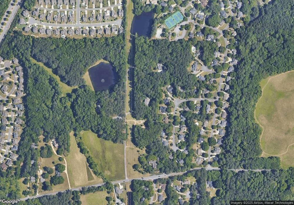
Map
Nearby Homes
- 1803 Stone Bridge Way
- 761 Hardage Farm Dr NW
- 606 Tabbystone St NW
- 741 Crossfire Ridge NW
- 608 Tabbystone St NW Unit 2
- 764 Sharpshooters Ridge NW
- 510 Towneside Ln
- 1981 Village Round NW
- 2150 Unity Trail NW
- 2358 New Salem Trace
- 302 Summer Garden Dr
- 1416 Walcutts Way NW
- 319 Summer Garden Dr
- 2376 Tabbystone Ln NW
- 234 Everleigh Way
- 2139 Bramlett Place NW
- 1900 Leonidas Trail NW
- 1890 Leonidas Trail NW
- 1910 Leonidas Trail NW
- 482 Anderson Rd NW
- 1880 Leonidas Trail NW
- 0 Leonidas Trail Unit 7496410
- 0 Leonidas Trail Unit 7435883
- 0 Leonidas Trail Unit 8656453
- 0 Leonidas Trail
- 1920 Leonidas Trail NW
- 1870 Leonidas Trail NW
- 578 Anderson Rd NW
- 1901 Leonidas Trail NW
- 1871 Leonidas Trail NW
- 1911 Leonidas Trail NW
- 1930 Leonidas Trail NW
- 1860 Leonidas Trail NW
- 451 Anderson Rd NW
- 1921 Leonidas Trail NW
- 1861 Leonidas Trail NW Unit 1