492 Bluestern Dr SE Jasper, GA 30143
Estimated Value: $967,000 - $1,250,000
5
Beds
5
Baths
4,059
Sq Ft
$264/Sq Ft
Est. Value
About This Home
This home is located at 492 Bluestern Dr SE, Jasper, GA 30143 and is currently estimated at $1,073,343, approximately $264 per square foot. 492 Bluestern Dr SE is a home located in Dawson County with nearby schools including Robinson Elementary School, Dawson County Junior High School, and Dawson County Middle School.
Ownership History
Date
Name
Owned For
Owner Type
Purchase Details
Closed on
Apr 18, 2008
Sold by
Macciocchi Stephen N
Bought by
Macciocchi Stephen N and Macciocchi Marcia A
Current Estimated Value
Purchase Details
Closed on
Jul 6, 2006
Sold by
Not Provided
Bought by
Macciocchi Stephen N and As Co
Create a Home Valuation Report for This Property
The Home Valuation Report is an in-depth analysis detailing your home's value as well as a comparison with similar homes in the area
Home Values in the Area
Average Home Value in this Area
Purchase History
| Date | Buyer | Sale Price | Title Company |
|---|---|---|---|
| Macciocchi Stephen N | -- | -- | |
| Macciocchi Stephen New | -- | -- | |
| Macciocchi Stephen N | $665,000 | -- | |
| Macciocchi Stephen N | $169,900 | -- |
Source: Public Records
Tax History Compared to Growth
Tax History
| Year | Tax Paid | Tax Assessment Tax Assessment Total Assessment is a certain percentage of the fair market value that is determined by local assessors to be the total taxable value of land and additions on the property. | Land | Improvement |
|---|---|---|---|---|
| 2024 | $5,036 | $390,160 | $30,000 | $360,160 |
| 2023 | $6,345 | $358,800 | $30,000 | $328,800 |
| 2022 | $6,495 | $303,200 | $42,000 | $261,200 |
| 2021 | $5,863 | $259,120 | $42,000 | $217,120 |
| 2020 | $6,039 | $255,200 | $42,000 | $213,200 |
| 2019 | $6,079 | $254,720 | $42,000 | $212,720 |
| 2018 | $6,164 | $257,720 | $45,000 | $212,720 |
| 2017 | $5,761 | $240,890 | $60,000 | $180,890 |
| 2016 | $5,544 | $231,798 | $60,000 | $171,798 |
| 2015 | $5,722 | $231,798 | $60,000 | $171,798 |
| 2014 | $5,498 | $215,750 | $60,000 | $155,750 |
| 2013 | -- | $193,498 | $60,000 | $133,498 |
Source: Public Records
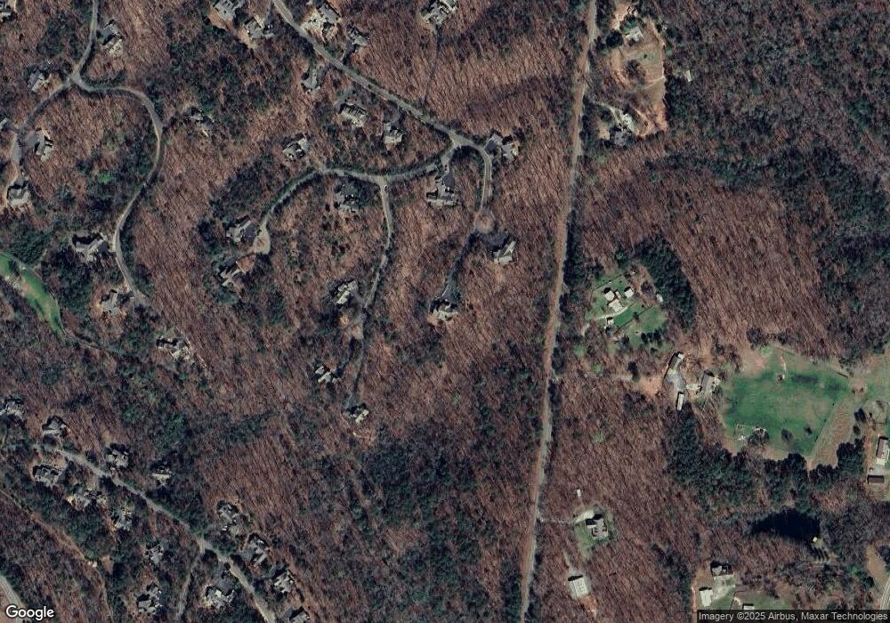
Map
Nearby Homes
- 199 Wood Poppy View
- 331 Bluestern Dr SE
- 0 Steve Tate Hwy Unit 24631406
- 3285 Wood Poppy Dr
- 160 Bluestern Dr
- 46 Bee Balm Way
- 285 Bear Creek Dr
- 39 Bear Creek Dr
- 19 Cherokee Dr
- 495 Bear Creek Dr
- 3356 Bee Balm Way
- 930 Cantrell Rd
- 98 Bobcat Ridge Dr
- 838 Wildcat Trail
- 121 Sunuwa Way
- 442 Blazingstar Trail
- 171 Yanoo Trace
- 14 Yanegwa Path
- 3461 Wild Pansy Ridge
- 00 Afton Rd
- 501 Bluestern Dr SE
- 66 Hyssop Ct
- 95 Hyssop Ct
- 9 Blue Phlox Way
- 104 Hyssop Ct
- 4940 Steve Tate Hwy
- 455 Bluestern Dr SE
- 436 Bluestern Dr SE
- 160 Blue Phlox Way
- 94 Blue Phlox Way
- 5104 Steve Tate Hwy
- 5104 Steve Tate Hwy
- 4814 Steve Tate Hwy
- 4920 Steve Tate Hwy
- 4920 Steve Tate Hwy
- 207 Red Trillium Ridge
- 311 Bluestern Dr SE
- 284 Bluestern Dr SE
- 264 Red Trillium Ridge
- 57 Wood Poppy View