492 Mapleport Way Unit A Cincinnati, OH 45255
Estimated Value: $206,000 - $212,000
2
Beds
2
Baths
1,222
Sq Ft
$171/Sq Ft
Est. Value
About This Home
This home is located at 492 Mapleport Way Unit A, Cincinnati, OH 45255 and is currently estimated at $208,953, approximately $170 per square foot. 492 Mapleport Way Unit A is a home located in Clermont County with nearby schools including Withamsville-Tobasco Elementary School, West Clermont Middle School, and West Clermont High School.
Ownership History
Date
Name
Owned For
Owner Type
Purchase Details
Closed on
Apr 28, 2023
Sold by
Leslie Britt J and Leslie Tracey
Bought by
Evans Samantha
Current Estimated Value
Home Financials for this Owner
Home Financials are based on the most recent Mortgage that was taken out on this home.
Original Mortgage
$166,250
Outstanding Balance
$161,801
Interest Rate
6.6%
Mortgage Type
New Conventional
Estimated Equity
$47,152
Purchase Details
Closed on
Sep 6, 2016
Sold by
John M Mccarthy
Bought by
Malott Dale
Home Financials for this Owner
Home Financials are based on the most recent Mortgage that was taken out on this home.
Original Mortgage
$38,500
Interest Rate
3.46%
Purchase Details
Closed on
Feb 22, 1994
Create a Home Valuation Report for This Property
The Home Valuation Report is an in-depth analysis detailing your home's value as well as a comparison with similar homes in the area
Home Values in the Area
Average Home Value in this Area
Purchase History
| Date | Buyer | Sale Price | Title Company |
|---|---|---|---|
| Evans Samantha | $185,000 | None Listed On Document | |
| Malott Dale | -- | -- | |
| -- | $91,000 | -- |
Source: Public Records
Mortgage History
| Date | Status | Borrower | Loan Amount |
|---|---|---|---|
| Open | Evans Samantha | $166,250 | |
| Previous Owner | Malott Dale | $38,500 | |
| Previous Owner | Malott Dale | -- |
Source: Public Records
Tax History Compared to Growth
Tax History
| Year | Tax Paid | Tax Assessment Tax Assessment Total Assessment is a certain percentage of the fair market value that is determined by local assessors to be the total taxable value of land and additions on the property. | Land | Improvement |
|---|---|---|---|---|
| 2024 | $2,660 | $52,750 | $9,210 | $43,540 |
| 2023 | $2,727 | $52,750 | $9,210 | $43,540 |
| 2022 | $1,908 | $32,030 | $5,600 | $26,430 |
| 2021 | $1,908 | $32,030 | $5,600 | $26,430 |
| 2020 | $1,918 | $32,030 | $5,600 | $26,430 |
| 2019 | $1,427 | $27,720 | $5,320 | $22,400 |
| 2018 | $1,441 | $27,720 | $5,320 | $22,400 |
| 2017 | $1,800 | $27,720 | $5,320 | $22,400 |
| 2016 | $1,800 | $31,330 | $5,250 | $26,080 |
| 2015 | $1,748 | $31,330 | $5,250 | $26,080 |
| 2014 | $1,748 | $31,330 | $5,250 | $26,080 |
| 2013 | $1,828 | $32,420 | $5,500 | $26,920 |
Source: Public Records
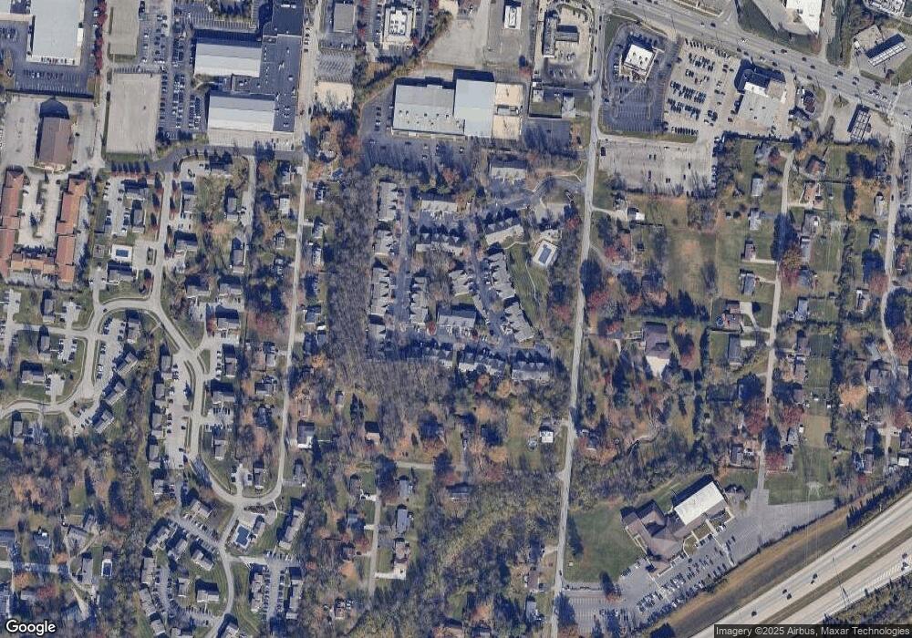
Map
Nearby Homes
- 3986 Maplefield Ct
- 3982 Maplecove Ln
- 1144 White Pine Ct
- 4077 Mclean Dr
- 1068 Nordyke Rd
- 8538 Sunmont Dr
- 8512 Prilla Ln
- 3910 Vineyard Green Dr
- 3892 Michael Dr
- 3879 Mark Ct
- 457 Courtland Place Unit 28D
- 8557 Linderwood Ln
- 1082 Eight Mile Rd
- 604 Legend Hills
- 854 Nordyke Rd
- 3875 Michael Dr
- 498 Sanctuary Way
- 1629 Muskegon Dr
- 1612 Clemson Cir
- 496 Sanctuary Way
- 3990 Maplecove Ln Unit D
- 490 Mapleleaf Dr Unit D
- 492 Mapleport Way Unit 11D
- 492 Mapleport Way
- 492 Mapleport Way
- 492 Mapleport Way
- 3990 Maplecove Ln Unit 15E
- 3990 Maplecove Ln
- 3990 Maplecove Ln Unit 15C
- 3990 Maplecove Ln
- 3990 Maplecove Ln
- 490 Mapleleaf Dr
- 490 Mapleleaf Dr
- 490 Mapleleaf Dr
- 490 Mapleleaf Dr Unit A
- 492 Mapleport Way Unit 11E
- 3990 Maplecove Ln Unit 15F
- 490 Mapleleaf Dr Unit 4E
- 492 Mapleport Way Unit B
- 3990 Maplecove Ln Unit B