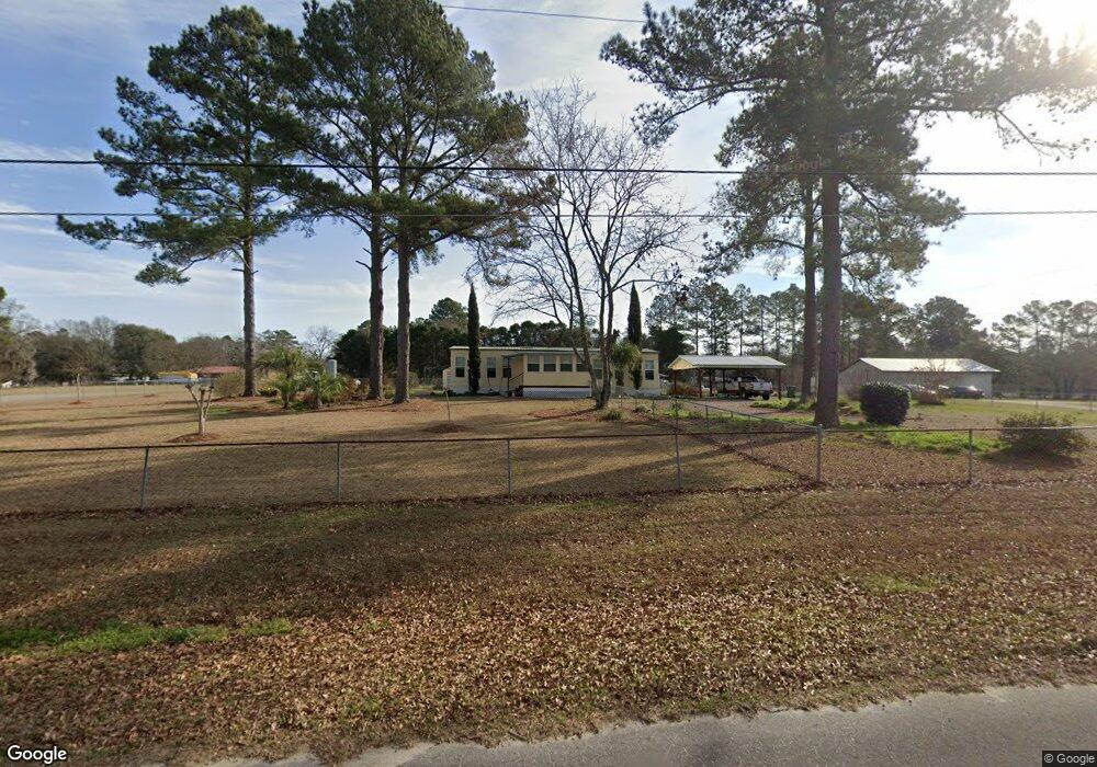
492 Newsom Rd Moultrie, GA 31788
Estimated Value: $96,000 - $207,000
--
Bed
2
Baths
1,132
Sq Ft
$123/Sq Ft
Est. Value
About This Home
This home is located at 492 Newsom Rd, Moultrie, GA 31788 and is currently estimated at $139,343, approximately $123 per square foot. 492 Newsom Rd is a home located in Colquitt County with nearby schools including Cox Elementary School, Willie J. Williams Middle School, and C.A. Gray Junior High School.
Ownership History
Date
Name
Owned For
Owner Type
Purchase Details
Closed on
Jan 1, 2011
Sold by
Nelms Robert J
Bought by
Baker Debbie Ann
Current Estimated Value
Purchase Details
Closed on
Dec 3, 2008
Sold by
Walsh Jeanette M
Bought by
Nelms Robert J
Purchase Details
Closed on
Aug 2, 2004
Sold by
Moates Julius E Estate
Bought by
Moates Jeanette M
Purchase Details
Closed on
Jun 22, 1988
Sold by
Moates Julius E
Bought by
Moates Julius E Estate
Create a Home Valuation Report for This Property
The Home Valuation Report is an in-depth analysis detailing your home's value as well as a comparison with similar homes in the area
Home Values in the Area
Average Home Value in this Area
Purchase History
| Date | Buyer | Sale Price | Title Company |
|---|---|---|---|
| Baker Debbie Ann | $39,500 | -- | |
| Nelms Robert J | $30,000 | -- | |
| Moates Jeanette M | -- | -- | |
| Moates Julius E Estate | $20,000 | -- |
Source: Public Records
Tax History Compared to Growth
Tax History
| Year | Tax Paid | Tax Assessment Tax Assessment Total Assessment is a certain percentage of the fair market value that is determined by local assessors to be the total taxable value of land and additions on the property. | Land | Improvement |
|---|---|---|---|---|
| 2024 | $569 | $34,173 | $5,081 | $29,092 |
| 2023 | $678 | $26,391 | $5,081 | $21,310 |
| 2022 | $466 | $21,575 | $4,515 | $17,060 |
| 2021 | $392 | $18,151 | $4,515 | $13,636 |
| 2020 | $399 | $18,151 | $4,515 | $13,636 |
| 2019 | $444 | $18,151 | $4,515 | $13,636 |
| 2018 | $464 | $18,151 | $4,515 | $13,636 |
| 2017 | $417 | $17,339 | $3,703 | $13,636 |
| 2016 | $423 | $17,339 | $3,703 | $13,636 |
| 2015 | $427 | $17,339 | $3,703 | $13,636 |
| 2014 | $419 | $17,339 | $3,703 | $13,636 |
| 2013 | -- | $17,338 | $3,703 | $13,635 |
Source: Public Records
Map
Nearby Homes
- 1113 Georgia 133
- 270 Old Timey Trail
- 410 Indian Trail
- 132 Tallokas Trail
- 292 Robin Ln
- 157 Quail Ridge
- 0 Old Timey Trail
- 424 U S Highway 319
- 125 Inner Cir
- 124 Flint Dr
- 31 31st Ave SE
- 0 Sardis Church Rd
- 1312 Overlook Dr
- 4 Baldwin Place SE
- 0 26th Ave SE
- 7 SE Pheasant Ln
- 35 Cobblestone Blvd SE
- 331 Cobblestone Blvd SE
- 1701 10th St SE
- 1716 5th Ave SE