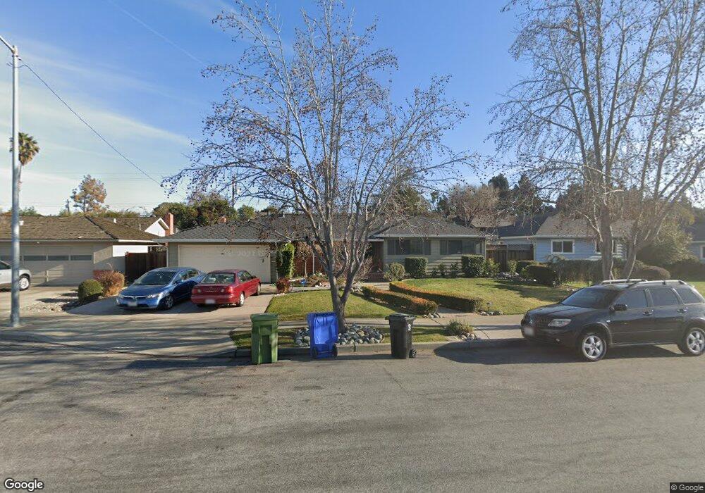
4920 Brophy Dr Fremont, CA 94536
Glenmoor NeighborhoodEstimated Value: $1,754,000 - $2,137,000
4
Beds
2
Baths
2,196
Sq Ft
$890/Sq Ft
Est. Value
About This Home
This home is located at 4920 Brophy Dr, Fremont, CA 94536 and is currently estimated at $1,955,206, approximately $890 per square foot. 4920 Brophy Dr is a home located in Alameda County with nearby schools including Tom Maloney Elementary School, Centerville Junior High School, and Washington High School.
Ownership History
Date
Name
Owned For
Owner Type
Purchase Details
Closed on
Oct 11, 2016
Sold by
Maurer Larry G and Maurer Rebecca J
Bought by
Sriraman Saravanapriyan and Mani Sumithra
Current Estimated Value
Home Financials for this Owner
Home Financials are based on the most recent Mortgage that was taken out on this home.
Original Mortgage
$862,400
Outstanding Balance
$691,375
Interest Rate
3.46%
Mortgage Type
New Conventional
Estimated Equity
$1,263,831
Purchase Details
Closed on
Jul 19, 2008
Sold by
Maurer Larry G and Maurer Rebecca J
Bought by
Maurer Larry G and Maurer Rebecca J
Create a Home Valuation Report for This Property
The Home Valuation Report is an in-depth analysis detailing your home's value as well as a comparison with similar homes in the area
Home Values in the Area
Average Home Value in this Area
Purchase History
| Date | Buyer | Sale Price | Title Company |
|---|---|---|---|
| Sriraman Saravanapriyan | $1,078,000 | Chicago Title Company | |
| Maurer Larry G | -- | None Available |
Source: Public Records
Mortgage History
| Date | Status | Borrower | Loan Amount |
|---|---|---|---|
| Open | Sriraman Saravanapriyan | $862,400 |
Source: Public Records
Tax History Compared to Growth
Tax History
| Year | Tax Paid | Tax Assessment Tax Assessment Total Assessment is a certain percentage of the fair market value that is determined by local assessors to be the total taxable value of land and additions on the property. | Land | Improvement |
|---|---|---|---|---|
| 2025 | $14,636 | $1,244,083 | $464,224 | $786,859 |
| 2024 | $14,636 | $1,219,559 | $455,124 | $771,435 |
| 2023 | $14,254 | $1,202,509 | $446,200 | $756,309 |
| 2022 | $14,084 | $1,171,933 | $437,452 | $741,481 |
| 2021 | $13,734 | $1,148,820 | $428,876 | $726,944 |
| 2020 | $13,823 | $1,143,973 | $424,480 | $719,493 |
| 2019 | $13,662 | $1,121,551 | $416,160 | $705,391 |
| 2018 | $13,397 | $1,099,560 | $408,000 | $691,560 |
| 2017 | $13,061 | $1,078,000 | $400,000 | $678,000 |
| 2016 | $3,744 | $278,610 | $109,795 | $168,815 |
| 2015 | $3,684 | $274,425 | $108,146 | $166,279 |
| 2014 | $3,612 | $269,051 | $106,028 | $163,023 |
Source: Public Records
Map
Nearby Homes
- 4715 Mildred Dr
- 39198 Blacow Rd
- 38324 Blacow Rd
- 4714 Serra Ave
- 5033 Blacksand Rd
- 4403 Burke Way
- 4948 Norris Rd
- 37987 Alta Dr
- 5550 Higo Way
- 5562 Higo Way
- 38532 Cedar Blvd
- 4586 Norris Rd
- 38466 Ambrosia St
- 38496 Ambrosia St
- Sierra Plan at Marabel
- Olvera Plan at Marabel
- Ronda Plan at Marabel
- Medina Plan at Marabel
- Sidonia Plan at Marabel
- 38984 Primula Terrace
- 4936 Brophy Dr
- 4904 Brophy Dr
- 38872 Roanoke Way
- 4952 Brophy Dr
- 38855 Roanoke Way
- 38858 Roanoke Way
- 4968 Brophy Dr
- 4851 Louise Ct
- 38844 Roanoke Way
- 4953 Brophy Dr
- 4852 Louise Ct
- 38831 Roanoke Way
- 4850 Kathryn Ct
- 4835 Louise Ct
- 38830 Roanoke Way
- 4834 Kathryn Ct
- 4984 Brophy Dr
- 4969 Brophy Dr
- 38880 Blacow Rd
- 4942 Mildred Dr