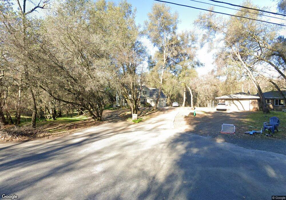
4920 Lorin Ct Auburn, CA 95602
Estimated Value: $662,000 - $700,752
3
Beds
2
Baths
1,982
Sq Ft
$344/Sq Ft
Est. Value
About This Home
This home is located at 4920 Lorin Ct, Auburn, CA 95602 and is currently estimated at $682,688, approximately $344 per square foot. 4920 Lorin Ct is a home located in Placer County with nearby schools including Sierra Hills Elementary School, Weimar Hills, and Colfax High School.
Ownership History
Date
Name
Owned For
Owner Type
Purchase Details
Closed on
Jan 7, 2009
Sold by
Bank Of New York
Bought by
Desai Neeshant D and Desai Kathleen Spears
Current Estimated Value
Home Financials for this Owner
Home Financials are based on the most recent Mortgage that was taken out on this home.
Original Mortgage
$340,862
Outstanding Balance
$213,490
Interest Rate
5.01%
Mortgage Type
FHA
Estimated Equity
$469,198
Purchase Details
Closed on
Aug 25, 2008
Sold by
Hugi Rod D and Hugi Lena M
Bought by
Bank Of New York
Purchase Details
Closed on
Feb 19, 2003
Sold by
Walsh Thomas J
Bought by
Hugi Rod D and Hugi Lena M
Home Financials for this Owner
Home Financials are based on the most recent Mortgage that was taken out on this home.
Original Mortgage
$309,000
Interest Rate
5.93%
Mortgage Type
Construction
Create a Home Valuation Report for This Property
The Home Valuation Report is an in-depth analysis detailing your home's value as well as a comparison with similar homes in the area
Home Values in the Area
Average Home Value in this Area
Purchase History
| Date | Buyer | Sale Price | Title Company |
|---|---|---|---|
| Desai Neeshant D | $365,000 | First American Title Company | |
| Bank Of New York | $369,375 | Landsafe Title | |
| Hugi Rod D | $125,000 | Placer Title Company |
Source: Public Records
Mortgage History
| Date | Status | Borrower | Loan Amount |
|---|---|---|---|
| Open | Desai Neeshant D | $340,862 | |
| Previous Owner | Hugi Rod D | $309,000 |
Source: Public Records
Tax History Compared to Growth
Tax History
| Year | Tax Paid | Tax Assessment Tax Assessment Total Assessment is a certain percentage of the fair market value that is determined by local assessors to be the total taxable value of land and additions on the property. | Land | Improvement |
|---|---|---|---|---|
| 2025 | $4,733 | $470,015 | $148,082 | $321,933 |
| 2023 | $4,733 | $451,766 | $142,333 | $309,433 |
| 2022 | $4,579 | $442,909 | $139,543 | $303,366 |
| 2021 | $4,479 | $434,225 | $136,807 | $297,418 |
| 2020 | $4,427 | $429,774 | $135,405 | $294,369 |
| 2019 | $4,339 | $421,348 | $132,750 | $288,598 |
| 2018 | $4,186 | $413,088 | $130,148 | $282,940 |
| 2017 | $4,110 | $404,990 | $127,597 | $277,393 |
| 2016 | $4,022 | $397,050 | $125,096 | $271,954 |
| 2015 | $3,924 | $391,086 | $123,217 | $267,869 |
| 2014 | $3,863 | $383,426 | $120,804 | $262,622 |
Source: Public Records
Map
Nearby Homes
- 5011 Stanley Dr
- 4757 Gava Ct
- 3116 Sunshine Meadow Ln
- 5200 Thomas Dr
- 3120 Iron Mine Rd
- 2125 Dream Place
- 5900 Stanley Dr
- 2790 Black Oak Rd
- 3730 Kimo Way
- 15288 William Dr
- 4765 Garden Ct
- 13975 Moss Rock Dr
- 14580 Mcelroy Rd
- 0 Mcelroy Rd Unit 225065625
- 17045 Winchester Club Dr
- 2073 Long View Dr
- 2061 Long View Dr
- 1461 Lodge View Dr
- 3012 Legends Dr
- 1621 The Point
- 4900 Lorin Ct
- 4940 Lorin Ct
- 4935 Lorin Ct
- 3220 Christian Valley Rd
- 3260 Christian Valley Rd
- 4905 Lorin Ct
- 3235 Ray Cir
- 4925 Lorin Ct
- 4960 Lorin Ct
- 3245 Ray Cir
- 4955 Lorin Ct
- 4945 Lorin Ct
- 3130 Christian Valley Rd
- 3225 Ray Cir
- 3280 Christian Valley Rd
- 3020 Christian Valley Rd
- 3185 Ray Cir
- 4975 Lorin Ct
- 4980 Lorin Ct
- 2855 Allen Dr