4920 Rosalind Ln Powell, OH 43065
Estimated Value: $905,000 - $1,480,000
4
Beds
5
Baths
3,557
Sq Ft
$352/Sq Ft
Est. Value
About This Home
This home is located at 4920 Rosalind Ln, Powell, OH 43065 and is currently estimated at $1,250,940, approximately $351 per square foot. 4920 Rosalind Ln is a home located in Delaware County with nearby schools including Indian Springs Elementary School, Hyatts Middle School, and Olentangy Liberty High School.
Ownership History
Date
Name
Owned For
Owner Type
Purchase Details
Closed on
Jun 24, 2011
Sold by
Aschenbrand Richard A and Aschenbrand Joan C
Bought by
Achenbrand Richard A
Current Estimated Value
Purchase Details
Closed on
Oct 12, 2006
Sold by
Cugini & Capoccia Builders Inc
Bought by
Aschenbrand Richard A and Aschenbrand Joan C
Home Financials for this Owner
Home Financials are based on the most recent Mortgage that was taken out on this home.
Original Mortgage
$100,000
Interest Rate
6.45%
Mortgage Type
Purchase Money Mortgage
Create a Home Valuation Report for This Property
The Home Valuation Report is an in-depth analysis detailing your home's value as well as a comparison with similar homes in the area
Home Values in the Area
Average Home Value in this Area
Purchase History
| Date | Buyer | Sale Price | Title Company |
|---|---|---|---|
| Achenbrand Richard A | -- | Attorney | |
| Aschenbrand Richard A | $715,700 | Peak Title |
Source: Public Records
Mortgage History
| Date | Status | Borrower | Loan Amount |
|---|---|---|---|
| Previous Owner | Aschenbrand Richard A | $100,000 |
Source: Public Records
Tax History
| Year | Tax Paid | Tax Assessment Tax Assessment Total Assessment is a certain percentage of the fair market value that is determined by local assessors to be the total taxable value of land and additions on the property. | Land | Improvement |
|---|---|---|---|---|
| 2024 | $21,854 | $426,900 | $85,890 | $341,010 |
| 2023 | $21,973 | $426,900 | $85,890 | $341,010 |
| 2022 | $18,609 | $289,250 | $56,600 | $232,650 |
| 2021 | $18,723 | $289,250 | $56,600 | $232,650 |
| 2020 | $18,813 | $289,250 | $56,600 | $232,650 |
| 2019 | $16,686 | $268,110 | $56,600 | $211,510 |
| 2018 | $16,764 | $268,110 | $56,600 | $211,510 |
| 2017 | $16,589 | $244,690 | $52,960 | $191,730 |
| 2016 | $16,233 | $244,690 | $52,960 | $191,730 |
| 2015 | $14,680 | $244,690 | $52,960 | $191,730 |
| 2014 | $14,882 | $244,690 | $52,960 | $191,730 |
| 2013 | $14,751 | $237,310 | $52,960 | $184,350 |
Source: Public Records
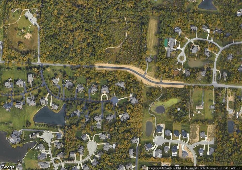
Map
Nearby Homes
- 9196 McDowall Dr
- 5208 Rosalind Blvd
- 9338 Deer Path Ct
- 5431 Rosalind Blvd
- 4860 Bayhill Dr
- 4530 Cascade Dr
- 9375 Creighton Dr
- 9430 Wilbrook Dr
- 9590 Shawnee Trail
- 4532 Coyote Crossing
- 3881 Orchard Way
- 9501 Shawnee Trail
- 3991 Orchard View Place
- 3839 Orchard Way
- 8778 Linksway Dr
- 9529 Wayne Brown Dr
- 4445 Tavistock Cir
- 0 S Park Place E
- 3154 Mapex Ct
- 3702 Stoneway Point
- 4948 Rosalind Ln
- 4912 Rosalind Ln
- 4978 Rosalind Ln
- 4824 Seldom Seen Rd
- 4919 Rosalind Ln
- 4935 Rosalind Ln
- 4837 Seldom Seen Rd
- 5006 Rosalind Ln
- 4961 Rosalind Ln
- 5885 Rosalind Ln
- 0 Rosalind Ln
- 4744 Sibel Ct
- 5034 Rosalind Ln
- 5005 Rosalind Ln
- 9169 McDowall Dr
- 4987 Ravines Edge Ct
- 8889 Creighton Dr
- 4739 Seldom Seen Rd
- 4722 Sibel Ct
- 9187 McDowall Dr
Your Personal Tour Guide
Ask me questions while you tour the home.