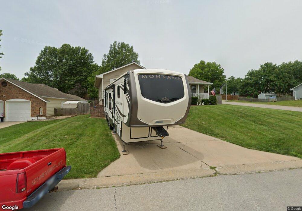
4920 S Milton Ct Independence, MO 64055
Highland Manor NeighborhoodEstimated Value: $274,000 - $304,000
3
Beds
2
Baths
1,473
Sq Ft
$193/Sq Ft
Est. Value
About This Home
This home is located at 4920 S Milton Ct, Independence, MO 64055 and is currently estimated at $284,990, approximately $193 per square foot. 4920 S Milton Ct is a home located in Jackson County with nearby schools including William Southern Elementary School, Bridger Middle School, and Pioneer Ridge Middle School.
Ownership History
Date
Name
Owned For
Owner Type
Purchase Details
Closed on
Mar 28, 2003
Sold by
Hylton Edward R and Hylton Ellen M
Bought by
Hylton Edward R and Hylton Ellen M
Current Estimated Value
Home Financials for this Owner
Home Financials are based on the most recent Mortgage that was taken out on this home.
Original Mortgage
$122,200
Interest Rate
5.77%
Mortgage Type
Purchase Money Mortgage
Purchase Details
Closed on
Sep 24, 1996
Sold by
Grimm Verne A and Grimm Victoria K
Bought by
Brownrigg Stephen J and Brownrigg Joette M
Home Financials for this Owner
Home Financials are based on the most recent Mortgage that was taken out on this home.
Original Mortgage
$90,000
Interest Rate
7.75%
Mortgage Type
Purchase Money Mortgage
Create a Home Valuation Report for This Property
The Home Valuation Report is an in-depth analysis detailing your home's value as well as a comparison with similar homes in the area
Home Values in the Area
Average Home Value in this Area
Purchase History
| Date | Buyer | Sale Price | Title Company |
|---|---|---|---|
| Hylton Edward R | -- | Old Republic Title Of Ks Cit | |
| Brownrigg Stephen J | -- | -- |
Source: Public Records
Mortgage History
| Date | Status | Borrower | Loan Amount |
|---|---|---|---|
| Closed | Hylton Edward R | $122,200 | |
| Closed | Brownrigg Stephen J | $90,000 |
Source: Public Records
Tax History Compared to Growth
Tax History
| Year | Tax Paid | Tax Assessment Tax Assessment Total Assessment is a certain percentage of the fair market value that is determined by local assessors to be the total taxable value of land and additions on the property. | Land | Improvement |
|---|---|---|---|---|
| 2025 | $2,553 | $42,378 | $7,570 | $34,808 |
| 2024 | $2,495 | $36,851 | $6,367 | $30,484 |
| 2023 | $2,495 | $36,851 | $5,041 | $31,810 |
| 2022 | $2,639 | $35,720 | $3,537 | $32,183 |
| 2021 | $2,637 | $35,720 | $3,537 | $32,183 |
| 2020 | $2,377 | $31,277 | $3,537 | $27,740 |
| 2019 | $2,339 | $31,277 | $3,537 | $27,740 |
| 2018 | $887,156 | $27,221 | $3,078 | $24,143 |
| 2017 | $2,132 | $27,221 | $3,078 | $24,143 |
| 2016 | $1,873 | $23,680 | $3,327 | $20,353 |
| 2014 | $1,779 | $22,990 | $3,230 | $19,760 |
Source: Public Records
Map
Nearby Homes
- 5017 S Bryant Ct
- 16608 E 51st Terrace Court S N A
- 5300 Lees Summit Rd
- 16612 E 53rd St S
- 16702 E 53rd St S Unit 17
- 16507 E 52nd Terrace Ct S
- 16503 E 52nd Terrace Ct S
- 16001 E Us 40 Hwy
- 5115 S Shrank Ave
- 16509 E 54th St S
- 5410 S Coachman Ave
- 5423 S Bryant Dr
- 5436 S Coachman Ave
- 17012 E 46th Street Ct S
- Hawthorne Villas Plan at Ashton Farms
- Aspen Villas Plan at Ashton Farms
- 17103 E 45th St S
- 4705 S Brentwood Ave
- 4707 S Brentwood Ave
- 17318 E Us Highway 40
- 4924 S Milton Ct
- 4916 S Milton Ct
- 4921 S Bryant Dr
- 4928 S Milton Ct
- 4925 S Bryant Dr
- 4921 S Milton Ct
- 4917 S Bryant Cir
- 4925 S Milton Ct
- 4929 S Bryant Dr
- 4912 S Milton Ct
- 4917 S Milton Ct
- 4932 S Milton Ct
- 4929 S Milton Ct
- 4933 S Milton Ct
- 4913 S Bryant Cir
- 4913 S Milton Ct
- 5001 S Bryant Dr
- 4908 S Milton Ct
- 4924 S Coachman Dr
- 4909 S Milton Ct