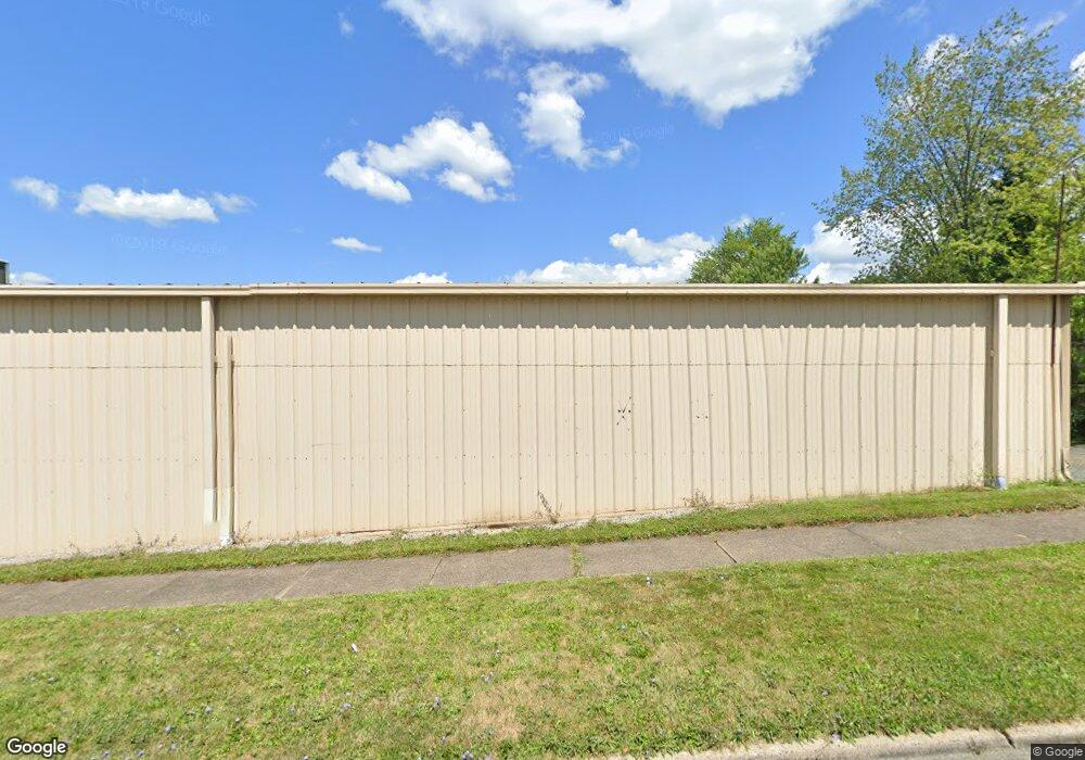
4921 Market St Youngstown, OH 44512
Estimated Value: $451,123
--
Bed
--
Bath
7,980
Sq Ft
$57/Sq Ft
Est. Value
About This Home
This home is located at 4921 Market St, Youngstown, OH 44512 and is currently estimated at $451,123, approximately $56 per square foot. 4921 Market St is a home located in Mahoning County with nearby schools including Boardman Glenwood Junior High School, Boardman High School, and Horizon Science Academy - Youngstown.
Ownership History
Date
Name
Owned For
Owner Type
Purchase Details
Closed on
Jan 31, 2014
Sold by
Mercedes Development Llc
Bought by
Ruiz Cipriano and Ruiz Tomasa
Current Estimated Value
Purchase Details
Closed on
Apr 18, 2013
Sold by
Maple Leaf Expansion Inc
Bought by
Mercedes Development Llc
Purchase Details
Closed on
Dec 19, 2003
Sold by
Ntj Co
Bought by
Maple Leaf Expansion Inc
Purchase Details
Closed on
Dec 15, 2003
Sold by
Petrarca Thomas W and Petrarca Angela
Bought by
Maple Leaf Expansion Inc
Purchase Details
Closed on
Sep 15, 2003
Sold by
Ntj Co
Bought by
Petrarca Thomas W
Purchase Details
Closed on
Jun 11, 1987
Bought by
Petrarca Nick and Petrarca Lucille
Create a Home Valuation Report for This Property
The Home Valuation Report is an in-depth analysis detailing your home's value as well as a comparison with similar homes in the area
Home Values in the Area
Average Home Value in this Area
Purchase History
| Date | Buyer | Sale Price | Title Company |
|---|---|---|---|
| Ruiz Cipriano | $195,300 | Attorney | |
| Mercedes Development Llc | -- | Attorney | |
| Maple Leaf Expansion Inc | $266,000 | -- | |
| Maple Leaf Expansion Inc | -- | -- | |
| Petrarca Thomas W | -- | -- | |
| Petrarca Nick | -- | -- |
Source: Public Records
Tax History Compared to Growth
Tax History
| Year | Tax Paid | Tax Assessment Tax Assessment Total Assessment is a certain percentage of the fair market value that is determined by local assessors to be the total taxable value of land and additions on the property. | Land | Improvement |
|---|---|---|---|---|
| 2024 | $6,246 | $88,270 | $6,200 | $82,070 |
| 2023 | $6,153 | $88,270 | $6,200 | $82,070 |
| 2022 | $5,763 | $70,840 | $5,160 | $65,680 |
| 2021 | $5,788 | $70,840 | $5,160 | $65,680 |
| 2020 | $5,819 | $70,840 | $5,160 | $65,680 |
| 2019 | $5,986 | $70,840 | $5,160 | $65,680 |
| 2018 | $5,286 | $70,840 | $5,160 | $65,680 |
| 2017 | $6,082 | $70,840 | $5,160 | $65,680 |
| 2016 | $6,908 | $93,430 | $10,330 | $83,100 |
| 2015 | $6,736 | $93,430 | $10,330 | $83,100 |
| 2014 | $7,706 | $107,040 | $10,330 | $96,710 |
| 2013 | $7,621 | $107,040 | $10,330 | $96,710 |
Source: Public Records
Map
Nearby Homes
- 28 Terrace Dr
- 83 Beechwood Dr
- 94 Beechwood Dr
- 60 Shadyside Dr
- 94 Shadyside Dr
- 4508 Southern Blvd
- 4504 Southern Blvd
- 81 Melrose Ave
- 148 Clifton Dr
- 30 Pinehurst Ave
- 175 Homestead Dr
- 127 Melrose Ave
- 4250 Oak Knoll Dr
- 4312 Helena Ave
- 4307 Helena Ave
- 272 Shields Rd
- 117 Overhill Rd
- 4225 Stratford Rd
- 4144 Helena Ave
- 167 Afton Ave
- 4927 Market St
- 4941 Market St
- 4941 Market St Unit 1
- 4941 Market St Unit 3
- 13 Terrace Dr Unit 15
- 16 Homestead Dr
- 19 Terrace Dr
- 27 Terrace Dr
- 32 Homestead Dr
- 31 Terrace Dr
- 19 Homestead Dr
- 22 Terrace Dr
- 15 Homestead Dr
- 35 Terrace Dr
- 26 Terrace Dr
- 36 Homestead Dr
- 25 Homestead Dr
- 38 Homestead Dr
- 39 Terrace Dr
- 31 Homestead Dr