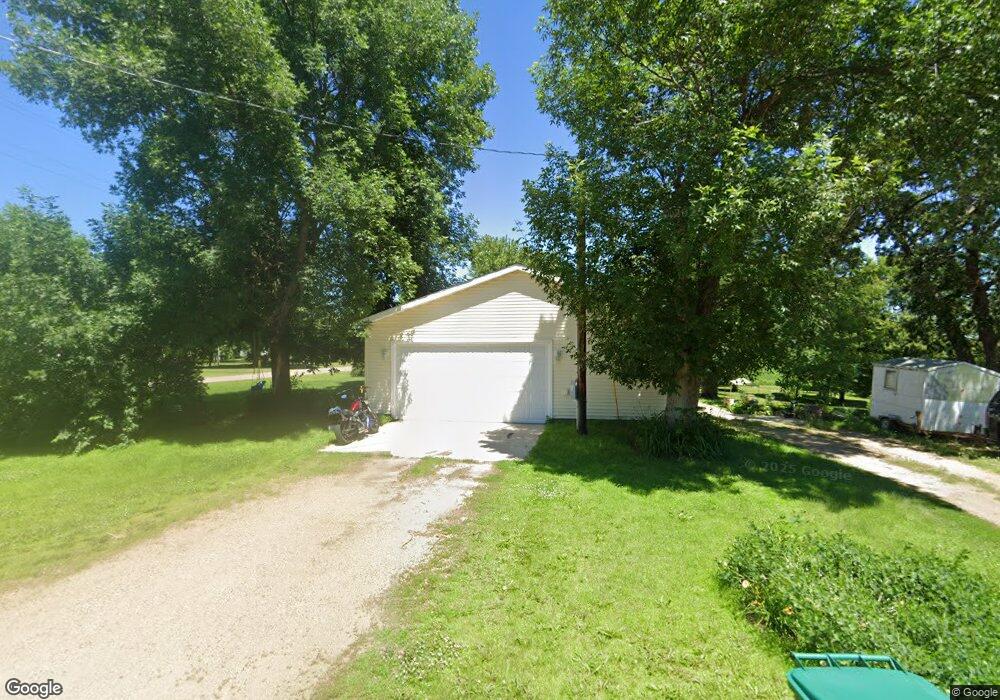
4922 139th St South Haven, MN 55382
Estimated Value: $239,000 - $262,000
3
Beds
2
Baths
1,232
Sq Ft
$207/Sq Ft
Est. Value
About This Home
This home is located at 4922 139th St, South Haven, MN 55382 and is currently estimated at $255,076, approximately $207 per square foot. 4922 139th St is a home located in Stearns County with nearby schools including Kimball Elementary School and Kimball High School.
Ownership History
Date
Name
Owned For
Owner Type
Purchase Details
Closed on
Sep 4, 2015
Sold by
Nordeen Ronald L
Bought by
Horton Kyle
Current Estimated Value
Purchase Details
Closed on
May 14, 2013
Sold by
Saarela Kenneth Mell and Saarela Cindy Mcgreg
Bought by
Nordeen Ronald L
Purchase Details
Closed on
Nov 21, 2001
Sold by
Shadduck William
Bought by
Nutter Wayne
Purchase Details
Closed on
Jul 15, 1996
Sold by
Chadduck
Bought by
Nutter
Purchase Details
Closed on
Jul 12, 1996
Sold by
Stuve
Bought by
Shadduck
Create a Home Valuation Report for This Property
The Home Valuation Report is an in-depth analysis detailing your home's value as well as a comparison with similar homes in the area
Home Values in the Area
Average Home Value in this Area
Purchase History
| Date | Buyer | Sale Price | Title Company |
|---|---|---|---|
| Horton Kyle | $16,000 | -- | |
| Nordeen Ronald L | $15,000 | -- | |
| Nutter Wayne | $40,000 | -- | |
| Nutter | $40,000 | -- | |
| Shadduck | $35,500 | -- |
Source: Public Records
Tax History Compared to Growth
Tax History
| Year | Tax Paid | Tax Assessment Tax Assessment Total Assessment is a certain percentage of the fair market value that is determined by local assessors to be the total taxable value of land and additions on the property. | Land | Improvement |
|---|---|---|---|---|
| 2025 | $1,798 | $211,600 | $36,600 | $175,000 |
| 2024 | $1,822 | $218,400 | $36,600 | $181,800 |
| 2023 | $1,712 | $211,900 | $36,600 | $175,300 |
| 2022 | $1,492 | $157,300 | $30,500 | $126,800 |
| 2021 | $1,512 | $157,300 | $30,500 | $126,800 |
| 2020 | $593 | $150,200 | $30,500 | $119,700 |
| 2019 | $1,118 | $122,800 | $23,500 | $99,300 |
| 2018 | $998 | $103,200 | $22,000 | $81,200 |
| 2017 | $156 | $18,700 | $18,700 | $0 |
| 2016 | $276 | $0 | $0 | $0 |
| 2015 | $270 | $0 | $0 | $0 |
| 2014 | -- | $0 | $0 | $0 |
Source: Public Records
Map
Nearby Homes
- 14XXX County Road 44
- 10848 Porter Ave NW
- 16698 109th St NW
- 10368 Oliver Ave NW
- 10399 Reardon Ave NW
- 13943 102nd St NW
- 13934 101st St NW
- South Tract A TBD County Road 45
- North Tract B TBD County Road 45
- 13496 Campfire Cir
- 2060 Clearwater Forest Dr
- 8537 Pittman Ave NW
- 125 Cedar St SE
- 148 Cedar St SE
- 118 Cedar St SE
- 847 Walnut Ave SE
- 16307 78th Ave
- 226 Quill St NE
- 0 80th St NW
- 451 Linden Ave E
- 13812 49th Ave
- 13876 49th Ave
- 13905 County Road 7
- 4891 139th St
- 13875 49th Ave
- 13788 49th Ave
- 13795 49th Ave
- 4987 139th St
- 13806 50th Ave
- 13878 50th Ave
- 4912 138th St
- 13905 49th Ave
- 13812 County Road 7
- 13914 49th Ave
- 13914 49th Ave
- 13773 County Road 7
- 13912 50th Ave
- 4982 138th St
- 4956 138th St
- 13871 50th Ave