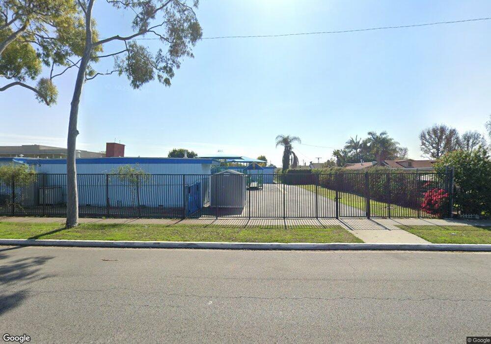
4922 Abbott Rd Lynwood, CA 90262
Estimated Value: $618,000 - $733,000
3
Beds
1
Bath
1,393
Sq Ft
$484/Sq Ft
Est. Value
About This Home
This home is located at 4922 Abbott Rd, Lynwood, CA 90262 and is currently estimated at $674,512, approximately $484 per square foot. 4922 Abbott Rd is a home located in Los Angeles County with nearby schools including Lugo Elementary School, Hosler Middle School, and Lynwood High School.
Ownership History
Date
Name
Owned For
Owner Type
Purchase Details
Closed on
Apr 14, 2004
Sold by
Reynolds Alicia D
Bought by
Lynwood Unified School District
Current Estimated Value
Purchase Details
Closed on
May 15, 1995
Sold by
Southern California Seconds
Bought by
Reynolds Alicia D
Home Financials for this Owner
Home Financials are based on the most recent Mortgage that was taken out on this home.
Original Mortgage
$140,600
Interest Rate
8.51%
Purchase Details
Closed on
Mar 6, 1995
Sold by
Reynolds Mary Frances and Reynolds Debbie
Bought by
Reynolds Debbie
Purchase Details
Closed on
Dec 5, 1994
Sold by
Kory David and Kory Mia
Bought by
Southern California Seconds
Purchase Details
Closed on
Oct 27, 1994
Sold by
Butler Robert L and Kory David
Bought by
Kory David and Kory Mia
Create a Home Valuation Report for This Property
The Home Valuation Report is an in-depth analysis detailing your home's value as well as a comparison with similar homes in the area
Home Values in the Area
Average Home Value in this Area
Purchase History
| Date | Buyer | Sale Price | Title Company |
|---|---|---|---|
| Lynwood Unified School District | -- | Ticor Title Co Glendale | |
| Reynolds Alicia D | $148,000 | Benefit Land Title Co | |
| Reynolds Debbie | -- | -- | |
| Southern California Seconds | -- | -- | |
| Kory David | $92,113 | Stewart Title |
Source: Public Records
Mortgage History
| Date | Status | Borrower | Loan Amount |
|---|---|---|---|
| Previous Owner | Reynolds Alicia D | $140,600 |
Source: Public Records
Tax History Compared to Growth
Tax History
| Year | Tax Paid | Tax Assessment Tax Assessment Total Assessment is a certain percentage of the fair market value that is determined by local assessors to be the total taxable value of land and additions on the property. | Land | Improvement |
|---|---|---|---|---|
| 2025 | -- | $82,059 | $82,059 | -- |
| 2024 | -- | $82,059 | $82,059 | -- |
| 2023 | -- | $82,059 | $82,059 | -- |
| 2022 | $0 | $82,059 | $82,059 | $0 |
| 2021 | $0 | $82,059 | $82,059 | $0 |
| 2019 | $0 | $82,059 | $82,059 | $0 |
| 2018 | $0 | $82,059 | $82,059 | $0 |
| 2016 | -- | $82,059 | $82,059 | $0 |
| 2015 | -- | $82,059 | $82,059 | $0 |
| 2014 | -- | $82,059 | $82,059 | $0 |
Source: Public Records
Map
Nearby Homes
- 10933 Sampson Ave
- 10240 Atlantic Ave
- 10891 Standard Ave
- 4032 Le Sage St
- 11267 Sampson Ave
- 10307 Alexander Ave
- 5151 Wood Ave
- 11230 Louise Ave
- 11309 Annetta Ave
- 5166 Mccallum Ave
- 11340 Virginia Ave
- 11363 Virginia Ave
- 4296 Platt Ave
- 4000 Platt Ave
- 10001 W Frontage Rd Unit 73
- 10001 W Frontage Rd Unit 188
- 10001 W Frontage Rd Unit 64
- 4274 Walnut Ave
- 4296 Walnut Ave
- 10537 Richlee Ave