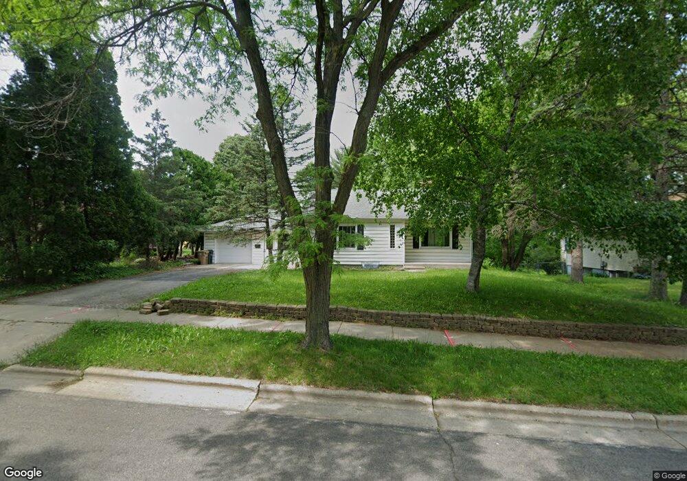
4922 Raymond Rd Madison, WI 53711
Orchard Ridge NeighborhoodEstimated Value: $320,188 - $375,000
2
Beds
2
Baths
1,048
Sq Ft
$335/Sq Ft
Est. Value
About This Home
This home is located at 4922 Raymond Rd, Madison, WI 53711 and is currently estimated at $350,797, approximately $334 per square foot. 4922 Raymond Rd is a home located in Dane County with nearby schools including Orchard Ridge Elementary School, Toki Middle School, and Vel Phillips Memorial High School.
Ownership History
Date
Name
Owned For
Owner Type
Purchase Details
Closed on
Jun 18, 2010
Sold by
Hilst Kathryn L and Willett Kathryn L
Bought by
Hunter Travis K and Hunter Annaliese C
Current Estimated Value
Home Financials for this Owner
Home Financials are based on the most recent Mortgage that was taken out on this home.
Original Mortgage
$150,000
Outstanding Balance
$99,986
Interest Rate
4.86%
Mortgage Type
VA
Estimated Equity
$250,811
Create a Home Valuation Report for This Property
The Home Valuation Report is an in-depth analysis detailing your home's value as well as a comparison with similar homes in the area
Home Values in the Area
Average Home Value in this Area
Purchase History
| Date | Buyer | Sale Price | Title Company |
|---|---|---|---|
| Hunter Travis K | $150,000 | None Available |
Source: Public Records
Mortgage History
| Date | Status | Borrower | Loan Amount |
|---|---|---|---|
| Open | Hunter Travis K | $150,000 |
Source: Public Records
Tax History Compared to Growth
Tax History
| Year | Tax Paid | Tax Assessment Tax Assessment Total Assessment is a certain percentage of the fair market value that is determined by local assessors to be the total taxable value of land and additions on the property. | Land | Improvement |
|---|---|---|---|---|
| 2024 | $10,674 | $306,200 | $99,600 | $206,600 |
| 2023 | $5,094 | $283,500 | $92,200 | $191,300 |
| 2021 | $4,605 | $218,200 | $71,000 | $147,200 |
| 2020 | $4,612 | $208,800 | $67,900 | $140,900 |
| 2019 | $4,322 | $195,100 | $63,500 | $131,600 |
| 2018 | $3,954 | $179,000 | $58,300 | $120,700 |
| 2017 | $3,887 | $170,000 | $58,300 | $111,700 |
| 2016 | $3,502 | $149,400 | $53,000 | $96,400 |
| 2015 | $3,539 | $143,700 | $63,600 | $80,100 |
| 2014 | $3,404 | $143,700 | $63,600 | $80,100 |
| 2013 | $3,380 | $139,500 | $61,700 | $77,800 |
Source: Public Records
Map
Nearby Homes
- 1718 Reetz Rd
- 4922 Knox Ln
- 2201 Tawhee Dr
- 2329 Carling Dr Unit 3
- 2333 Carling Dr Unit 3
- 1417 Reetz Rd
- 4610 Jenewein Rd
- 2218 Teal Dr
- 5201 Hammersley Rd
- 2018 Helene Pkwy
- 403 Williamsburg Way Ct Unit 403
- 2118 Gilbert Rd
- 4321 Crawford Dr
- 5701 Bartlett Ln
- 5517 Dorsett Dr
- 2621 Smithfield Dr Unit 3
- 4301 Nakoma Rd
- 5826 Balsam Rd
- 5726 Hempstead Rd
- 4211 Wanetah Trail
- 4926 Raymond Rd
- 4918 Raymond Rd
- 4933 Black Oak Dr
- 4930 Raymond Rd
- 4914 Raymond Rd
- 4937 Black Oak Dr
- 4934 Raymond Rd
- 1999 Shafer Dr
- 4917 Raymond Rd
- 4941 Black Oak Dr
- 4914 Black Oak Dr
- 4905 Raymond Rd
- 4938 Raymond Rd
- 4934 Black Oak Dr
- 2002 Shafer Dr
- 2001 Shafer Dr
- 4945 Black Oak Dr
- 4910 Black Oak Dr
- 4938 Black Oak Dr
- 1902 Kenneth St