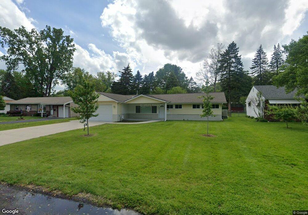
4923 Cedarhurst Rd Toledo, OH 43613
DeVeaux NeighborhoodEstimated Value: $170,000 - $179,609
3
Beds
2
Baths
1,196
Sq Ft
$147/Sq Ft
Est. Value
About This Home
This home is located at 4923 Cedarhurst Rd, Toledo, OH 43613 and is currently estimated at $175,402, approximately $146 per square foot. 4923 Cedarhurst Rd is a home located in Lucas County with nearby schools including Elmhurst Elementary School and Start High School.
Ownership History
Date
Name
Owned For
Owner Type
Purchase Details
Closed on
Apr 19, 2002
Sold by
Pettit Emerson E and Foley Marie
Bought by
Monroe Donald A
Current Estimated Value
Home Financials for this Owner
Home Financials are based on the most recent Mortgage that was taken out on this home.
Original Mortgage
$80,700
Outstanding Balance
$32,375
Interest Rate
6.93%
Estimated Equity
$143,027
Create a Home Valuation Report for This Property
The Home Valuation Report is an in-depth analysis detailing your home's value as well as a comparison with similar homes in the area
Home Values in the Area
Average Home Value in this Area
Purchase History
| Date | Buyer | Sale Price | Title Company |
|---|---|---|---|
| Monroe Donald A | $95,000 | -- |
Source: Public Records
Mortgage History
| Date | Status | Borrower | Loan Amount |
|---|---|---|---|
| Open | Monroe Donald A | $80,700 |
Source: Public Records
Tax History
| Year | Tax Paid | Tax Assessment Tax Assessment Total Assessment is a certain percentage of the fair market value that is determined by local assessors to be the total taxable value of land and additions on the property. | Land | Improvement |
|---|---|---|---|---|
| 2025 | $580 | $41,895 | $9,100 | $32,795 |
| 2024 | $1,054 | $41,895 | $9,100 | $32,795 |
| 2023 | $1,918 | $36,960 | $8,085 | $28,875 |
| 2022 | $1,920 | $36,960 | $8,085 | $28,875 |
| 2021 | $2,520 | $36,960 | $8,085 | $28,875 |
| 2020 | $2,407 | $30,765 | $6,720 | $24,045 |
| 2019 | $2,331 | $30,765 | $6,720 | $24,045 |
| 2018 | $2,275 | $30,765 | $6,720 | $24,045 |
| 2017 | $2,179 | $27,615 | $7,665 | $19,950 |
| 2016 | $2,194 | $78,900 | $21,900 | $57,000 |
| 2015 | $2,214 | $78,900 | $21,900 | $57,000 |
| 2014 | $1,737 | $27,620 | $7,670 | $19,950 |
| 2013 | $1,737 | $27,620 | $7,670 | $19,950 |
Source: Public Records
Map
Nearby Homes
- 5111 Elaine Dr
- 2849 W Laskey Rd
- 5045 Fairgreen Dr
- 5103 Fairgreen Dr
- 2834 Wyndale Rd
- 4812 Secor Rd
- 5720 Secor Rd
- 5143 Fairgreen Dr
- 2846 Elsie Ave
- 5163 Fairgreen Dr
- 4726 Bowen Rd
- 3158 Oak Grove Place
- 2842 Oak Grove Place
- 3016 Lambert Dr
- 2645 Boxwood Rd
- 5215 Secor Rd
- 2820 Eldora Dr
- 2313 Oak Grove Place
- 4932 Bales Rd
- 4914 Bales Rd
- 4931 Cedarhurst Rd
- 4915 Cedarhurst Rd
- 4907 Cedarhurst Rd
- 4926 Elmhurst Rd
- 4918 Elmhurst Rd
- 4941 Cedarhurst Rd
- 3051 W Laskey Rd
- 4932 Elmhurst Rd
- 4912 Elmhurst Rd
- 4922 Cedarhurst Rd
- 3059 W Laskey Rd
- 4930 Cedarhurst Rd
- 4914 Cedarhurst Rd
- 4861 Cedarhurst Rd
- 4904 Elmhurst Rd
- 3065 W Laskey Rd
- 3029 W Laskey Rd
- 4906 Cedarhurst Rd
- 4862 Elmhurst Rd
- 4942 Elmhurst Rd
Your Personal Tour Guide
Ask me questions while you tour the home.