Studio
1
Bath
3,000
Sq Ft
108,900
Sq Ft Lot
About This Home
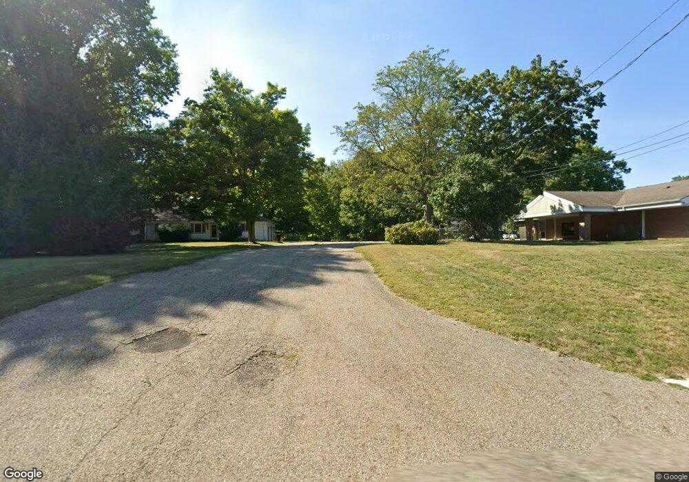
This home is located at 4926 Darrow Rd, Stow, OH 44224. 4926 Darrow Rd is a home located in Summit County with nearby schools including Stow-Munroe Falls High School, Primrose School of Hudson, and Holy Family Elementary School.
Ownership History
Date
Name
Owned For
Owner Type
Purchase Details
Closed on
Nov 12, 2020
Sold by
David Worhatch S
Bought by
City Of Stow
Purchase Details
Closed on
Mar 24, 1995
Sold by
Hendrix Jean I
Bought by
Worhatch S David
Home Financials for this Owner
Home Financials are based on the most recent Mortgage that was taken out on this home.
Original Mortgage
$98,000
Interest Rate
8.82%
Mortgage Type
Commercial
Create a Home Valuation Report for This Property
The Home Valuation Report is an in-depth analysis detailing your home's value as well as a comparison with similar homes in the area
Home Values in the Area
Average Home Value in this Area
Purchase History
| Date | Buyer | Sale Price | Title Company |
|---|---|---|---|
| City Of Stow | $5,992 | Or For The City Of Stow | |
| Worhatch S David | $158,779 | -- |
Source: Public Records
Mortgage History
| Date | Status | Borrower | Loan Amount |
|---|---|---|---|
| Previous Owner | Worhatch S David | $98,000 |
Source: Public Records
Map
Nearby Homes
- 1525 Spruce Hill Dr
- 0 Hibbard Dr
- 5123 Sodalite Dr
- 5091 Ridge Meadow Dr
- 4623 Cox Dr
- 2279 Becket Cir
- 2352 Becket Cir
- V/L Norton Rd
- 5150 Bayside Lake Blvd
- 1921-1929 Ritchie Rd
- 2221 Crockett Cir
- 5163 Beckett Ridge
- 1995 Weston Dr
- 1953 Arndale Rd
- 4424 Timberdale Dr Unit 4428
- V/L Housley Rd
- 2344 Echo Valley Dr
- 4534 Foresthill Rd
- 2055-2059 Bryn Mawr Dr
- 5866 Ogilby Dr
- 4916 Darrow Rd
- 1505 Mctaggart Ct
- 1505 Mctaggart Ct
- 4902 Darrow Rd
- 4901 Mctaggart Ct
- 1540 Mctaggart Rd
- 4963 Darrow Rd
- 4886 Darrow Rd
- 1530 Mctaggart Rd
- 0 Darrow Rd Unit 4014947
- 0 Darrow Rd Unit 4110073
- 7B Cedar Crest Ln
- 4880 Cedar Crest Ln
- 4876 Cedar Crest Ln
- 4891 Cedar Crest Ln
- 4872 Darrow Rd
- 4978 Cedar Crest Ln
- 1537 Mctaggart Rd
- 4887 Cedar Crest Ln
- 1520 Mctaggart Rd
Your Personal Tour Guide
Ask me questions while you tour the home.