Estimated Value: $155,000 - $467,214
2
Beds
1
Bath
964
Sq Ft
$323/Sq Ft
Est. Value
About This Home
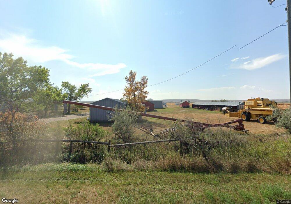
This home is located at 4927 Highway 363, Malta, MT 59538 and is currently estimated at $311,107, approximately $322 per square foot. 4927 Highway 363 is a home located in Phillips County with nearby schools including Malta Elementary School, Loring Colony School, and Malta Middle School.
Create a Home Valuation Report for This Property
The Home Valuation Report is an in-depth analysis detailing your home's value as well as a comparison with similar homes in the area
Tax History
| Year | Tax Paid | Tax Assessment Tax Assessment Total Assessment is a certain percentage of the fair market value that is determined by local assessors to be the total taxable value of land and additions on the property. | Land | Improvement |
|---|---|---|---|---|
| 2025 | $3,964 | $242,559 | $0 | $0 |
| 2024 | $4,216 | $203,849 | $0 | $0 |
| 2023 | $4,244 | $203,849 | $0 | $0 |
| 2022 | $4,120 | $202,235 | $0 | $0 |
| 2021 | $1,831 | $202,235 | $0 | $0 |
| 2020 | $3,987 | $201,224 | $0 | $0 |
| 2019 | $3,916 | $201,224 | $0 | $0 |
| 2018 | $3,836 | $197,605 | $0 | $0 |
| 2017 | $1,744 | $197,605 | $0 | $0 |
| 2016 | $3,825 | $191,217 | $0 | $0 |
| 2015 | $1,658 | $191,217 | $0 | $0 |
| 2014 | $1,398 | $99,913 | $0 | $0 |
Source: Public Records
Map
Nearby Homes
- 146 Acres Secondary State Highway 363
- 9021 S Wagner Rd
- 7011 Us Hwy 191 S
- 532 S 4th Ave W
- 328 S 5th St W
- 138 S 1st St W
- 108 S 4th St W
- 502 S Central Ave
- 11 S 12th St E
- 46 S 1st St E
- 15 S 12th St E
- 147 S 1st Ave E
- 216 & 216 1/2 S 8th St E
- 337 S 4th St E
- 331 S 6th St E
- 814 S 5th Ave E
- 550 S 2nd St E
- NHN Assiniboine Rd
- 315 5th St E
- 3330 Strater Rd
Your Personal Tour Guide
Ask me questions while you tour the home.