4928 Hamilton Rd Lagrange, GA 30241
Estimated Value: $387,000 - $577,122
3
Beds
3
Baths
2,240
Sq Ft
$211/Sq Ft
Est. Value
About This Home
This home is located at 4928 Hamilton Rd, Lagrange, GA 30241 and is currently estimated at $473,041, approximately $211 per square foot. 4928 Hamilton Rd is a home located in Troup County with nearby schools including Rosemont Elementary School, Whitesville Road Elementary School, and Berta Weathersbee Elementary School.
Ownership History
Date
Name
Owned For
Owner Type
Purchase Details
Closed on
Mar 12, 2014
Sold by
Carlisle William Gerald
Bought by
Lesley Carlisle
Current Estimated Value
Purchase Details
Closed on
Jul 17, 2009
Sold by
Carlisle William Gerald
Bought by
Upchurch Robert T
Purchase Details
Closed on
Feb 21, 1975
Sold by
Mrs C L Ward
Bought by
Carlisle William Gerald
Create a Home Valuation Report for This Property
The Home Valuation Report is an in-depth analysis detailing your home's value as well as a comparison with similar homes in the area
Purchase History
| Date | Buyer | Sale Price | Title Company |
|---|---|---|---|
| Lesley Carlisle | -- | -- | |
| Upchurch Robert T | $4,000 | -- | |
| Upchurch Robert T | $4,000 | -- | |
| Carlisle William Gerald | -- | -- |
Source: Public Records
Tax History
| Year | Tax Paid | Tax Assessment Tax Assessment Total Assessment is a certain percentage of the fair market value that is determined by local assessors to be the total taxable value of land and additions on the property. | Land | Improvement |
|---|---|---|---|---|
| 2025 | $3,060 | $180,088 | $93,120 | $86,968 |
| 2024 | $4,406 | $161,544 | $99,680 | $61,864 |
| 2023 | $4,057 | $148,768 | $99,680 | $49,088 |
| 2022 | $2,003 | $140,808 | $94,680 | $46,128 |
| 2021 | $1,981 | $136,828 | $95,560 | $41,268 |
| 2020 | $1,962 | $136,828 | $95,560 | $41,268 |
| 2019 | $1,971 | $137,728 | $95,560 | $42,168 |
| 2018 | $1,837 | $133,896 | $95,560 | $38,336 |
| 2017 | $1,820 | $133,896 | $95,560 | $38,336 |
| 2016 | $1,772 | $132,874 | $95,586 | $37,288 |
| 2015 | $1,758 | $132,874 | $95,586 | $37,288 |
| 2014 | $1,642 | $130,912 | $95,586 | $35,325 |
| 2013 | -- | $133,042 | $95,586 | $37,455 |
Source: Public Records
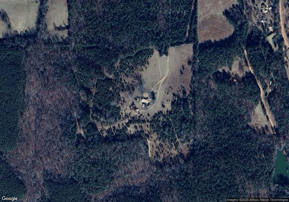
Map
Nearby Homes
- 111 Prestwick Dr
- 246 S Smith Rd
- 5656 Hamilton Rd
- 5656 Hamilton Rd
- 113 Glenn Eagle Point
- 0 Briley Rd Unit 10582531
- 0 Briley Rd Unit 214353
- 0 Smokey Rd Unit 10570471
- 264 S Glenn Rd
- 0 Robert Hodnett Rd Unit 26695789
- 0 Robert Hodnett Rd Unit 10709308
- 137 Robertson Rd
- 158 S Glenn Rd
- 37.23 ACRES / 0 Smokey Rd
- 417 Tucker Rd
- 0 Lower Big Springs Rd Unit 10718109
- 0 Lower Big Springs Rd Unit 26695797
- 0 Salem Lot 3 Rd Unit LOT 3
- 0 Salem Lot 1 Rd Unit LOT 1
- 130 Hamilton Lake Dr
- 5086 Hamilton Rd
- 5142 Hamilton Rd
- 5102 Hamilton Rd
- 5090 Hamilton Rd
- 5048 Hamilton Rd
- 5182 Hamilton Rd
- 4964 Hamilton Rd
- 5015 Hamilton Rd
- 114 Hardy Rd
- 0 Hardy Rd Unit 192443
- 0 Hardy Rd Unit 8770207
- 0 Hardy Rd Unit 8967703
- 391 Burgess Rd
- 330 Hardy Rd
- 196 Hardy Rd
- 4865 Hamilton Rd
- 5318 Hamilton Rd
- 5328 Hamilton Rd
- 4752 Hamilton Rd
- 4806 Hamilton Rd
Your Personal Tour Guide
Ask me questions while you tour the home.