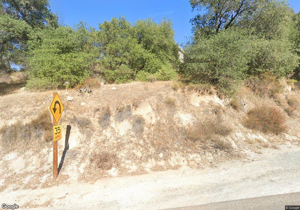
4928 Highway 78 Santa Ysabel, CA 92070
Estimated Value: $735,391 - $1,310,000
2
Beds
2
Baths
2,423
Sq Ft
$377/Sq Ft
Est. Value
About This Home
This home is located at 4928 Highway 78, Santa Ysabel, CA 92070 and is currently estimated at $913,348, approximately $376 per square foot. 4928 Highway 78 is a home with nearby schools including Spencer Valley Elementary School and Julian High School.
Ownership History
Date
Name
Owned For
Owner Type
Purchase Details
Closed on
Sep 1, 2014
Sold by
Durbin Dale H
Bought by
Kendall Donna J
Current Estimated Value
Purchase Details
Closed on
May 15, 2003
Sold by
Durbin Mitchell C
Bought by
Durbin Mitchell C
Purchase Details
Closed on
Jul 8, 1994
Sold by
Durbin Mitchell C and Durbin Lois H
Bought by
Durbin Mitchell C and Durbin Lois H
Create a Home Valuation Report for This Property
The Home Valuation Report is an in-depth analysis detailing your home's value as well as a comparison with similar homes in the area
Home Values in the Area
Average Home Value in this Area
Purchase History
| Date | Buyer | Sale Price | Title Company |
|---|---|---|---|
| Kendall Donna J | -- | None Available | |
| Durbin Mitchell C | -- | -- | |
| Durbin Mitchell C | -- | -- | |
| Durbin Mitchell C | -- | -- |
Source: Public Records
Tax History Compared to Growth
Tax History
| Year | Tax Paid | Tax Assessment Tax Assessment Total Assessment is a certain percentage of the fair market value that is determined by local assessors to be the total taxable value of land and additions on the property. | Land | Improvement |
|---|---|---|---|---|
| 2025 | $3,880 | $359,831 | $41,230 | $318,601 |
| 2024 | $3,880 | $352,776 | $40,422 | $312,354 |
| 2023 | $3,811 | $345,860 | $39,630 | $306,230 |
| 2022 | $3,753 | $339,079 | $38,853 | $300,226 |
| 2021 | $3,703 | $332,432 | $38,092 | $294,340 |
| 2020 | $3,661 | $329,024 | $37,702 | $291,322 |
| 2019 | $3,598 | $322,573 | $36,963 | $285,610 |
| 2018 | $3,554 | $316,249 | $36,239 | $280,010 |
| 2017 | $3,486 | $310,049 | $35,529 | $274,520 |
| 2016 | $3,415 | $303,971 | $34,833 | $269,138 |
| 2015 | $3,363 | $299,406 | $34,310 | $265,096 |
| 2014 | $3,293 | $293,542 | $33,638 | $259,904 |
Source: Public Records
Map
Nearby Homes
- 5049 California 78
- 1210 Lakedale Rd
- 1308 Lakedale Rd
- 4700 Highway 78
- 4700 Ca-78
- 4756 Glenside Rd
- 0 California 79
- 0 California 79 Unit 4 210011826
- 4026 Highway 78
- 2464 Wynola Rd
- 1209 Farmer Rd
- 2716 Payson Dr
- 2670 Lot A Rd
- 0 Pinezanita Ln
- 2013 3rd St
- 3318 Black Oak Ln Unit 1
- 2380 Cape Horn Ave
- 2396 Cape Horn Ave
- 3252 Pine Hills Rd
- 3280 Black Oak Ln
- 4904 Highway 78
- 4876-78
- 000 Durbin Lane Highway 78
- 4940 California 78
- 4940 Highway 78
- 5049 Highway 78
- 1202 Lakedale Rd
- 1201 Lakedale Rd
- 1125 River Wood Rd
- 1125 Riverwood Rd
- 4950 Highway 78
- 1139 Riverwood Rd
- 1223 Lakedale Rd
- 1222 Lakedale Rd
- 1177 Riverwood Rd
- 1225 River Wood Rd
- 1234 Lakedale Rd
- 1235 Lakedale Rd
- 1210 Riverwood Rd Unit 81
- 1210 Riverwood Rd
