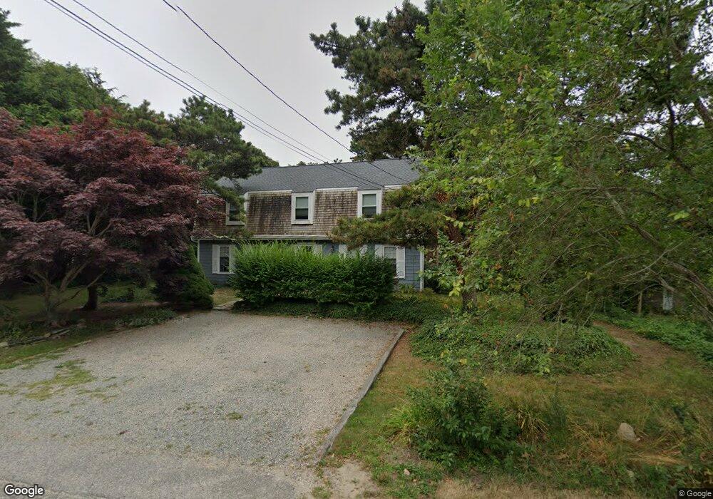
493 Campground Rd Eastham, MA 02642
Estimated Value: $1,079,000 - $1,143,318
4
Beds
4
Baths
2,352
Sq Ft
$473/Sq Ft
Est. Value
About This Home
This home is located at 493 Campground Rd, Eastham, MA 02642 and is currently estimated at $1,113,080, approximately $473 per square foot. 493 Campground Rd is a home located in Barnstable County with nearby schools including Eastham Elementary School, Nauset Regional Middle School, and Nauset Regional High School.
Ownership History
Date
Name
Owned For
Owner Type
Purchase Details
Closed on
May 12, 2017
Sold by
Oswald Stephen and Oswald Lisa F
Bought by
Molbach Thomas and Molbach Veronika
Current Estimated Value
Home Financials for this Owner
Home Financials are based on the most recent Mortgage that was taken out on this home.
Original Mortgage
$406,400
Outstanding Balance
$338,342
Interest Rate
4.14%
Mortgage Type
New Conventional
Estimated Equity
$774,738
Purchase Details
Closed on
Oct 24, 2003
Sold by
Fellers Amy S
Bought by
Oswald Lisa A and Oswald Stephen
Home Financials for this Owner
Home Financials are based on the most recent Mortgage that was taken out on this home.
Original Mortgage
$300,000
Interest Rate
6.15%
Mortgage Type
Purchase Money Mortgage
Create a Home Valuation Report for This Property
The Home Valuation Report is an in-depth analysis detailing your home's value as well as a comparison with similar homes in the area
Home Values in the Area
Average Home Value in this Area
Purchase History
| Date | Buyer | Sale Price | Title Company |
|---|---|---|---|
| Molbach Thomas | $508,000 | -- | |
| Oswald Lisa A | $414,000 | -- |
Source: Public Records
Mortgage History
| Date | Status | Borrower | Loan Amount |
|---|---|---|---|
| Open | Molbach Thomas | $406,400 | |
| Previous Owner | Oswald Lisa A | $350,000 | |
| Previous Owner | Oswald Lisa A | $300,000 | |
| Previous Owner | Oswald Lisa A | $89,000 |
Source: Public Records
Tax History Compared to Growth
Tax History
| Year | Tax Paid | Tax Assessment Tax Assessment Total Assessment is a certain percentage of the fair market value that is determined by local assessors to be the total taxable value of land and additions on the property. | Land | Improvement |
|---|---|---|---|---|
| 2025 | $7,463 | $968,000 | $406,300 | $561,700 |
| 2024 | $6,319 | $901,400 | $394,500 | $506,900 |
| 2023 | $5,717 | $789,600 | $340,900 | $448,700 |
| 2022 | $5,414 | $631,000 | $304,400 | $326,600 |
| 2021 | $5,306 | $578,000 | $276,700 | $301,300 |
| 2020 | $4,957 | $568,500 | $282,400 | $286,100 |
| 2019 | $4,587 | $556,000 | $274,200 | $281,800 |
| 2018 | $4,527 | $542,100 | $266,200 | $275,900 |
| 2017 | $4,226 | $534,900 | $260,900 | $274,000 |
| 2016 | $3,373 | $453,400 | $186,400 | $267,000 |
| 2015 | $3,092 | $435,500 | $182,700 | $252,800 |
Source: Public Records
Map
Nearby Homes
- 160 Old Farm Ln
- 495 Campground Rd
- 505 Campground Rd
- 491 Campground Rd
- 460 Campground Rd
- 150 Old Farm Ln
- 515 Campground Rd
- 480 Campground Rd
- 0 Campground Rd Unit 2039065
- 0 Campground Rd Unit 7026704
- 0 Campground Rd Unit 9900010
- 0 Campground Rd Unit C 2020507
- 0 Campground Rd Unit C 2020395
- 0 Campground Rd Unit C 2020416
- 0 Campground Rd Unit 2 2006266
- 0 Campground Rd Unit 1 2006260
- 0 Campground Rd Unit 3 2006264
- 0 Campground Rd Unit 4
- 500 Campground Rd
- 155 Old Farm Ln