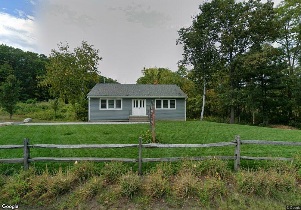
493 Massachusetts Ave Lunenburg, MA 01462
Estimated Value: $258,232
--
Bed
--
Bath
1,200
Sq Ft
$215/Sq Ft
Est. Value
About This Home
This home is located at 493 Massachusetts Ave, Lunenburg, MA 01462 and is currently estimated at $258,232, approximately $215 per square foot. 493 Massachusetts Ave is a home located in Worcester County with nearby schools including Lunenburg Primary School and Lunenburg High School.
Ownership History
Date
Name
Owned For
Owner Type
Purchase Details
Closed on
Nov 2, 2021
Sold by
Cole Tanner S
Bought by
Cole Kimberly A
Current Estimated Value
Home Financials for this Owner
Home Financials are based on the most recent Mortgage that was taken out on this home.
Original Mortgage
$1,250,000
Outstanding Balance
$1,146,992
Interest Rate
3.09%
Mortgage Type
Stand Alone Refi Refinance Of Original Loan
Estimated Equity
-$888,760
Purchase Details
Closed on
Jul 8, 2016
Sold by
Victor Szocik Ret
Bought by
Cole Tanner and Cole Kimberly
Create a Home Valuation Report for This Property
The Home Valuation Report is an in-depth analysis detailing your home's value as well as a comparison with similar homes in the area
Home Values in the Area
Average Home Value in this Area
Purchase History
| Date | Buyer | Sale Price | Title Company |
|---|---|---|---|
| Cole Kimberly A | -- | None Available | |
| Cole Kimberly A | -- | None Available | |
| Cole Tanner | $129,000 | -- |
Source: Public Records
Mortgage History
| Date | Status | Borrower | Loan Amount |
|---|---|---|---|
| Open | Cole Kimberly A | $1,250,000 | |
| Closed | Cole Kimberly A | $1,250,000 |
Source: Public Records
Tax History Compared to Growth
Tax History
| Year | Tax Paid | Tax Assessment Tax Assessment Total Assessment is a certain percentage of the fair market value that is determined by local assessors to be the total taxable value of land and additions on the property. | Land | Improvement |
|---|---|---|---|---|
| 2025 | $2,553 | $177,800 | $135,500 | $42,300 |
| 2024 | $2,400 | $170,200 | $127,900 | $42,300 |
| 2023 | $2,199 | $150,400 | $121,200 | $29,200 |
| 2022 | $2,673 | $155,500 | $121,200 | $34,300 |
| 2020 | $2,290 | $126,400 | $120,300 | $6,100 |
| 2019 | $2,361 | $126,400 | $120,300 | $6,100 |
| 2018 | $2,427 | $123,200 | $104,900 | $18,300 |
| 2017 | $2,855 | $142,900 | $104,900 | $38,000 |
| 2016 | $2,841 | $144,900 | $104,900 | $40,000 |
Source: Public Records
Map
Nearby Homes
- 77 Electric Ave
- 77 Upland Ave
- 6 Riley Rd Unit 6
- 711 Massachusetts Ave Unit 2
- 23 Tilton Ave
- 759 Northfield Rd
- 319 Highland St
- 756 Northfield Rd
- 1083 Northfield Rd
- 63 Holman St
- 200-365 Hollis Rd
- 29 West St
- 31 School St
- 665 Townsend St
- 9 Fairview Rd
- 452 Hollis Rd
- 35 Leominster Rd
- 141 Pleasant St
- 9 Pleasant St
- 62 Shawna St
- 496 Mass Ave
- 481 Massachusetts Ave
- 496 Massachusetts Ave
- 506 Massachusetts Ave
- 512 Massachusetts Ave
- 473 Massachusetts Ave
- 474 Massachusetts Ave
- 520 Massachusetts Ave
- 467 Massachusetts Ave
- 101 Beal St
- 460 Massachusetts Ave
- 466 Massachusetts Ave
- 528 Massachusetts Ave
- 54 Chase Rd
- 552 Massachusetts Ave
- 141 Beal St
- 33 Hollis Rd
- 41 Hollis Rd
- 163 Beal St
- 558 Massachusetts Ave