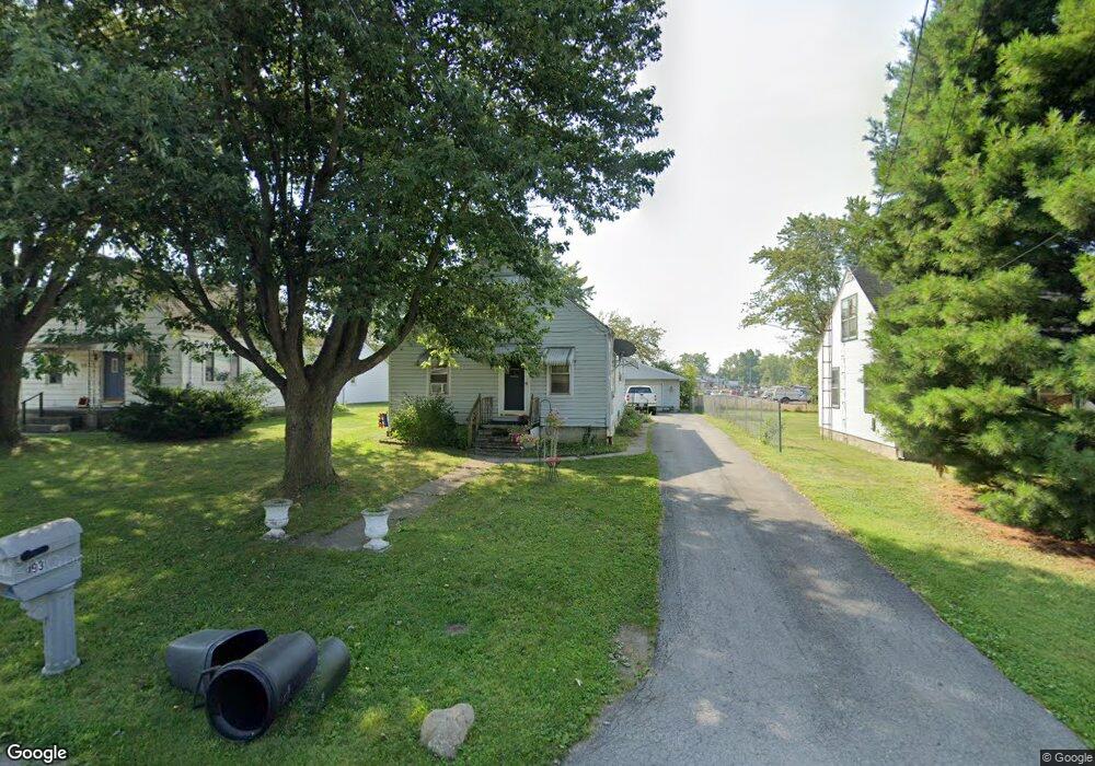
493 Osgood St Marion, OH 43302
Estimated Value: $93,000 - $157,000
4
Beds
1
Bath
1,214
Sq Ft
$114/Sq Ft
Est. Value
About This Home
This home is located at 493 Osgood St, Marion, OH 43302 and is currently estimated at $138,648, approximately $114 per square foot. 493 Osgood St is a home located in Marion County with nearby schools including William McKinley Elementary School, Ulysses S. Grant Middle School, and Harding High School.
Ownership History
Date
Name
Owned For
Owner Type
Purchase Details
Closed on
May 2, 2007
Sold by
Leaich Pamela J
Bought by
Hsbc Mortgage Services Inc
Current Estimated Value
Purchase Details
Closed on
Jan 28, 2005
Sold by
Hiles Samuel W
Bought by
Leaich Pamela J
Home Financials for this Owner
Home Financials are based on the most recent Mortgage that was taken out on this home.
Original Mortgage
$80,000
Interest Rate
8.75%
Mortgage Type
Assumption
Purchase Details
Closed on
Sep 4, 2002
Bought by
Higley Robert M
Create a Home Valuation Report for This Property
The Home Valuation Report is an in-depth analysis detailing your home's value as well as a comparison with similar homes in the area
Home Values in the Area
Average Home Value in this Area
Purchase History
| Date | Buyer | Sale Price | Title Company |
|---|---|---|---|
| Hsbc Mortgage Services Inc | $79,273 | None Available | |
| Leaich Pamela J | $80,000 | None Available | |
| Higley Robert M | $78,000 | -- |
Source: Public Records
Mortgage History
| Date | Status | Borrower | Loan Amount |
|---|---|---|---|
| Previous Owner | Leaich Pamela J | $80,000 |
Source: Public Records
Tax History Compared to Growth
Tax History
| Year | Tax Paid | Tax Assessment Tax Assessment Total Assessment is a certain percentage of the fair market value that is determined by local assessors to be the total taxable value of land and additions on the property. | Land | Improvement |
|---|---|---|---|---|
| 2024 | $869 | $22,630 | $3,080 | $19,550 |
| 2023 | $869 | $22,630 | $3,080 | $19,550 |
| 2022 | $807 | $22,630 | $3,080 | $19,550 |
| 2021 | $757 | $19,110 | $2,680 | $16,430 |
| 2020 | $831 | $19,110 | $2,680 | $16,430 |
| 2019 | $1,342 | $19,110 | $2,680 | $16,430 |
| 2018 | $891 | $14,710 | $2,680 | $12,030 |
| 2017 | $592 | $14,710 | $2,680 | $12,030 |
| 2016 | $587 | $14,710 | $2,680 | $12,030 |
| 2015 | $580 | $14,200 | $2,400 | $11,800 |
| 2014 | $581 | $14,200 | $2,400 | $11,800 |
| 2012 | $635 | $15,430 | $2,230 | $13,200 |
Source: Public Records
Map
Nearby Homes
- 1178 Cheney Ave
- 989 Davids St
- 981 Davids St
- 0 Independence Ave
- 0 Bellefontaine Ave
- 772 Sheridan Rd
- 786 Sheridan Rd
- 757 Merkle Ave
- 720 Woodrow Ave
- 324 Carner Ave
- 796 Woodrow Ave
- 363 S Prospect St
- 1043 Harding Memorial Pkwy
- 797 Waples Ave
- 681 Davids St
- 668 Uncapher Ave
- 645 Henry St
- Tract 1-6 Southland Pkwy
- 618 Windsor St
- 889 Oak Grove Ave