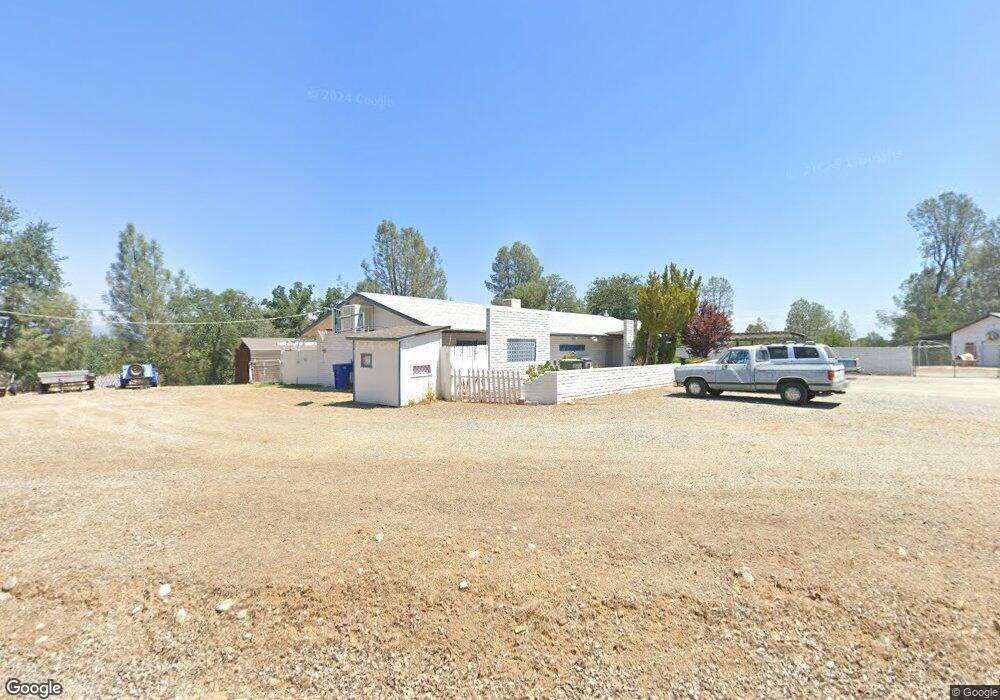
493 Wright Dr Redding, CA 96003
Northpoint NeighborhoodEstimated Value: $252,000 - $325,000
Studio
--
Bath
--
Sq Ft
26,572
Sq Ft Lot
About This Home
This home is located at 493 Wright Dr, Redding, CA 96003 and is currently estimated at $280,000. 493 Wright Dr is a home located in Shasta County with nearby schools including Rocky Point Charter School.
Ownership History
Date
Name
Owned For
Owner Type
Purchase Details
Closed on
Feb 13, 2020
Sold by
Wright Ronald W
Bought by
Wright Ronald W and Wright Deborah Ann
Current Estimated Value
Home Financials for this Owner
Home Financials are based on the most recent Mortgage that was taken out on this home.
Original Mortgage
$300,000
Interest Rate
3.6%
Mortgage Type
Credit Line Revolving
Purchase Details
Closed on
Mar 17, 2006
Sold by
Wright Ronald Morgan and Wright Ronald Morgan William
Bought by
Wright Ronald W
Home Financials for this Owner
Home Financials are based on the most recent Mortgage that was taken out on this home.
Original Mortgage
$75,000
Interest Rate
6.18%
Mortgage Type
New Conventional
Create a Home Valuation Report for This Property
The Home Valuation Report is an in-depth analysis detailing your home's value as well as a comparison with similar homes in the area
Home Values in the Area
Average Home Value in this Area
Purchase History
| Date | Buyer | Sale Price | Title Company |
|---|---|---|---|
| Wright Ronald W | -- | Placer Title Company | |
| Wright Ronald W | -- | Chicago Title Co |
Source: Public Records
Mortgage History
| Date | Status | Borrower | Loan Amount |
|---|---|---|---|
| Closed | Wright Ronald W | $300,000 | |
| Closed | Wright Ronald W | $75,000 |
Source: Public Records
Tax History
| Year | Tax Paid | Tax Assessment Tax Assessment Total Assessment is a certain percentage of the fair market value that is determined by local assessors to be the total taxable value of land and additions on the property. | Land | Improvement |
|---|---|---|---|---|
| 2025 | $582 | $58,058 | $3,406 | $54,652 |
| 2024 | $569 | $56,921 | $3,340 | $53,581 |
| 2023 | $569 | $55,806 | $3,275 | $52,531 |
| 2022 | $553 | $54,712 | $3,211 | $51,501 |
| 2021 | $543 | $53,641 | $3,149 | $50,492 |
| 2020 | $540 | $53,092 | $3,117 | $49,975 |
| 2019 | $522 | $52,052 | $3,056 | $48,996 |
| 2018 | $520 | $51,033 | $2,997 | $48,036 |
| 2017 | $510 | $50,034 | $2,939 | $47,095 |
| 2016 | $487 | $49,054 | $2,882 | $46,172 |
| 2015 | $478 | $48,318 | $2,839 | $45,479 |
| 2014 | $480 | $47,373 | $2,784 | $44,589 |
Source: Public Records
Map
Nearby Homes
- 1318 Mountain Shadows Blvd
- 1237 Mountain Shadows Blvd
- 1220 Mountain Shadows Blvd Unit 263
- 4532 Hardwood Blvd
- 426 Milkwood Dr
- 4555 Underwood Dr
- 808 Butternut Trail
- 4672 Underwood Dr
- 4576 Hickory Trail
- 4160 Easter Ave
- 977 Tuberose Trail
- 880 Tuberose Trail
- 4098 Saint Patricks Ave
- 4719 Maple Trail
- 4521 White River Dr
- 458 Balsawood Dr
- 466 Balsawood Dr
- 4722 Maple Trail
- 410 Buckeye Terrace
- 448 Red Cedar Dr
- 813 Little Deer Ln
- 801 Little Deer Ln
- 495 Wright Dr
- 825 Little Deer Ln
- 787 Little Deer Ln
- 1005 Big Bear Ln
- 765 Little Deer Ln Unit 17
- 837 Little Deer Ln
- 4493 Hoopa Path
- 4493 Hoopa Path None
- 713 Little Deer Ln Unit 15
- 713 Little Deer Ln
- 1386 Mountain Shadows Blvd
- 1366 Mountain Shadows
- 1394 Mountain Shadows Blvd
- 1378 Mountain Shadows Blvd
- 691 Little Deer Ln
- 1395 Mountain Shadows Blvd
- 1325 Mountain Shadows Blvd
- 673 Little Deer Ln Unit 13
Your Personal Tour Guide
Ask me questions while you tour the home.