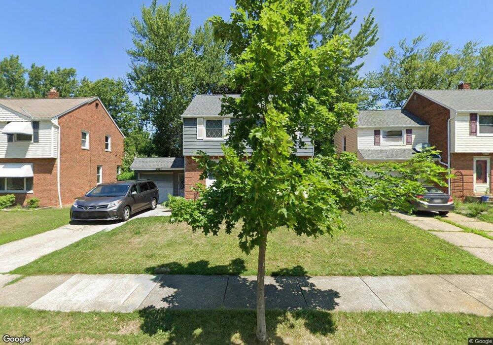
4931 Oakland Dr Cleveland, OH 44124
Estimated Value: $172,002 - $201,000
3
Beds
1
Bath
1,175
Sq Ft
$164/Sq Ft
Est. Value
About This Home
This home is located at 4931 Oakland Dr, Cleveland, OH 44124 and is currently estimated at $192,501, approximately $163 per square foot. 4931 Oakland Dr is a home located in Cuyahoga County with nearby schools including Sunview Elementary School, Greenview Upper Elementary School, and Memorial Junior High School.
Ownership History
Date
Name
Owned For
Owner Type
Purchase Details
Closed on
Aug 8, 1995
Sold by
Harter William M
Bought by
Stone Steven M and Stone Deborah J
Current Estimated Value
Home Financials for this Owner
Home Financials are based on the most recent Mortgage that was taken out on this home.
Original Mortgage
$94,500
Interest Rate
7.56%
Mortgage Type
New Conventional
Purchase Details
Closed on
Jan 1, 1975
Bought by
Harter Wm M and Harter Kathryn H
Create a Home Valuation Report for This Property
The Home Valuation Report is an in-depth analysis detailing your home's value as well as a comparison with similar homes in the area
Home Values in the Area
Average Home Value in this Area
Purchase History
| Date | Buyer | Sale Price | Title Company |
|---|---|---|---|
| Stone Steven M | $105,000 | -- | |
| Harter Wm M | -- | -- |
Source: Public Records
Mortgage History
| Date | Status | Borrower | Loan Amount |
|---|---|---|---|
| Closed | Stone Steven M | $94,500 |
Source: Public Records
Tax History Compared to Growth
Tax History
| Year | Tax Paid | Tax Assessment Tax Assessment Total Assessment is a certain percentage of the fair market value that is determined by local assessors to be the total taxable value of land and additions on the property. | Land | Improvement |
|---|---|---|---|---|
| 2024 | $3,668 | $52,080 | $10,150 | $41,930 |
| 2023 | $3,586 | $41,090 | $7,910 | $33,180 |
| 2022 | $3,566 | $41,090 | $7,910 | $33,180 |
| 2021 | $3,536 | $41,090 | $7,910 | $33,180 |
| 2020 | $3,316 | $33,670 | $6,480 | $27,200 |
| 2019 | $2,990 | $96,200 | $18,500 | $77,700 |
| 2018 | $2,974 | $33,670 | $6,480 | $27,200 |
| 2017 | $3,617 | $37,980 | $6,440 | $31,540 |
| 2016 | $3,590 | $37,980 | $6,440 | $31,540 |
| 2015 | $3,633 | $37,980 | $6,440 | $31,540 |
| 2014 | $3,633 | $38,750 | $6,580 | $32,170 |
Source: Public Records
Map
Nearby Homes
- 1333 Clearview Rd
- 4866 Fairlawn Rd
- 4800 Farnhurst Rd
- 1271 Dorsh Rd
- 5103 Eastover Rd
- 4781 Dorshwood Rd
- 4769 Edenwood Rd
- 1512 Parkside Cir
- 4669 Liberty Rd
- 4695 Mayfield Rd Unit A
- 4650 Liberty Rd
- 4685 Mayfield Rd Unit F
- 5227 E Farnhurst Rd
- 981 Hanley Rd
- 5079 Haverford Dr
- 5027 Bristol Ct
- 5144 Oakmont Dr
- 5268 Edenhurst Rd
- 5159 Haverford Dr
- 4880 Anderson Rd
- 4935 Oakland Dr
- 4927 Oakland Dr
- 4939 Oakland Dr
- 4923 Oakland Dr
- 4932 Edsal Dr
- 4928 Edsal Dr
- 4936 Edsal Dr
- 4940 Edsal Dr
- 4924 Edsal Dr
- 4947 Oakland Dr
- 4915 Oakland Dr
- 4936 Oakland Dr
- 4928 Oakland Dr
- 4916 Edsal Dr
- 4948 Edsal Dr
- 4940 Oakland Dr
- 4924 Oakland Dr
- 4951 Oakland Dr
- 4911 Oakland Dr
- 4948 Oakland Dr