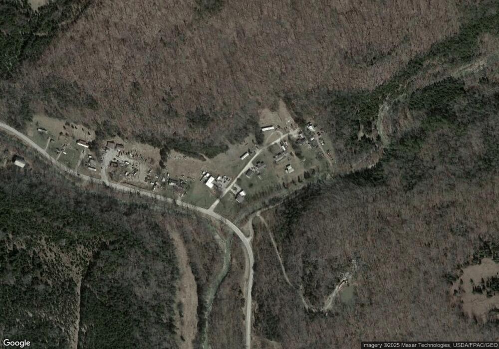
4932 State Route 247 West Union, OH 45693
Estimated Value: $138,000 - $188,000
3
Beds
2
Baths
1,296
Sq Ft
$128/Sq Ft
Est. Value
About This Home
This home is located at 4932 State Route 247, West Union, OH 45693 and is currently estimated at $166,333, approximately $128 per square foot. 4932 State Route 247 is a home located in Adams County with nearby schools including West Union Elementary School, West Union High School, and Adams County Christian School.
Ownership History
Date
Name
Owned For
Owner Type
Purchase Details
Closed on
Jul 18, 2020
Sold by
Holbrook Michael R
Bought by
Holbrook Michael R and Holbrook Emily
Current Estimated Value
Purchase Details
Closed on
Jul 18, 2014
Sold by
Lafferty Richard and Lafferty Joyce
Bought by
Jeffrey Adams Logging Inc
Home Financials for this Owner
Home Financials are based on the most recent Mortgage that was taken out on this home.
Original Mortgage
$150,000
Outstanding Balance
$114,084
Interest Rate
4.12%
Mortgage Type
New Conventional
Estimated Equity
$52,249
Purchase Details
Closed on
Sep 1, 1999
Sold by
Rice Judy L
Bought by
Holbrook Michael R
Purchase Details
Closed on
Aug 5, 1998
Sold by
Rice Howard M
Bought by
Rice Judy L
Purchase Details
Closed on
Jul 24, 1995
Bought by
Rice Howard M
Create a Home Valuation Report for This Property
The Home Valuation Report is an in-depth analysis detailing your home's value as well as a comparison with similar homes in the area
Home Values in the Area
Average Home Value in this Area
Purchase History
| Date | Buyer | Sale Price | Title Company |
|---|---|---|---|
| Holbrook Michael R | -- | None Available | |
| Jeffrey Adams Logging Inc | $260,000 | None Available | |
| Holbrook Michael R | $57,000 | -- | |
| Rice Judy L | -- | -- | |
| Rice Howard M | $5,500 | -- |
Source: Public Records
Mortgage History
| Date | Status | Borrower | Loan Amount |
|---|---|---|---|
| Open | Jeffrey Adams Logging Inc | $150,000 |
Source: Public Records
Tax History Compared to Growth
Tax History
| Year | Tax Paid | Tax Assessment Tax Assessment Total Assessment is a certain percentage of the fair market value that is determined by local assessors to be the total taxable value of land and additions on the property. | Land | Improvement |
|---|---|---|---|---|
| 2024 | $1,118 | $33,750 | $2,630 | $31,120 |
| 2023 | $1,125 | $33,750 | $2,630 | $31,120 |
| 2022 | $1,117 | $27,240 | $1,860 | $25,380 |
| 2021 | $977 | $27,240 | $1,860 | $25,380 |
| 2020 | $998 | $27,240 | $1,860 | $25,380 |
| 2019 | $998 | $27,240 | $1,860 | $25,380 |
| 2018 | $859 | $23,910 | $1,860 | $22,050 |
| 2017 | $844 | $23,910 | $1,860 | $22,050 |
| 2016 | $842 | $23,910 | $1,860 | $22,050 |
| 2015 | $855 | $25,130 | $2,660 | $22,470 |
| 2014 | $855 | $25,130 | $2,660 | $22,470 |
Source: Public Records
Map
Nearby Homes
- 405 Lookout View
- 4423 Pumpkin Ridge Rd
- 175 Hidden Acres Dr
- 144 ac Pumpkin Ridge Rd
- 4700 Ohio 247
- 585 High St
- 1082 E Walnut St
- 537 1st St
- 725 E Walnut St
- 271 Crawford Rd
- 286 & 290 S Market St
- 333 Crawford Rd
- 2060 Moores Run Rd
- 410 Owens Rd
- 526 E Walnut St
- 104 N Washington St
- 601 E Main St
- 3188 Ohio 125
- 216 S Market St
- 501 E Mulberry St
- 4934 State Route 247
- 4936 State Route 247
- 4930 State Route 247
- 180 Trotter Rd
- 1 Trotter Rd
- 4950 State Route 247
- 21 Trotter Rd
- 5175 State Route 247
- 4590 State Route 247
- 5292 State Route 247
- 65 Chester Grooms Rd
- 4463 Sr 247
- 69 Chester Grooms Rd
- 15 Chester Grooms Rd
- 993 Trent Rd
- 5540 State Route 247
- 885 Trent Rd
- 5636 State Route 247
- D Ohio 247
- A Ohio 247
