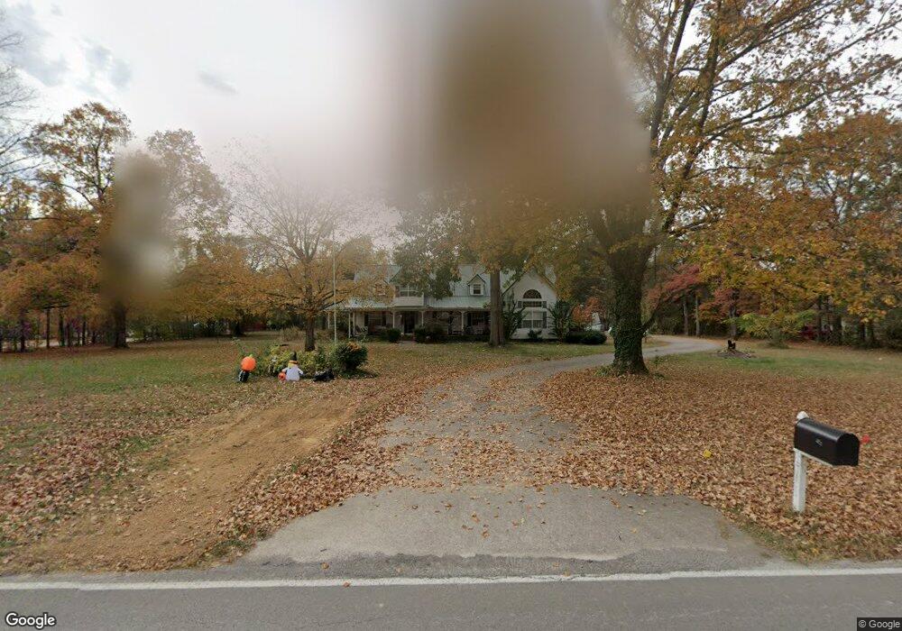
4933 Windrow Rd Rockvale, TN 37153
Estimated Value: $727,045 - $1,118,000
--
Bed
6
Baths
3,301
Sq Ft
$255/Sq Ft
Est. Value
About This Home
This home is located at 4933 Windrow Rd, Rockvale, TN 37153 and is currently estimated at $842,011, approximately $255 per square foot. 4933 Windrow Rd is a home located in Rutherford County with nearby schools including Rockvale Elementary School, Rockvale Middle School, and Rockvale High School.
Ownership History
Date
Name
Owned For
Owner Type
Purchase Details
Closed on
Jun 29, 2001
Sold by
Carter Bradley D and Carter Brenda
Bought by
Wallis Jeffery L and Wallis Deda B
Current Estimated Value
Home Financials for this Owner
Home Financials are based on the most recent Mortgage that was taken out on this home.
Original Mortgage
$146,000
Interest Rate
7.23%
Purchase Details
Closed on
Feb 26, 1998
Sold by
Springer Evelyn Wilson S
Bought by
Carter Bradley D and Carter Brenda
Home Financials for this Owner
Home Financials are based on the most recent Mortgage that was taken out on this home.
Original Mortgage
$170,000
Interest Rate
7.07%
Create a Home Valuation Report for This Property
The Home Valuation Report is an in-depth analysis detailing your home's value as well as a comparison with similar homes in the area
Home Values in the Area
Average Home Value in this Area
Purchase History
| Date | Buyer | Sale Price | Title Company |
|---|---|---|---|
| Wallis Jeffery L | $320,000 | -- | |
| Carter Bradley D | $94,000 | -- |
Source: Public Records
Mortgage History
| Date | Status | Borrower | Loan Amount |
|---|---|---|---|
| Closed | Carter Bradley D | $146,000 | |
| Previous Owner | Carter Bradley D | $170,000 |
Source: Public Records
Tax History Compared to Growth
Tax History
| Year | Tax Paid | Tax Assessment Tax Assessment Total Assessment is a certain percentage of the fair market value that is determined by local assessors to be the total taxable value of land and additions on the property. | Land | Improvement |
|---|---|---|---|---|
| 2025 | $2,579 | $137,475 | $27,700 | $109,775 |
| 2024 | $2,579 | $137,475 | $27,700 | $109,775 |
| 2023 | $2,587 | $137,900 | $27,700 | $110,200 |
| 2022 | $2,229 | $137,900 | $27,700 | $110,200 |
| 2021 | $2,192 | $98,775 | $16,375 | $82,400 |
| 2020 | $2,192 | $98,775 | $16,375 | $82,400 |
| 2019 | $2,192 | $98,775 | $16,375 | $82,400 |
Source: Public Records
Map
Nearby Homes
- 109 Lafayette Ct
- 5124 Old Salem Rd
- 5414 Old Salem Rd
- 3435 Middleton Dr
- 5407 Constantine Dr
- 4492 Old Salem Rd
- 5614 Constantine Dr
- 5509 E Overall Creek Rd
- 5415 Constantine Dr
- 331 Needham Blvd
- 5727 Dockside Dr
- 5665 Old Salem Rd
- The Alston A Plan at Shelton Square
- The Albany A Plan at Shelton Square
- The Hathaway Plan at Shelton Square
- The Hawkins Plan at Shelton Square
- Magellan Plan at Salem Landing
- 1850 Elevation JKL Plan at Salem Landing
- Armstrong Plan at Salem Landing
- Haley Plan at Salem Landing
- 4967 Windrow Rd
- 4699 Windrow Rd
- 1405 Trotters Ln
- 3015 Middleton Dr
- 4987 Windrow Rd
- 3011 Middleton Dr
- 1502 Jarratt Dr
- 3019 Middleton Dr
- 5027 Windrow Rd
- 1404 Trotters Ln
- 1411 Trotters Ln
- 3008 Berry Patch Trail
- 1503 Jarratt Dr
- 3004 Berry Patch Trail
- 3012 Berry Patch Trail
- 3023 Middleton Dr
- 1510 Jarratt Dr
- 1412 Trotters Ln
- 3008 Middleton Dr
- 1509 Jarratt Dr