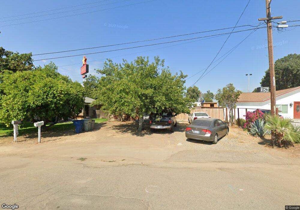
4939 N Dale Ave Fresno, CA 93722
Highway City NeighborhoodEstimated Value: $116,000 - $342,000
--
Bed
--
Bath
576
Sq Ft
$352/Sq Ft
Est. Value
About This Home
This home is located at 4939 N Dale Ave, Fresno, CA 93722 and is currently estimated at $202,759, approximately $352 per square foot. 4939 N Dale Ave is a home located in Fresno County with nearby schools including Teague Elementary School and Glacier Point Middle School.
Ownership History
Date
Name
Owned For
Owner Type
Purchase Details
Closed on
Mar 26, 2019
Sold by
Hovannisian Ralph and Hovannisian Janet
Bought by
Victori Ralph Martin Hovannisian and Victori Janet
Current Estimated Value
Purchase Details
Closed on
Sep 15, 2011
Sold by
Hovannisian Ralph and Hovannisian Janet
Bought by
Hovannisian Ralph and Hovannisian Janet
Home Financials for this Owner
Home Financials are based on the most recent Mortgage that was taken out on this home.
Original Mortgage
$100,000
Interest Rate
4.09%
Mortgage Type
Purchase Money Mortgage
Purchase Details
Closed on
May 20, 2003
Sold by
Perkins Alvan E and Perkins Betty C
Bought by
Hovannisian Ralph and Hovannisian Janet
Home Financials for this Owner
Home Financials are based on the most recent Mortgage that was taken out on this home.
Original Mortgage
$31,800
Interest Rate
5.75%
Mortgage Type
Seller Take Back
Create a Home Valuation Report for This Property
The Home Valuation Report is an in-depth analysis detailing your home's value as well as a comparison with similar homes in the area
Home Values in the Area
Average Home Value in this Area
Purchase History
| Date | Buyer | Sale Price | Title Company |
|---|---|---|---|
| Victori Ralph Martin Hovannisian | -- | None Available | |
| Hovannisian Ralph | -- | Fidelity National Title Co | |
| Hovannisian Ralph | $40,500 | Financial Title Company |
Source: Public Records
Mortgage History
| Date | Status | Borrower | Loan Amount |
|---|---|---|---|
| Previous Owner | Hovannisian Ralph | $100,000 | |
| Previous Owner | Hovannisian Ralph | $31,800 |
Source: Public Records
Tax History Compared to Growth
Tax History
| Year | Tax Paid | Tax Assessment Tax Assessment Total Assessment is a certain percentage of the fair market value that is determined by local assessors to be the total taxable value of land and additions on the property. | Land | Improvement |
|---|---|---|---|---|
| 2025 | $984 | $72,397 | $43,440 | $28,957 |
| 2023 | $962 | $69,588 | $41,754 | $27,834 |
| 2022 | $911 | $68,225 | $40,936 | $27,289 |
| 2021 | $918 | $66,888 | $40,134 | $26,754 |
| 2020 | $876 | $66,203 | $39,723 | $26,480 |
| 2019 | $864 | $64,906 | $38,945 | $25,961 |
| 2018 | $846 | $63,634 | $38,182 | $25,452 |
| 2017 | $819 | $60,000 | $30,000 | $30,000 |
| 2016 | $600 | $45,000 | $25,000 | $20,000 |
| 2015 | $605 | $45,000 | $25,000 | $20,000 |
| 2014 | $614 | $45,000 | $25,000 | $20,000 |
Source: Public Records
Map
Nearby Homes
- 5227 W Mission Ave
- 5071 W Mission Ave
- 5069 W Mission Ave
- 6317 N Alta Vista Ln
- 4781 N Polk Ave
- 4520 N Barcus Ave
- 123 Cornelia Ave
- 4435 N Cornelia Ave
- 5739 W Santa Ana Ave
- 5066 W Ashcroft Ave
- 5252 W Holland Ave
- 7001 N Weber Ave
- 5319 N San Marcos Ave
- 5634 W Donner Ave
- 4271 N Ellendale Ave
- 4717 W Joline Dr
- 4531 W Malibu Ave
- 5575 N Cleo Ave
- 4286 N Parkway Dr
- 5432 N Salinas Ave
- 4951 N Dale Ave
- 4931 N Dale Ave
- 4959 N Dale Ave
- 4956 N Dale Ave
- 4966 N Dale Ave
- 4968 N Dale Ave
- 5149 W Shaw Ave
- 4884 N Barcus Ave
- 4858 N Barcus Ave
- 4843 N Parkway Dr
- 5325 W Shaw Ave
- 4829 N Parkway Dr
- 4846 N Parkway Dr
- 5316 W Shaw Ave
- 4846 N Barcus Ave
- 4852 N Constance Ave
- 4844 N Constance Ave
- 5373 W Fairmont Ave
- 5195 W Santa Ana Ave
- 5147 W Mission Ave