494 Apache Rd Gunnison, CO 81230
Estimated Value: $1,623,000 - $2,266,000
5
Beds
5
Baths
4,221
Sq Ft
$454/Sq Ft
Est. Value
About This Home
This home is located at 494 Apache Rd, Gunnison, CO 81230 and is currently estimated at $1,914,471, approximately $453 per square foot. 494 Apache Rd is a home located in Gunnison County with nearby schools including Gunnison Elementary School, Gunnison Middle School, and Crested Butte Community School.
Ownership History
Date
Name
Owned For
Owner Type
Purchase Details
Closed on
Apr 7, 2014
Sold by
Dlugasch David W and Dlugasch Carole S
Bought by
Tomich Interests Llc
Current Estimated Value
Purchase Details
Closed on
Dec 1, 2010
Sold by
West Lucca Llc
Bought by
Dlugasch David W and Dlugasch Carole S
Purchase Details
Closed on
Oct 9, 2009
Sold by
Dlugasch David W and Dlugasch Carole S
Bought by
West Lucca Llc
Purchase Details
Closed on
Nov 7, 1995
Create a Home Valuation Report for This Property
The Home Valuation Report is an in-depth analysis detailing your home's value as well as a comparison with similar homes in the area
Purchase History
| Date | Buyer | Sale Price | Title Company |
|---|---|---|---|
| Tomich Interests Llc | $515,000 | None Available | |
| Dlugasch David W | -- | None Available | |
| West Lucca Llc | $500 | None Available | |
| -- | $235,000 | -- |
Source: Public Records
Tax History
| Year | Tax Paid | Tax Assessment Tax Assessment Total Assessment is a certain percentage of the fair market value that is determined by local assessors to be the total taxable value of land and additions on the property. | Land | Improvement |
|---|---|---|---|---|
| 2024 | $6,539 | $92,420 | $21,270 | $71,150 |
| 2023 | $4,649 | $88,740 | $20,420 | $68,320 |
| 2022 | $4,409 | $73,430 | $13,910 | $59,520 |
| 2021 | $3,978 | $75,550 | $14,310 | $61,240 |
| 2020 | $4,143 | $74,320 | $12,300 | $62,020 |
| 2019 | $4,051 | $74,320 | $12,300 | $62,020 |
| 2018 | $3,357 | $34,050 | $8,180 | $25,870 |
| 2017 | $1,937 | $34,050 | $8,180 | $25,870 |
| 2016 | $2,000 | $35,300 | $8,910 | $26,390 |
| 2015 | -- | $12,890 | $8,910 | $3,980 |
| 2014 | -- | $23,980 | $10,520 | $13,460 |
Source: Public Records
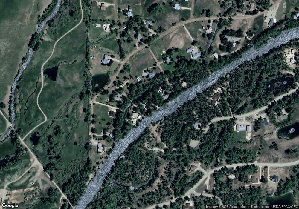
Map
Nearby Homes
- 199 Kokanee Ct
- 91 Apache Rd
- 255 Riverwalk Dr
- 32 Chatto Ct
- 196 Kokanee Ct
- 32 Ponderosa Ln
- 26 Meadow Lark Trail
- 353 Meadowlark Trail
- 710 Sierra Vista Way
- 240 Crest View Dr
- 21 Vulcan St
- 775 Sierra Vista Way
- 250 Pashuta Dr
- 302 Van Tuyl Cir Unit E
- TBD Spencer & Pine
- 119 Farway Dr
- 520 W Elizabeth Ave
- 577 Pashuta Dr
- Lot 3 W Denver Ave
- 1005 W Denver Ave Unit G-4
- 0 Apache Road B
- 400 Apache Rd
- 532 Apache Rd
- 492 Apache Rd
- 420 Apache Rd
- 530 Apache Rd
- 377 Riverwalk Dr
- 396 Apache Rd
- 610 Apache Rd
- 616 Apache Rd
- 392 Apache Rd
- 355 Riverwalk Dr
- 445 Apache Rd
- 391 Apache Rd
- 672 Apache Rd
- 330 Apache Rd
- 0 Apache Rd Unit On the Gunnison Rive
- 0 Apache Rd Unit Lott 11 Gunnison Riv
- 0 Apache Rd
- 311 Riverwalk Dr