494 Baker Hill Rd Bradford, NH 03221
Estimated Value: $565,000 - $827,000
3
Beds
4
Baths
2,569
Sq Ft
$277/Sq Ft
Est. Value
About This Home
This home is located at 494 Baker Hill Rd, Bradford, NH 03221 and is currently estimated at $710,533, approximately $276 per square foot. 494 Baker Hill Rd is a home with nearby schools including Sutton Central Elementary School, Kearsarge Regional Middle School, and Kearsarge Regional High School.
Ownership History
Date
Name
Owned For
Owner Type
Purchase Details
Closed on
Jun 23, 2015
Sold by
Deappolonio Dennis P and Deappolonio Susan K
Bought by
Deappolonio Ft
Current Estimated Value
Purchase Details
Closed on
Sep 28, 2007
Sold by
Chinburg Eric J
Bought by
Deappolonio Susan K and Deappolonio Dennis P
Create a Home Valuation Report for This Property
The Home Valuation Report is an in-depth analysis detailing your home's value as well as a comparison with similar homes in the area
Home Values in the Area
Average Home Value in this Area
Purchase History
| Date | Buyer | Sale Price | Title Company |
|---|---|---|---|
| Deappolonio Ft | -- | -- | |
| Deappolonio Susan K | $86,000 | -- |
Source: Public Records
Mortgage History
| Date | Status | Borrower | Loan Amount |
|---|---|---|---|
| Previous Owner | Deappolonio Susan K | $138,500 |
Source: Public Records
Tax History Compared to Growth
Tax History
| Year | Tax Paid | Tax Assessment Tax Assessment Total Assessment is a certain percentage of the fair market value that is determined by local assessors to be the total taxable value of land and additions on the property. | Land | Improvement |
|---|---|---|---|---|
| 2024 | $10,254 | $380,640 | $141,200 | $239,440 |
| 2023 | $9,657 | $380,640 | $141,200 | $239,440 |
| 2022 | $9,196 | $380,640 | $141,200 | $239,440 |
| 2021 | $9,196 | $380,640 | $141,200 | $239,440 |
| 2020 | $9,467 | $380,640 | $141,200 | $239,440 |
| 2019 | $9,585 | $318,530 | $99,400 | $219,130 |
| 2016 | $8,594 | $318,530 | $99,400 | $219,130 |
| 2015 | $8,594 | $318,530 | $99,400 | $219,130 |
| 2014 | $7,430 | $307,150 | $99,970 | $207,180 |
| 2012 | $6,625 | $307,150 | $99,970 | $207,180 |
Source: Public Records
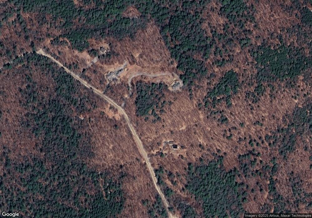
Map
Nearby Homes
- 344 Chalk Pond Rd
- 81 Gerald Dr
- 25 Hilltop Dr
- 0 Summit Rd Unit 431
- Lower Crest Rd
- 00 Mountainside Dr
- 91 Chalk Pond Rd
- 0 Hominy Pot Rd Unit 5036928
- 0 Roby Unit 5036005
- 329 Forest Acres Rd
- 273 Forest Acres Rd
- 0 Crest Dr Unit 4996159
- 6 Chapin Way Unit 6
- 12 Chapin Way Unit Lot 12
- 555 Shaker Rd
- 106-23 Fieldstone Ln
- 0 Fairway Ln Unit 8
- 106 Fieldstone Ln
- 295 Andover Rd
- 36 Shore Dr
- 485 King Hill Rd
- 0 Stonehouse Rd
- 0 Stonehouse Rd Unit 4147844
- 0 Stonehouse Rd Unit 4984759
- 0 Stonehouse Rd Unit 4964835
- 0 Stonehouse Rd Unit 4365067
- 0 Stonehouse Rd Unit Lot 2 4640571
- 504 Baker Hill Rd
- 474 Baker Hill Rd
- 454 Baker Hill Rd
- 0 Baker Hill Rd
- 0 Baker Hill Rd Unit 2772142
- 0 Baker Hill Rd Unit 4172287
- 420 Baker Hill Rd
- 420 Baker Hill Rd
- 0 Baker Hill Rd
- 514 Baker Hill Rd
- 514 Baker Hill Rd
- 400 Baker Hill Rd
- 324 Baker Hill Rd