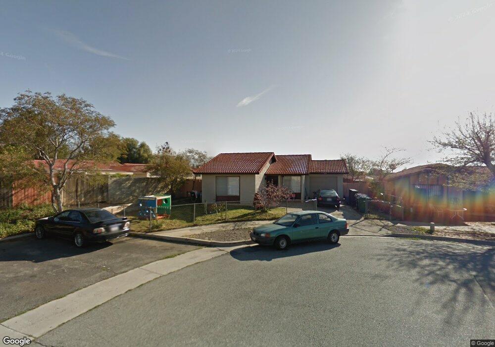
494 Cheyenne Cir Banning, CA 92220
Estimated Value: $261,000 - $347,000
2
Beds
1
Bath
831
Sq Ft
$355/Sq Ft
Est. Value
About This Home
This home is located at 494 Cheyenne Cir, Banning, CA 92220 and is currently estimated at $294,776, approximately $354 per square foot. 494 Cheyenne Cir is a home located in Riverside County with nearby schools including Banning High School, Young Scholar Education Center, and Calvary Christian School.
Ownership History
Date
Name
Owned For
Owner Type
Purchase Details
Closed on
Mar 29, 2011
Sold by
Deutsche Bank National Trust Company
Bought by
Eugene Richard and Lisby Deetra
Current Estimated Value
Purchase Details
Closed on
Dec 1, 2010
Sold by
Phimmasorn Home
Bought by
Deutsche Bank National Trust Company
Purchase Details
Closed on
Apr 28, 2004
Sold by
Aranyaphong Saravouth
Bought by
Phimmasorn Home
Home Financials for this Owner
Home Financials are based on the most recent Mortgage that was taken out on this home.
Original Mortgage
$60,100
Interest Rate
5.86%
Mortgage Type
Purchase Money Mortgage
Create a Home Valuation Report for This Property
The Home Valuation Report is an in-depth analysis detailing your home's value as well as a comparison with similar homes in the area
Home Values in the Area
Average Home Value in this Area
Purchase History
| Date | Buyer | Sale Price | Title Company |
|---|---|---|---|
| Eugene Richard | $52,500 | Ptc Title M O | |
| Deutsche Bank National Trust Company | $116,600 | Accommodation | |
| Phimmasorn Home | -- | Landsafe Title |
Source: Public Records
Mortgage History
| Date | Status | Borrower | Loan Amount |
|---|---|---|---|
| Previous Owner | Phimmasorn Home | $60,100 | |
| Closed | Phimmasorn Home | $16,900 |
Source: Public Records
Tax History
| Year | Tax Paid | Tax Assessment Tax Assessment Total Assessment is a certain percentage of the fair market value that is determined by local assessors to be the total taxable value of land and additions on the property. | Land | Improvement |
|---|---|---|---|---|
| 2025 | $968 | $67,245 | $19,209 | $48,036 |
| 2023 | $968 | $64,636 | $18,464 | $46,172 |
| 2022 | $948 | $63,369 | $18,102 | $45,267 |
| 2021 | $931 | $62,128 | $17,748 | $44,380 |
| 2020 | $921 | $61,492 | $17,567 | $43,925 |
| 2019 | $907 | $60,287 | $17,223 | $43,064 |
| 2018 | $900 | $59,106 | $16,886 | $42,220 |
| 2017 | $885 | $57,948 | $16,555 | $41,393 |
| 2016 | $842 | $56,813 | $16,231 | $40,582 |
| 2015 | $831 | $55,961 | $15,988 | $39,973 |
| 2014 | $825 | $54,867 | $15,676 | $39,191 |
Source: Public Records
Map
Nearby Homes
- 492 Autumn Way
- 2906 Summer Set Cir
- 699 Amber Sky St
- 733 Daybreak Way
- 738 Amber Sky St
- 753 Amber Sky St
- 2648 Hazy Way
- 2880 Rainbow Ln
- 2694 Clear Ct
- 259 S 22nd St
- 612 S 22nd St
- 3138 W Nicolet St
- 670 Morongo Ave
- 3800 W Jacinto View Rd
- 3880 W Jacinto View Rd Unit D
- 3800 W Wilson St Unit 26
- 3800 W Wilson St Unit 41
- 3800 W Wilson St Unit 18
- 3800 W Wilson St Unit 394
- 3800 W Wilson St Unit 337
- 504 Cheyenne Cir
- 2896 Mohawk Rd
- 2888 Mohawk Rd
- 2912 Mohawk Rd
- 520 Cheyenne Cir
- 493 Navajo Dr
- 2874 Mohawk Rd
- 511 Navajo Dr
- 2928 Mohawk Rd
- 2860 Mohawk Rd
- 534 Cheyenne Cir
- 497 Cheyenne Cir
- 529 Navajo Dr
- 505 Cheyenne Cir
- 2944 Mohawk Rd
- 521 Cheyenne Cir
- 546 Cheyenne Cir
- 535 Cheyenne Cir
- 543 Navajo Dr
- 2960 Mohawk Rd
Your Personal Tour Guide
Ask me questions while you tour the home.