494 Edgewood Dr Mount Airy, GA 30563
Estimated Value: $385,000 - $493,000
3
Beds
2
Baths
2,493
Sq Ft
$174/Sq Ft
Est. Value
About This Home
This home is located at 494 Edgewood Dr, Mount Airy, GA 30563 and is currently estimated at $434,837, approximately $174 per square foot. 494 Edgewood Dr is a home located in Habersham County with nearby schools including Demorest Elementary School, Wilbanks Middle School, and Habersham Success Academy.
Ownership History
Date
Name
Owned For
Owner Type
Purchase Details
Closed on
Nov 8, 2019
Sold by
Koerbel Tina M
Bought by
Irvin David Brett and Irvin Jessica Marie
Current Estimated Value
Home Financials for this Owner
Home Financials are based on the most recent Mortgage that was taken out on this home.
Original Mortgage
$270,750
Outstanding Balance
$206,183
Interest Rate
3.5%
Estimated Equity
$228,654
Purchase Details
Closed on
Oct 24, 2016
Sold by
Federal Hm Ln Mtg Corp
Bought by
Koerbel Tina M and Troyer Mark
Create a Home Valuation Report for This Property
The Home Valuation Report is an in-depth analysis detailing your home's value as well as a comparison with similar homes in the area
Home Values in the Area
Average Home Value in this Area
Purchase History
| Date | Buyer | Sale Price | Title Company |
|---|---|---|---|
| Irvin David Brett | $285,000 | -- | |
| Koerbel Tina M | $159,900 | -- |
Source: Public Records
Mortgage History
| Date | Status | Borrower | Loan Amount |
|---|---|---|---|
| Open | Irvin David Brett | $270,750 |
Source: Public Records
Tax History Compared to Growth
Tax History
| Year | Tax Paid | Tax Assessment Tax Assessment Total Assessment is a certain percentage of the fair market value that is determined by local assessors to be the total taxable value of land and additions on the property. | Land | Improvement |
|---|---|---|---|---|
| 2025 | $4,415 | $182,753 | $24,573 | $158,180 |
| 2024 | $4,531 | $174,568 | $10,836 | $163,732 |
| 2023 | $3,683 | $147,304 | $10,836 | $136,468 |
| 2022 | $3,360 | $128,864 | $10,836 | $118,028 |
| 2021 | $3,020 | $116,344 | $9,936 | $106,408 |
| 2020 | $2,750 | $102,256 | $9,936 | $92,320 |
| 2019 | $1,710 | $79,916 | $9,936 | $69,980 |
| 2018 | $1,698 | $67,784 | $9,936 | $57,848 |
| 2017 | $1,657 | $63,636 | $9,936 | $53,700 |
| 2016 | $1,424 | $136,570 | $8,948 | $45,680 |
| 2015 | $1,408 | $136,570 | $8,948 | $45,680 |
| 2014 | $1,406 | $133,910 | $8,948 | $44,616 |
| 2013 | -- | $53,564 | $8,948 | $44,616 |
Source: Public Records
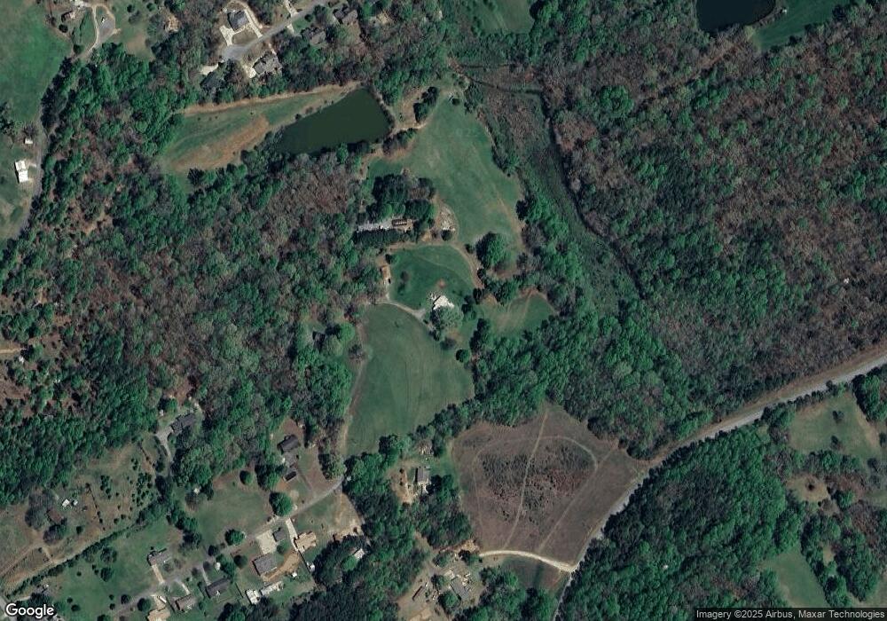
Map
Nearby Homes
- 204 Linwood Dr
- 161 Wayward Winds Dr
- 254 Oakdale Dr
- 221 Mcallister Rd
- 166 Towerview Cir
- 787 Ansley Rd
- 310 Wilson Rd
- 676 Sweetgrass Dr
- 417 Sweetgrass Dr
- 1344 Blue Grass Ct
- 408 Sweetgrass Dr
- 877 Sweetgrass Ct
- 865 Sweetgrass Ct
- 1576 Chase Rd
- 323 Sweetgrass Dr
- 368 Sweetgrass Dr
- 799 Sweetgrass Dr
- 394 Sweetgrass Dr
- 815 Sweetgrass Ct
- 0 Sweetgrass Dr Unit 7658113
- 484 Edgewood Dr
- 403 Edgewood Dr
- 259 Fair Dew Dr
- 317 Edgewood Dr
- 304 Edgewood Dr
- 253 Edgewood Dr
- 207 Fair Dew Dr
- 212 Linwood Dr
- 228 Linwood Dr
- 254 Linwood Dr Unit 13
- 254 Linwood Dr
- 0 Edgewood Dr Unit 8671247
- 0 Edgewood Dr Unit 8163771
- 0 Edgewood Dr Unit 8058951
- 0 Edgewood Dr Unit 7604060
- 240 Linwood Dr
- 280 Edgewood Dr
- 204 Linwood Dr Unit 9
- 304 Linwood Dr
- 2403 Camp Creek Rd