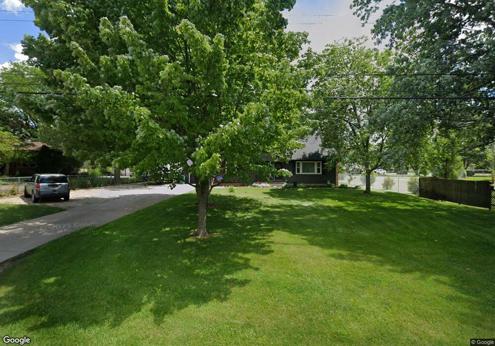
494 N Hintz Rd Owosso, MI 48867
Estimated Value: $199,853 - $234,000
3
Beds
2
Baths
1,623
Sq Ft
$134/Sq Ft
Est. Value
About This Home
This home is located at 494 N Hintz Rd, Owosso, MI 48867 and is currently estimated at $218,213, approximately $134 per square foot. 494 N Hintz Rd is a home located in Shiawassee County with nearby schools including Owosso High School, St. Paul Catholic School, and St. Joseph School.
Ownership History
Date
Name
Owned For
Owner Type
Purchase Details
Closed on
Jul 26, 2021
Sold by
Ochodnicky Jeffrey L and Ochodnicky Jeffrey
Bought by
Ochodnicky Jeffery and Ochodnicky Shelly
Current Estimated Value
Home Financials for this Owner
Home Financials are based on the most recent Mortgage that was taken out on this home.
Original Mortgage
$105,000
Outstanding Balance
$64,785
Interest Rate
2.8%
Mortgage Type
New Conventional
Estimated Equity
$153,428
Purchase Details
Closed on
Mar 30, 2016
Sold by
Federal National Mortgage Association and Fannie Mae
Bought by
Baker Terry and Baker Lisa
Purchase Details
Closed on
Nov 6, 2015
Sold by
Castle Leoma J and Castle Jack R
Bought by
Federal National Mortgage Association
Create a Home Valuation Report for This Property
The Home Valuation Report is an in-depth analysis detailing your home's value as well as a comparison with similar homes in the area
Home Values in the Area
Average Home Value in this Area
Purchase History
| Date | Buyer | Sale Price | Title Company |
|---|---|---|---|
| Ochodnicky Jeffery | -- | Ata National Title Group Llc | |
| Baker Terry | $25,500 | -- | |
| Federal National Mortgage Association | $38,690 | -- |
Source: Public Records
Mortgage History
| Date | Status | Borrower | Loan Amount |
|---|---|---|---|
| Open | Ochodnicky Jeffery | $105,000 |
Source: Public Records
Tax History Compared to Growth
Tax History
| Year | Tax Paid | Tax Assessment Tax Assessment Total Assessment is a certain percentage of the fair market value that is determined by local assessors to be the total taxable value of land and additions on the property. | Land | Improvement |
|---|---|---|---|---|
| 2025 | $1,665 | $81,700 | $0 | $0 |
| 2024 | $1,665 | $79,600 | $0 | $0 |
| 2023 | $656 | $74,500 | $0 | $0 |
| 2022 | $928 | $69,300 | $0 | $0 |
| 2021 | $1,465 | $65,300 | $0 | $0 |
| 2020 | $941 | $61,400 | $0 | $0 |
| 2019 | $1,209 | $55,700 | $0 | $0 |
| 2018 | $1,530 | $53,900 | $0 | $0 |
| 2017 | $1,143 | $50,400 | $0 | $0 |
| 2016 | -- | $50,400 | $0 | $0 |
| 2015 | -- | $50,000 | $0 | $0 |
| 2014 | -- | $47,200 | $0 | $0 |
Source: Public Records
Map
Nearby Homes
- Vacant Copas Rd
- 1701 Copas Rd
- V/L Short St
- 415 Dimmick St
- 813 Wiltshire Dr
- 703 Queen St
- 1430 Mallard Cir
- 1473 Mallard Cir
- 332 N Dewey St
- 724 N Dewey St
- 628 Aiken St
- 1301 Whitehaven Ct
- 611 Beck Ave
- 624 E Comstock St
- 809 Stevens Dr
- 509 Abbott St
- 535 Elizabeth Dr
- 432 Oakwood Ave
- 418 E Oliver St
- 520 E Comstock St