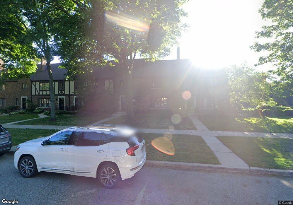
494 Saint Clair St Grosse Pointe, MI 48230
Estimated Value: $407,888 - $438,000
Studio
2
Baths
1,638
Sq Ft
$259/Sq Ft
Est. Value
About This Home
This home is located at 494 Saint Clair St, Grosse Pointe, MI 48230 and is currently estimated at $424,472, approximately $259 per square foot. 494 Saint Clair St is a home located in Wayne County with nearby schools including Lewis Maire Elementary School, Pierce Middle School, and Grosse Pointe South High School.
Ownership History
Date
Name
Owned For
Owner Type
Purchase Details
Closed on
Jan 10, 2020
Sold by
Collins Brian C and Figurski Roy E
Bought by
Riley Janice G
Current Estimated Value
Create a Home Valuation Report for This Property
The Home Valuation Report is an in-depth analysis detailing your home's value as well as a comparison with similar homes in the area
Home Values in the Area
Average Home Value in this Area
Purchase History
| Date | Buyer | Sale Price | Title Company |
|---|---|---|---|
| Riley Janice G | $380,000 | None Available |
Source: Public Records
Tax History
| Year | Tax Paid | Tax Assessment Tax Assessment Total Assessment is a certain percentage of the fair market value that is determined by local assessors to be the total taxable value of land and additions on the property. | Land | Improvement |
|---|---|---|---|---|
| 2025 | $5,873 | $212,900 | $0 | $0 |
| 2024 | $5,675 | $189,800 | $0 | $0 |
| 2023 | $5,412 | $169,500 | $0 | $0 |
| 2022 | $7,833 | $151,400 | $0 | $0 |
| 2021 | $7,662 | $151,200 | $0 | $0 |
| 2019 | $4,642 | $116,000 | $0 | $0 |
| 2018 | $2,827 | $97,500 | $0 | $0 |
| 2017 | $2,984 | $96,600 | $0 | $0 |
| 2016 | $4,254 | $92,800 | $0 | $0 |
| 2015 | $8,067 | $102,400 | $0 | $0 |
| 2013 | $7,890 | $78,900 | $0 | $0 |
| 2012 | -- | $84,000 | $0 | $0 |
Source: Public Records
Map
Nearby Homes
- 497 Neff Rd
- 516 Neff Ln
- 25 Village Ln
- 47 Cranford Ln
- 43 Cranford Ln
- 42 Cranford Ln
- 379 Lakeland St
- 30 Cranford Ln
- 386 Notre Dame St
- 612 Cadieux Rd
- 1030 Bishop Rd
- 320 Neff Rd
- 345 Roosevelt Place
- 16761 E Jefferson Ave
- 296 Rivard Blvd
- 355 Lincoln Rd
- 10 Sycamore Ln
- 760 Loraine St
- 277 Lincoln Rd
- 614 Rivard Blvd
- 504 St Clair
- 492 Saint Clair St
- 492 St Clair St
- 496 Saint Clair St
- 500 St Clair
- 490 Saint Clair St
- 490 St Clair
- 488 Saint Clair St Unit 13
- 488 St Clair St
- 496 St Clair
- 500 Saint Clair St Unit 19
- 498 St Clair
- 486 Saint Clair St
- 486 St Clair St
- 502 Saint Clair St
- 504 Saint Clair St Unit 21
- 484 Saint Clair St Unit 11
- 484 St Clair St
- 506 Saint Clair St
- 482 Saint Clair St
Your Personal Tour Guide
Ask me questions while you tour the home.