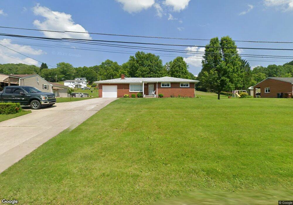
494 State Route 356 Apollo, PA 15613
Allegheny Township NeighborhoodEstimated Value: $63,969 - $259,000
--
Bed
--
Bath
--
Sq Ft
0.39
Acres
About This Home
This home is located at 494 State Route 356, Apollo, PA 15613 and is currently estimated at $191,242. 494 State Route 356 is a home located in Westmoreland County with nearby schools including Kiski Area High School.
Ownership History
Date
Name
Owned For
Owner Type
Purchase Details
Closed on
Jun 5, 2002
Sold by
Ringle John R and Ringle Linda L
Bought by
Tesone Clifford A and Chichura Bonnie
Current Estimated Value
Home Financials for this Owner
Home Financials are based on the most recent Mortgage that was taken out on this home.
Original Mortgage
$39,000
Interest Rate
6.9%
Create a Home Valuation Report for This Property
The Home Valuation Report is an in-depth analysis detailing your home's value as well as a comparison with similar homes in the area
Home Values in the Area
Average Home Value in this Area
Purchase History
| Date | Buyer | Sale Price | Title Company |
|---|---|---|---|
| Tesone Clifford A | $119,900 | -- |
Source: Public Records
Mortgage History
| Date | Status | Borrower | Loan Amount |
|---|---|---|---|
| Closed | Tesone Clifford A | $39,000 |
Source: Public Records
Tax History Compared to Growth
Tax History
| Year | Tax Paid | Tax Assessment Tax Assessment Total Assessment is a certain percentage of the fair market value that is determined by local assessors to be the total taxable value of land and additions on the property. | Land | Improvement |
|---|---|---|---|---|
| 2025 | $2,860 | $18,860 | $2,980 | $15,880 |
| 2024 | $2,714 | $18,860 | $2,980 | $15,880 |
| 2023 | $2,481 | $18,860 | $2,980 | $15,880 |
| 2022 | $2,425 | $18,860 | $2,980 | $15,880 |
| 2021 | $2,425 | $18,860 | $2,980 | $15,880 |
| 2020 | $2,419 | $18,860 | $2,980 | $15,880 |
| 2019 | $2,410 | $18,860 | $2,980 | $15,880 |
| 2018 | $2,372 | $18,860 | $2,980 | $15,880 |
| 2017 | $2,316 | $18,860 | $2,980 | $15,880 |
| 2016 | $2,281 | $18,860 | $2,980 | $15,880 |
| 2015 | $2,281 | $18,860 | $2,980 | $15,880 |
| 2014 | $2,269 | $18,860 | $2,980 | $15,880 |
Source: Public Records
Map
Nearby Homes
- 501 State Route 356
- 716 Pennsylvania 356
- 519 Dogwood Ct
- 620 Cedar Ridge Dr
- 217 Karen Dr
- 262 Vista Dr
- 1316 Hancock Ave
- 4792 State Route 66
- 150 Watson Rd
- 115 Acadia Ln
- 223 Old Mill Rd
- 211 Old Mill Rd
- 0 Watson Rd
- 231 Whittier St
- 213 Whittier St
- 322 N 4th St
- 411a N Pennsylvania Ave
- 404 N Pennsylvania Ave
- 208 Whittier St
- 2 La Belle Vue Rd
- 498 State Route 356
- 490 State Route 356
- 502 State Route 356
- 218 Mt Vernon St
- 218 Mt Vernon Dr
- 210 Rovel St
- 218 Rovel St
- 214 Mt Vernon Dr
- 390 Orr Ave
- 222 Rovel St
- 504 State Route 356
- 384 Orr Ave
- 505 State Route 356
- 226 Rovel St
- 204 Rovel St
- 204 Mount Vernon Dr
- 204 Mt Vernon Dr
- 487 State Route 356
- 508 Route 356
- 508 State Route 356