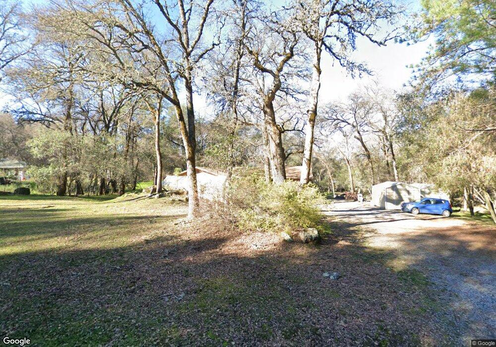
4940 Lorin Ct Auburn, CA 95602
Estimated Value: $462,088 - $555,000
3
Beds
2
Baths
1,248
Sq Ft
$400/Sq Ft
Est. Value
About This Home
This home is located at 4940 Lorin Ct, Auburn, CA 95602 and is currently estimated at $499,272, approximately $400 per square foot. 4940 Lorin Ct is a home located in Placer County with nearby schools including Sierra Hills Elementary School, Weimar Hills, and Colfax High School.
Ownership History
Date
Name
Owned For
Owner Type
Purchase Details
Closed on
May 8, 2014
Sold by
Delsarto Glen J and Delsarto Glen
Bought by
Delsarto Glen J
Current Estimated Value
Purchase Details
Closed on
Sep 17, 1996
Sold by
Delsarto Suzanne
Bought by
Delsarto Glen
Home Financials for this Owner
Home Financials are based on the most recent Mortgage that was taken out on this home.
Original Mortgage
$98,000
Interest Rate
7.88%
Mortgage Type
Purchase Money Mortgage
Create a Home Valuation Report for This Property
The Home Valuation Report is an in-depth analysis detailing your home's value as well as a comparison with similar homes in the area
Purchase History
| Date | Buyer | Sale Price | Title Company |
|---|---|---|---|
| Delsarto Glen J | -- | None Available | |
| Delsarto Glen | -- | Old Republic Title Company | |
| Delsarto Glen | $148,000 | Old Republic Title Company |
Source: Public Records
Mortgage History
| Date | Status | Borrower | Loan Amount |
|---|---|---|---|
| Previous Owner | Delsarto Glen | $98,000 | |
| Closed | Delsarto Glen | $20,400 |
Source: Public Records
Tax History
| Year | Tax Paid | Tax Assessment Tax Assessment Total Assessment is a certain percentage of the fair market value that is determined by local assessors to be the total taxable value of land and additions on the property. | Land | Improvement |
|---|---|---|---|---|
| 2025 | $2,409 | $241,017 | $113,992 | $127,025 |
| 2023 | $2,409 | $231,660 | $109,566 | $122,094 |
| 2022 | $2,328 | $227,118 | $107,418 | $119,700 |
| 2021 | $2,277 | $222,665 | $105,312 | $117,353 |
| 2020 | $2,250 | $220,383 | $104,233 | $116,150 |
| 2019 | $2,204 | $216,063 | $102,190 | $113,873 |
| 2018 | $2,126 | $211,828 | $100,187 | $111,641 |
| 2017 | $2,086 | $207,675 | $98,223 | $109,452 |
| 2016 | $2,041 | $203,604 | $96,298 | $107,306 |
| 2015 | $1,991 | $200,547 | $94,852 | $105,695 |
| 2014 | $1,959 | $196,619 | $92,994 | $103,625 |
Source: Public Records
Map
Nearby Homes
- 3165 Ray Cir
- 5475 Stanley Dr
- 5575 Stanley Dr
- 3110 Iron Mine Rd
- 2790 Black Oak Rd
- 6055 Stanley Dr
- 1811 Little Creek Rd
- 14580 Mcelroy Rd
- 5181 Westridge Cir
- 1461 Lodge View Dr
- 1632 The Point
- 1621 The Point
- 1642 the Point Road Lot 297
- 16441 Winchester Club Dr
- 16681-Lot 402 Winchester Club Dr
- 16688-Phase 6B Winchester Club Dr
- 16689-Lot 403 Winchester Club Dr
- 16677-Lot 401 Winchester Club Dr
- 0 Dry Creek Rd Unit 225060351
- 16315 Winchester Club Dr
- 4920 Lorin Ct
- 4960 Lorin Ct
- 4935 Lorin Ct
- 3220 Christian Valley Rd
- 4900 Lorin Ct
- 4955 Lorin Ct
- 3130 Christian Valley Rd
- 3020 Christian Valley Rd
- 4945 Lorin Ct
- 3260 Christian Valley Rd
- 4980 Lorin Ct
- 4925 Lorin Ct
- 4975 Lorin Ct
- 4905 Lorin Ct
- 3000 Christian Valley Rd
- 3235 Ray Cir
- 3245 Ray Cir
- 3125 Christian Valley Rd
- 4985 Lorin Ct
- 2920 Christian Valley Rd
Your Personal Tour Guide
Ask me questions while you tour the home.