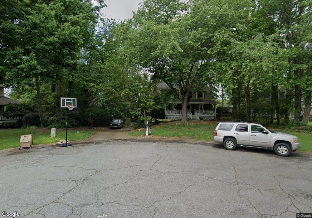
4943 Hawk Ct NE Marietta, GA 30066
Sandy Plains NeighborhoodEstimated Value: $383,000 - $429,000
3
Beds
3
Baths
1,718
Sq Ft
$236/Sq Ft
Est. Value
About This Home
This home is located at 4943 Hawk Ct NE, Marietta, GA 30066 and is currently estimated at $405,806, approximately $236 per square foot. 4943 Hawk Ct NE is a home located in Cobb County with nearby schools including Davis Elementary School, Mabry Middle School, and Lassiter High School.
Ownership History
Date
Name
Owned For
Owner Type
Purchase Details
Closed on
Dec 27, 2001
Sold by
Gibons Greg E and Gibons Dianne W
Bought by
Mcbridge Michael and Mcbridge Kristina
Current Estimated Value
Home Financials for this Owner
Home Financials are based on the most recent Mortgage that was taken out on this home.
Original Mortgage
$150,000
Outstanding Balance
$66,574
Interest Rate
7.08%
Mortgage Type
New Conventional
Estimated Equity
$339,232
Create a Home Valuation Report for This Property
The Home Valuation Report is an in-depth analysis detailing your home's value as well as a comparison with similar homes in the area
Home Values in the Area
Average Home Value in this Area
Purchase History
| Date | Buyer | Sale Price | Title Company |
|---|---|---|---|
| Mcbridge Michael | $159,400 | -- |
Source: Public Records
Mortgage History
| Date | Status | Borrower | Loan Amount |
|---|---|---|---|
| Open | Mcbridge Michael | $150,000 |
Source: Public Records
Tax History Compared to Growth
Tax History
| Year | Tax Paid | Tax Assessment Tax Assessment Total Assessment is a certain percentage of the fair market value that is determined by local assessors to be the total taxable value of land and additions on the property. | Land | Improvement |
|---|---|---|---|---|
| 2025 | $3,410 | $152,068 | $32,000 | $120,068 |
| 2024 | $3,413 | $152,068 | $32,000 | $120,068 |
| 2023 | $2,596 | $139,420 | $29,600 | $109,820 |
| 2022 | $2,694 | $117,928 | $22,000 | $95,928 |
| 2021 | $2,170 | $93,964 | $12,800 | $81,164 |
| 2020 | $2,170 | $93,964 | $12,800 | $81,164 |
| 2019 | $1,996 | $86,016 | $10,800 | $75,216 |
| 2018 | $1,817 | $77,840 | $10,000 | $67,840 |
| 2017 | $1,764 | $77,840 | $10,000 | $67,840 |
| 2016 | $1,649 | $72,448 | $10,000 | $62,448 |
| 2015 | $1,372 | $58,492 | $12,000 | $46,492 |
| 2014 | $1,382 | $58,492 | $0 | $0 |
Source: Public Records
Map
Nearby Homes
- 4899 Hawk Trail NE
- 2697 S Cherokee Ln
- 2874 S Cherokee Ln
- 209 Lakestone Pkwy
- 461 Maypop Ln
- 255 Wild Ginger Bend
- 2423 Turtle Crossing NE
- 3025 S Cherokee Ln
- 449 Maypop Ln
- 444 Maypop Ln
- 2768 Hawk Trace Ct NE
- 235 Wild Ginger Bend
- 383 Tillman Pass
- 274 Lakestone Pkwy
- 223 Wild Ginger Bend
- 416 Maypop Ln
- 1013 Liberty Springs Dr
- Bramwell Plan at Havencroft
- Hendricks Plan at Havencroft
- Wynstone Plan at Havencroft
- 4945 Hawk Ct NE
- 4941 Hawk Ct NE
- 5038 Canopy Dr
- 4947 Hawk Ct NE
- 4911 Hawk Trail NE
- 2607 Canopy Ln
- 4946 Hawk Ct NE
- 4942 Hawk Ct NE
- 2611 Canopy Ln
- 5034 Canopy Dr Unit 36448807
- 5034 Canopy Dr Unit 36500423
- 5034 Canopy Dr Unit 36437488
- 5034 Canopy Dr
- 4909 Hawk Trail NE
- 4949 Hawk Ct NE
- 5030 Canopy Dr
- 6510 Canopy Dr
- 6519 Canopy Dr
- 6475 Canopy Dr
- 4948 Hawk Ct NE