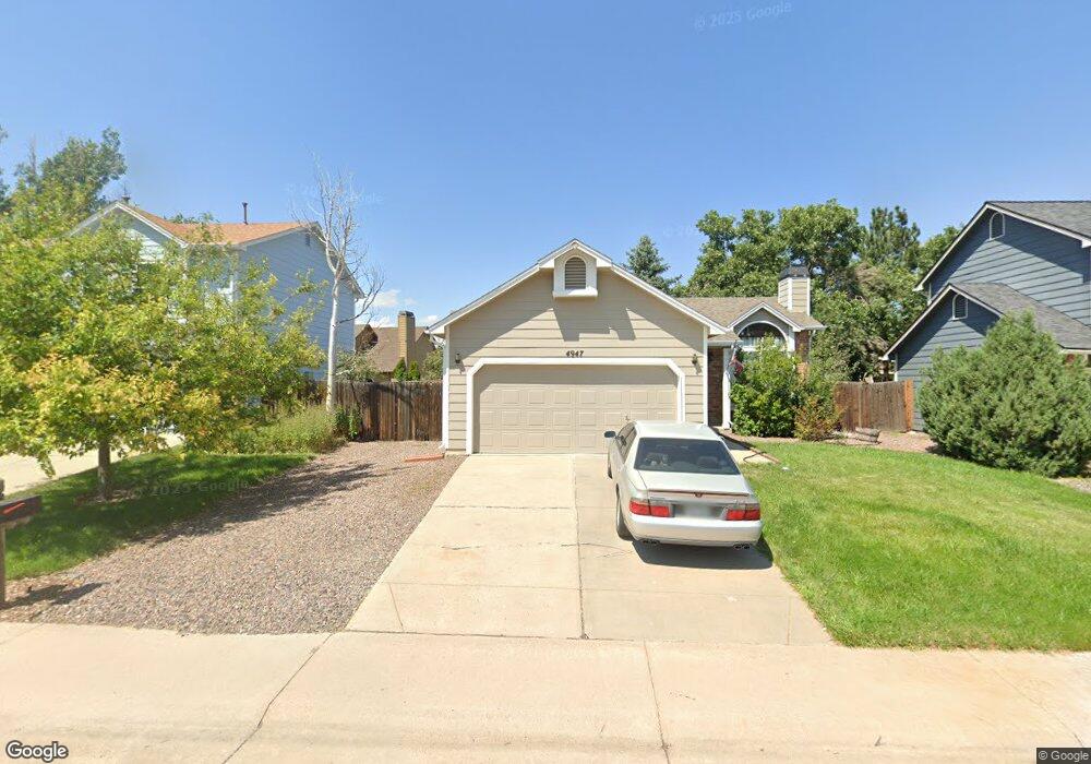
4947 E Barrington Ave Castle Rock, CO 80104
Founders Village NeighborhoodEstimated Value: $442,000 - $471,000
2
Beds
1
Bath
908
Sq Ft
$502/Sq Ft
Est. Value
About This Home
This home is located at 4947 E Barrington Ave, Castle Rock, CO 80104 and is currently estimated at $455,903, approximately $502 per square foot. 4947 E Barrington Ave is a home located in Douglas County with nearby schools including Rock Ridge Elementary School, Mesa Middle School, and Douglas County High School.
Ownership History
Date
Name
Owned For
Owner Type
Purchase Details
Closed on
Feb 2, 1990
Sold by
Phh Homequity Corp
Bought by
Cronk John F and Cronk Teresa Lynn
Current Estimated Value
Purchase Details
Closed on
Dec 22, 1989
Sold by
Hutchison Robert M
Bought by
Phh Homequity Corp
Purchase Details
Closed on
Jul 31, 1986
Sold by
Richmond Belmont Ltd
Bought by
Hutchison Robert M
Create a Home Valuation Report for This Property
The Home Valuation Report is an in-depth analysis detailing your home's value as well as a comparison with similar homes in the area
Home Values in the Area
Average Home Value in this Area
Purchase History
| Date | Buyer | Sale Price | Title Company |
|---|---|---|---|
| Cronk John F | $53,000 | -- | |
| Phh Homequity Corp | -- | -- | |
| Hutchison Robert M | $68,000 | -- |
Source: Public Records
Tax History Compared to Growth
Tax History
| Year | Tax Paid | Tax Assessment Tax Assessment Total Assessment is a certain percentage of the fair market value that is determined by local assessors to be the total taxable value of land and additions on the property. | Land | Improvement |
|---|---|---|---|---|
| 2024 | $4,411 | $30,530 | $8,210 | $22,320 |
| 2023 | $4,437 | $30,530 | $8,210 | $22,320 |
| 2022 | $3,076 | $19,430 | $6,080 | $13,350 |
| 2021 | $3,132 | $19,430 | $6,080 | $13,350 |
| 2020 | $2,902 | $18,520 | $5,140 | $13,380 |
| 2019 | $2,903 | $18,520 | $5,140 | $13,380 |
| 2018 | $2,456 | $15,550 | $3,970 | $11,580 |
| 2017 | $2,364 | $15,550 | $3,970 | $11,580 |
| 2016 | $1,897 | $13,030 | $3,870 | $9,160 |
| 2015 | $1,922 | $13,030 | $3,870 | $9,160 |
| 2014 | $1,568 | $10,210 | $3,420 | $6,790 |
Source: Public Records
Map
Nearby Homes
- 176 S Pembrook St
- 321 Lockwood St
- 5181 Devon Ave
- 510 Fairhaven St
- 378 Benton St
- 5323 E Sandpiper Ave
- 5282 Devon Ave
- 576 S Lindsey St
- 5326 E Howe St
- 4590 Wakefield Ave
- 596 S Lindsey St
- 630 Fairhaven St
- 535 Howe St
- 4372 E Andover Ave
- 364 N Willow St
- 152 Las Lunas St
- 160 Las Lunas St
- 612 Blue Teal Dr
- 109 N Quicksilver Ave
- 650 Howe Cir
- 4967 E Barrington Ave
- 4937 E Barrington Ave
- 4904 E Ashton Ave
- 4987 E Barrington Ave
- 4927 E Barrington Ave
- 4884 E Ashton Ave
- 4924 E Ashton Ave
- 4946 E Barrington Ave
- 4966 E Barrington Ave
- 92 S Pembrook St
- 5007 E Barrington Ave
- 4874 E Ashton Ave
- 79 S Pembrook St
- 4934 E Ashton Ave
- 76 S Lindsey St
- 109 S Pembrook St
- 53 S Amherst St
- 4864 E Ashton Ave
- 96 S Lindsey St
- 4944 E Ashton Ave