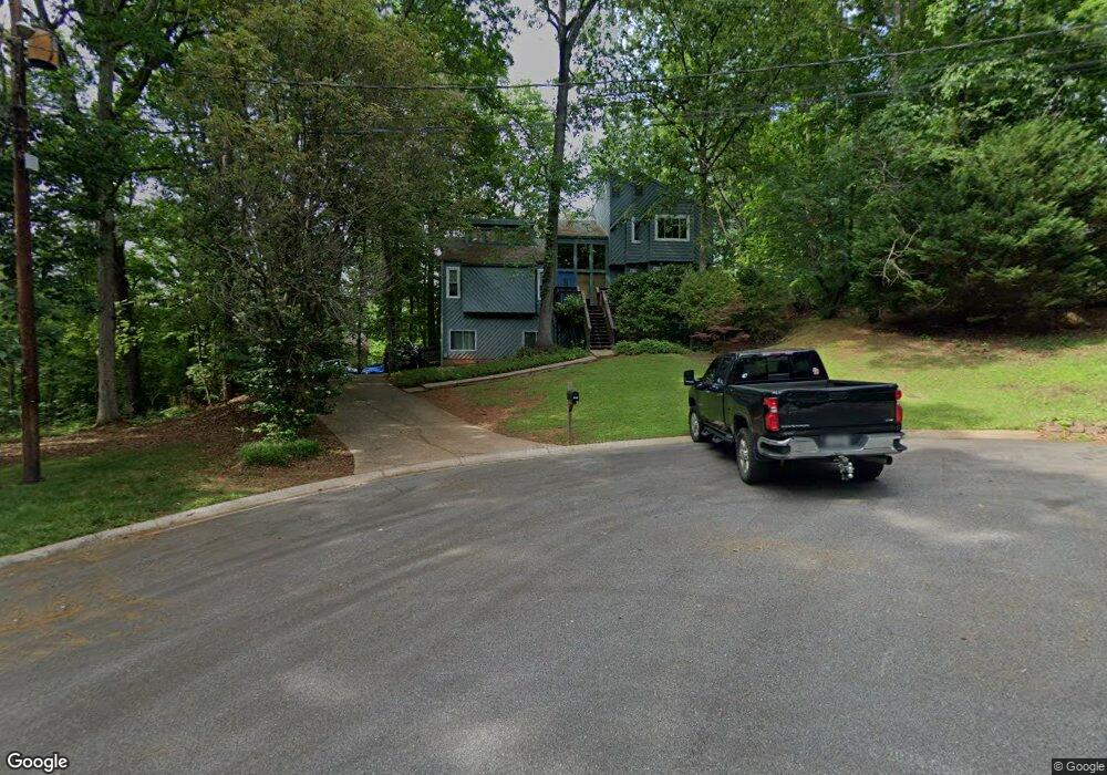
4947 Highpoint Ct NE Marietta, GA 30066
Sandy Plains NeighborhoodEstimated Value: $372,203 - $456,000
3
Beds
3
Baths
1,910
Sq Ft
$215/Sq Ft
Est. Value
About This Home
This home is located at 4947 Highpoint Ct NE, Marietta, GA 30066 and is currently estimated at $409,801, approximately $214 per square foot. 4947 Highpoint Ct NE is a home located in Cobb County with nearby schools including Keheley Elementary School and McCleskey Middle School.
Ownership History
Date
Name
Owned For
Owner Type
Purchase Details
Closed on
Mar 26, 2021
Sold by
Burnett James A and Burnett Marian H
Bought by
Obrien Aaron Michael
Current Estimated Value
Purchase Details
Closed on
Dec 19, 2016
Sold by
Marian H
Bought by
Burnett James A and Burnett Marian H
Create a Home Valuation Report for This Property
The Home Valuation Report is an in-depth analysis detailing your home's value as well as a comparison with similar homes in the area
Home Values in the Area
Average Home Value in this Area
Purchase History
| Date | Buyer | Sale Price | Title Company |
|---|---|---|---|
| Obrien Aaron Michael | $186,000 | None Available | |
| Burnett James A | -- | -- |
Source: Public Records
Tax History Compared to Growth
Tax History
| Year | Tax Paid | Tax Assessment Tax Assessment Total Assessment is a certain percentage of the fair market value that is determined by local assessors to be the total taxable value of land and additions on the property. | Land | Improvement |
|---|---|---|---|---|
| 2025 | $4,947 | $164,176 | $36,000 | $128,176 |
| 2024 | $4,657 | $154,456 | $34,400 | $120,056 |
| 2023 | $4,657 | $154,456 | $34,400 | $120,056 |
| 2022 | $2,258 | $74,400 | $16,000 | $58,400 |
| 2021 | $2,547 | $109,412 | $28,000 | $81,412 |
| 2020 | $2,305 | $98,380 | $26,000 | $72,380 |
| 2019 | $2,305 | $98,380 | $26,000 | $72,380 |
| 2018 | $1,908 | $80,212 | $26,000 | $54,212 |
| 2017 | $2,134 | $74,216 | $26,000 | $48,216 |
| 2016 | $1,719 | $74,216 | $26,000 | $48,216 |
| 2015 | $1,419 | $59,168 | $20,000 | $39,168 |
| 2014 | $1,430 | $59,168 | $0 | $0 |
Source: Public Records
Map
Nearby Homes
- 2423 Turtle Crossing NE
- 2256 Turtle Club Dr NE Unit 1
- 5100 Ravenwood Dr
- 4709 Trickum Rd NE
- 223 Wild Ginger Bend
- 205 Leland Way
- 134 Sierra Cir
- 235 Wild Ginger Bend
- 4799 North Trail
- 255 Wild Ginger Bend
- 4797 North Trail
- 4813 Highpoint Dr NE
- 416 Maypop Ln
- 444 Maypop Ln
- Bramwell Plan at Havencroft
- Hendricks Plan at Havencroft
- Wynstone Plan at Havencroft
- Buckhorn Plan at Havencroft
- 4937 Highpoint Ct NE
- 5059 Ravenwood Dr Unit 5
- 5059 Ravenwood Dr
- 4950 Highpoint Ct NE
- 5061 Ravenwood Dr
- 4925 Highpoint Dr NE
- 5057 Ravenwood Dr
- 4940 Highpoint Ct NE
- 5063 Ravenwood Dr
- 4935 Trickum Rd NE
- 4945 Highpoint Dr NE
- 4915 Highpoint Dr NE
- 5055 Ravenwood Dr Unit 2
- 5065 Ravenwood Dr
- 4977 Trickum Rd NE
- 5064 Ravenwood Dr
- 4912 Highpoint Dr NE
- 4955 Highpoint Dr NE
- 5066 Ravenwood Dr
- 4905 Highpoint Dr NE