495 Crystal Cir Carbondale, CO 81623
Estimated Value: $1,352,000 - $1,884,915
3
Beds
3
Baths
2,906
Sq Ft
$561/Sq Ft
Est. Value
About This Home
This home is located at 495 Crystal Cir, Carbondale, CO 81623 and is currently estimated at $1,630,729, approximately $561 per square foot. 495 Crystal Cir is a home located in Pitkin County.
Ownership History
Date
Name
Owned For
Owner Type
Purchase Details
Closed on
Dec 22, 2006
Sold by
Rafelson Susan E
Bought by
Rafelson Timothy L
Current Estimated Value
Home Financials for this Owner
Home Financials are based on the most recent Mortgage that was taken out on this home.
Original Mortgage
$450,000
Outstanding Balance
$268,448
Interest Rate
6.27%
Mortgage Type
Purchase Money Mortgage
Estimated Equity
$1,362,281
Create a Home Valuation Report for This Property
The Home Valuation Report is an in-depth analysis detailing your home's value as well as a comparison with similar homes in the area
Home Values in the Area
Average Home Value in this Area
Purchase History
| Date | Buyer | Sale Price | Title Company |
|---|---|---|---|
| Rafelson Timothy L | $100,000 | Stewart Title Of Colorado Gl |
Source: Public Records
Mortgage History
| Date | Status | Borrower | Loan Amount |
|---|---|---|---|
| Open | Rafelson Timothy L | $450,000 |
Source: Public Records
Tax History Compared to Growth
Tax History
| Year | Tax Paid | Tax Assessment Tax Assessment Total Assessment is a certain percentage of the fair market value that is determined by local assessors to be the total taxable value of land and additions on the property. | Land | Improvement |
|---|---|---|---|---|
| 2024 | $5,665 | $80,840 | $14,420 | $66,420 |
| 2023 | $5,665 | $84,330 | $15,040 | $69,290 |
| 2022 | $3,872 | $50,540 | $12,160 | $38,380 |
| 2021 | $3,907 | $51,990 | $12,510 | $39,480 |
| 2020 | $3,417 | $47,750 | $12,510 | $35,240 |
| 2019 | $3,417 | $47,750 | $12,510 | $35,240 |
| 2018 | $3,036 | $48,080 | $12,600 | $35,480 |
| 2017 | $2,785 | $41,990 | $10,440 | $31,550 |
| 2016 | $2,580 | $38,080 | $12,340 | $25,740 |
| 2015 | $2,616 | $38,080 | $12,340 | $25,740 |
| 2014 | $2,066 | $32,460 | $11,140 | $21,320 |
Source: Public Records
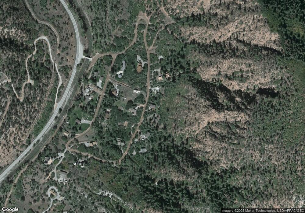
Map
Nearby Homes
- 11283 Highway 133
- 116 S Bill Creek Rd
- 315 Forest Service Rd
- 135 Irwin Dr
- 900 Dorais Way
- 1625 Prince Creek Rd
- 1634 Prince Creek Rd
- 1644 Prince Creek Rd
- 860 Perry Ridge
- 769 Perry Ridge
- 719 Perry Ridge
- 782 Perry Ridge
- 221 Crystal Canyon Dr
- 10 Patterson Dr
- 2240 Old Herron Rd
- 101 Bowles Dr
- 777 Old Herron Rd
- 107 Bowles Dr
- 227 Sage Rim Cir
- 112 Bowles Dr
- 483 Crystal Cir
- 515 Crystal Cir
- 490 Crystal Cir
- 421 Crystal Cir
- 432 Crystal Cir
- 535 Crystal Cir
- 128 Crystal Cir
- 548 Crystal Cir
- 395 Crystal Cir
- 170 Crystal Cir
- 394 Crystal Cir
- 74 Crystal Cir
- 66 Crystal Ln
- 310 Crystal Cir
- 108 Crystal Cir
- 247 Crystal Cir
- 285 Crystal Cir
- 208 Crystal Cir
- 269 Crystal Cir
- 269 Crystal Country Cir